Shimanami Kaido Cycling Road
しまなみ海道サイクリングロード34°24′ N 133°12′ E68.1 km · 514 m up · 39% quiet roadsModerateRoad bike, Touring
The Shimanami Kaido Cycling Road suits anyone who wants to cross the Seto Inland Sea by bike from Onomichi in Hiroshima to Imabari in Ehime over six expressway bridges, and the one catch is a climb up a ramp to every bridge deck. Bicycles cross the bridges free under the Shimanami Cycling Free scheme until 31 March 2028.
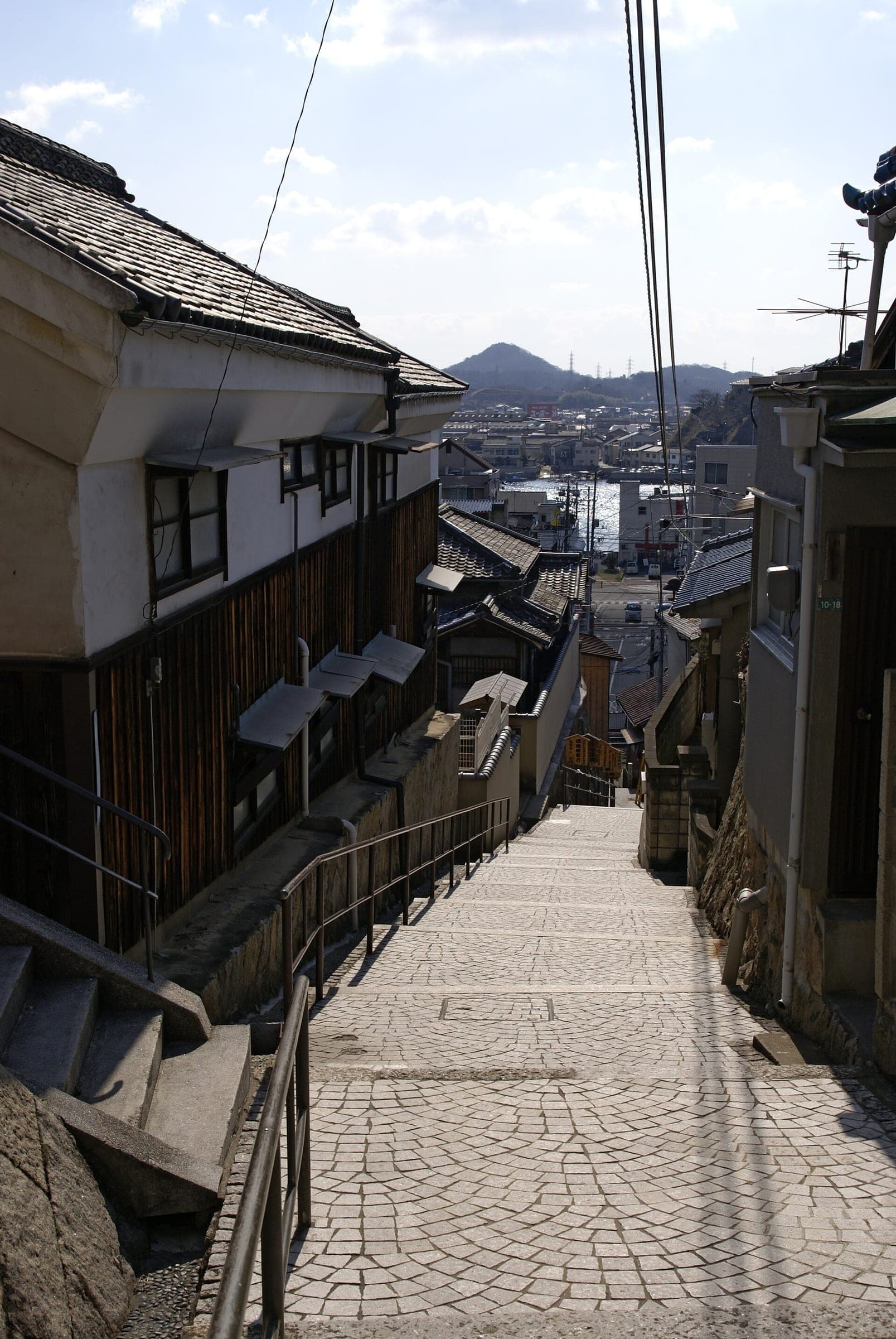
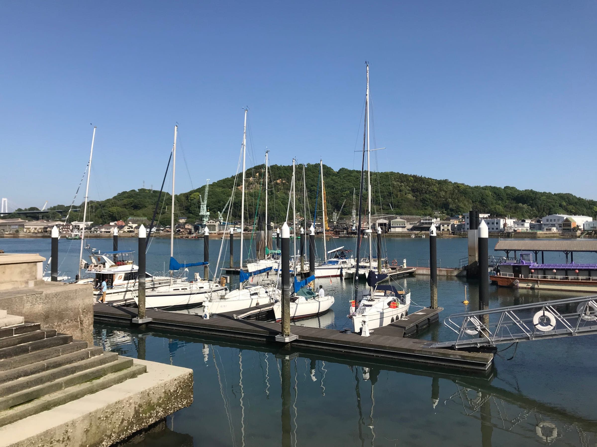
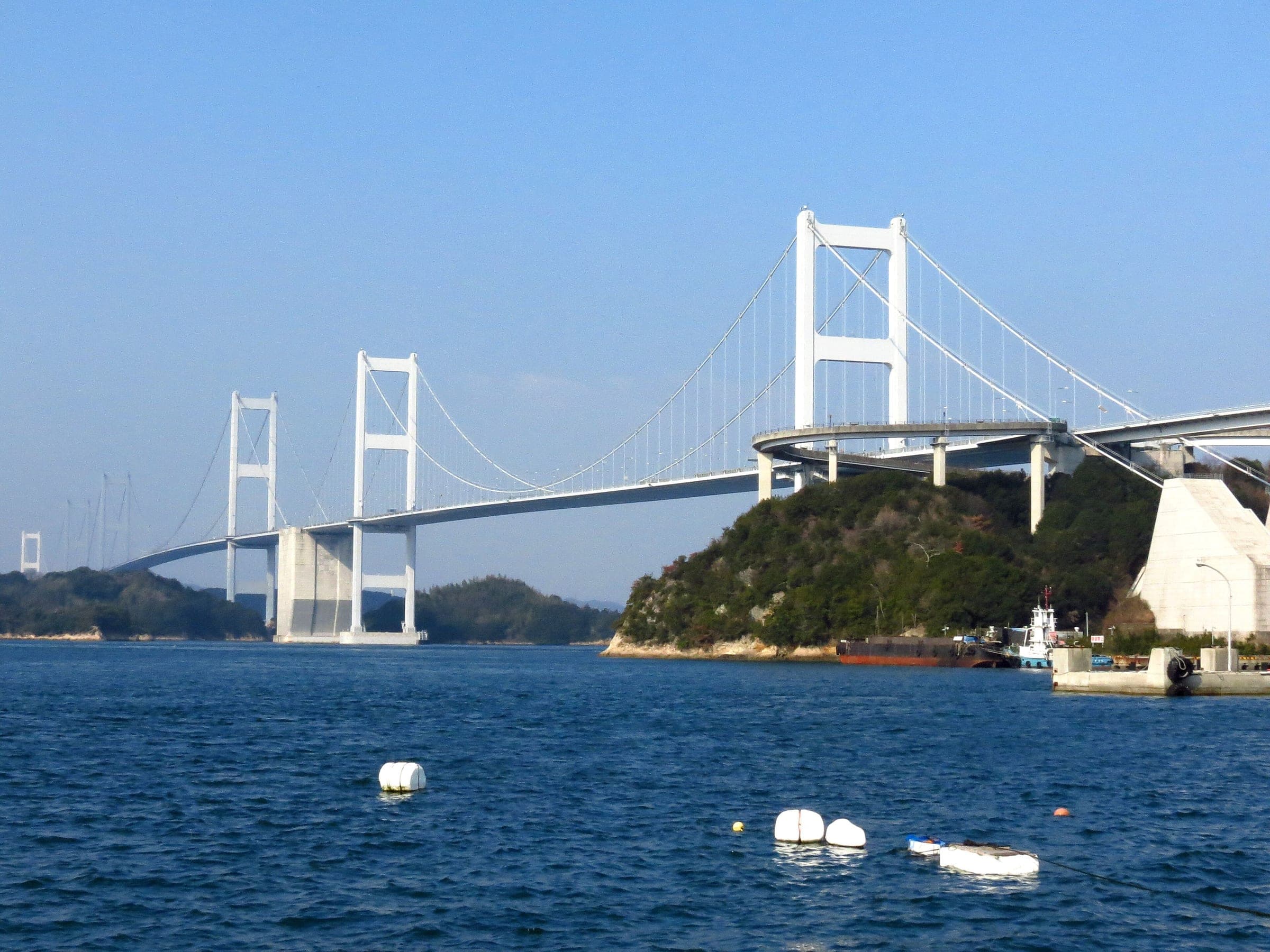
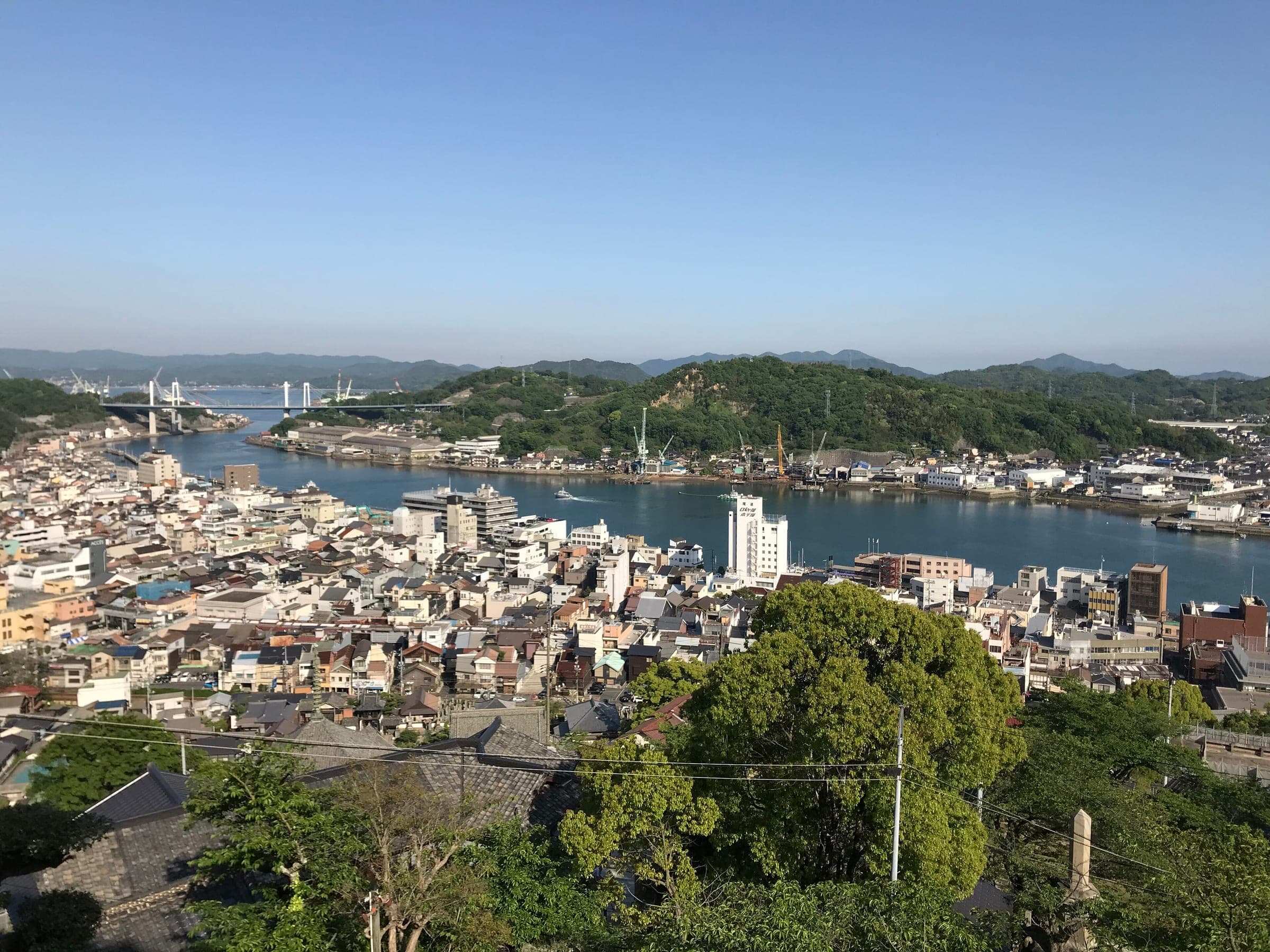
Photo OKJaguar · Wikimedia Commons · CC BY-SA 4.0 and others, credited in the gallery
ModeratePoint to pointRoad bike, Touring, E-bike, City bike
KonbiniDrinking waterToiletsBike shopsTop of chart 100 m
Routed over OpenStreetMap with BRouter trekking and measured against Copernicus DEM GLO-30 30 m on 2026-10-12. 15.7 km crosses bridges or water, where the elevation is drawn straight across. 0.3 km runs through tunnels, drawn straight through the hill.
On the road
- Surface
- Sealed throughout. The bridges carry their own paths beside the expressway, and a blue line painted on the road guides you between them across the islands.
- Traffic
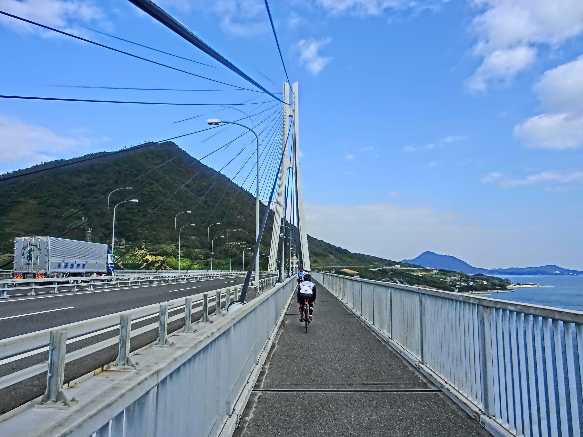
- Island roads carry local traffic. On the Innoshima Bridge and on the two bridges either side of Hakatajima you share the path with mopeds, and walkers have priority on the Ikuchi, Tatara and Kurushima-Kaikyo bridges.
- Wind
- JB Honshi Expressway warns that the wind can blow hard over the straits, so expect strong gusts on the bridge decks.
- Start
- JR Onomichi Station. Shimanami Japan's rental terminal sits by the station, and the short ferry across the Onomichi Channel leaves from the waterfront a few minutes' ride away.
- Finish
- Sunrise Itoyama. The cycling terminal at Sunrise Itoyama stands at the Imabari end of the Kurushima-Kaikyo Bridge and takes back Shimanami Japan's rental bikes.
- Getting there
- Rinko at Onomichi Station, Sanyo Shinkansen, Oversized baggage on the Shinkansen, Takkyubin for boards and bikes
- In rain
- Heavy rain closed the Shimanami Kaido in late June 2026, and Shimanami Japan reported the closure lifted as of 23:00 on 26 June. In the rainy season and typhoon season, check JB Honshi Expressway's closure page before you set off.
Ride safely
- Bicycles cross the six expressway bridges free under JB Honshi Expressway's Shimanami Cycling Free scheme until 31 March 2028. Electric kick scooters fall outside the scheme and pay the toll.
- The Shin-Onomichi Bridge has no path for bikes, and JB Honshi recommends the ferry over the Onomichi Bridge because that road is narrow and busy.
- Mopeds share the path on the Innoshima Bridge and on the Omishima and Hakata-Oshima bridges, so ride single file on the left there and keep to the legal speed.
- Walkers have priority on the Ikuchi, Tatara and Kurushima-Kaikyo bridges.
- JB Honshi asks riders to slow down on the bridge approach ramps and to stop and look at blind corners.
- Tandems longer than 2.5 m cannot turn round on the Kurushima-Kaikyo, Tatara or Ikuchi bridges, and the walker and bike lift on Mashima cannot take them.
Wind at Ikuchijima, 1991-2020 normals
Which way to ride, month by month風
Jan
WNW 1.7
–
Feb
WNW 1.6
–
Mar
W 1.6
–
Apr
W 1.5
–
May
NW 1.4
–
Jun
SSW 1.2
–
Jul
SSW 1.3
–
Aug
N 1.4
–
Sep
N 1.5
–
Oct
NNE 1.5
–
Nov
NW 1.4
–
Dec
WNW 1.7
–
Arrows point the way the wind blows. Speeds are monthly means in m/s. The wind on any day can differ from the monthly pattern, so check the forecast.
Where to stop
Stops along the way寄り道
OnomichiTown
Start by the station and catch the ferry to Mukaishima.
MukaishimaTown
InnoshimaTown
Innoshima Suigun Castle keeps the Murakami pirates' armour and papers.
SetodaTown
Setoda's port town sits on Ikuchijima before the Tatara Bridge.
OmishimaTown
HakatajimaTown
ImabariTown
The route comes down off the Kurushima-Kaikyo Bridge at Sunrise Itoyama on the edge of Imabari.
Every stop OpenStreetMap lists along the line (47): bike rental, konbini, cafés, bike shops, drinking water
- Bike rentalBike rentalkm 0
- Road Bike Rental Japan (Onomichi)Bike rentalkm 0
- 7-ElevenKonbinikm 0.1
- Yamaneko MillCaféskm 0.3
- さくら茶屋Caféskm 0.3
- ジョンバーガーCaféskm 0.4
- Kujaku-soCaféskm 0.4
- kadoCaféskm 0.5
- THE RED BICYCLESBike shopskm 0.5
- Bike rentalBike rentalkm 0.5
- 鹿鳴館Caféskm 0.6
- 7-ElevenKonbinikm 0.8
- 喫茶まちCaféskm 1.4
- あづま家食堂Caféskm 1.8
- ローソンKonbinikm 2
- Seven-ElevenKonbinikm 3.2
- CafésCaféskm 4.9
- LAWSONKonbinikm 15.3
- サークルK因島重井店Konbinikm 17.9
- バイクルセンター 京丸Bike shopskm 18.8
- LAWSONKonbinikm 19.3
- FamilyMartKonbinikm 19.5
- 7 elevenKonbinikm 21.9
- LawsonKonbinikm 27.5
- FamilyMartKonbinikm 27.7
- PoplarKonbinikm 28
- Setoda Port Rental TerminalBike rentalkm 28.2
- HyakkoyaCaféskm 28.3
- 瀬戸田しおまち商店街(瀬戸田港徒歩5分)Bike rentalkm 28.6
- Cafe ViaCaféskm 28.6
- Soil MinatoyaCaféskm 28.8
- Sunset Beach Rental Bike TerminalBike shopskm 31.8
- CafésCaféskm 31.8
- Drinking waterDrinking waterkm 34.9
- しまなみコーヒーCaféskm 36.9
- 道の駅 多々羅しまなみ公園(大三島BS至近)Bike rentalkm 36.9
- Cafe un filCaféskm 46.6
- LawsonKonbinikm 46.7
- Hakata Rental Cycle TerminalBike rentalkm 46.8
- Bike rentalBike rentalkm 52.3
- Ishi no cafeCaféskm 52.7
- LawsonKonbinikm 57.4
- FamilyMartKonbinikm 57.6
- 亀老山入口(高速バス停亀山)Bike rentalkm 59.4
- 吉海レンタサイクルターミナルBike rentalkm 61.1
- Drinking waterDrinking waterkm 62.5
- Sunrise ItoyamaBike rentalkm 68
From OpenStreetMap, within each kind’s reach of the line. Opening hours change; check before you rely on one.
Ways off the route
OnomichiRail
JR San'yo Line. The islands have no railway, so the next station on the route is Imabari.
ImabariRail
JR Yosan Line, in central Imabari a short ride from the bridge.
OnomichiStation · km 0
HashihamaStation · km 67.9 · 1.5 km off the line
四国旅客鉄道
Stations from OpenStreetMap within 2 km of the line. Check whether the line takes bikes before you plan to use it.
Tunnels
The line runs through 6 tunnels, 0.3 km in all; the longest is 125 m.
Days with lunch and dinner booked in
Ride days built on this route一日
Rental near the start
Rent a bike for itレンタル

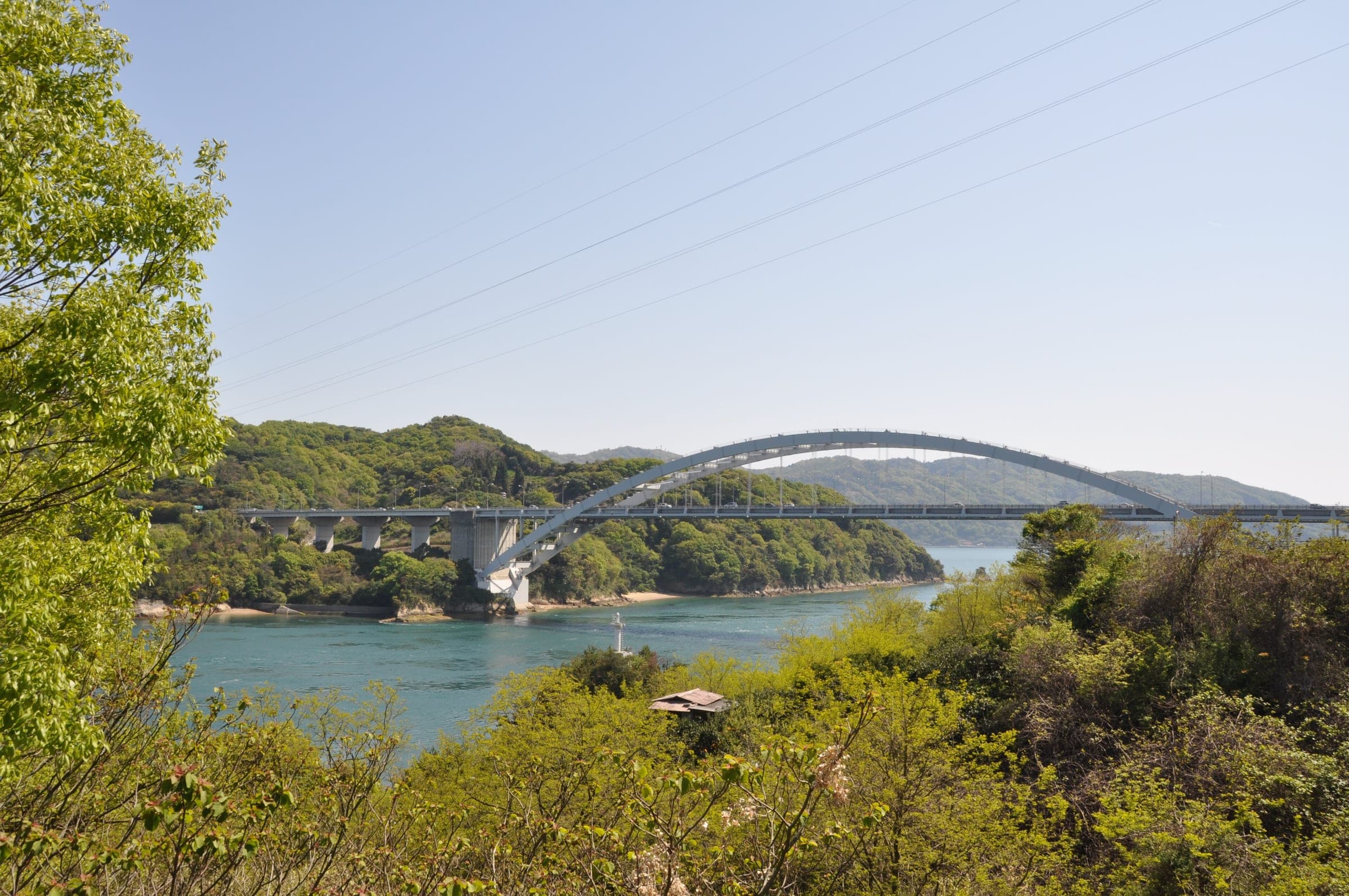
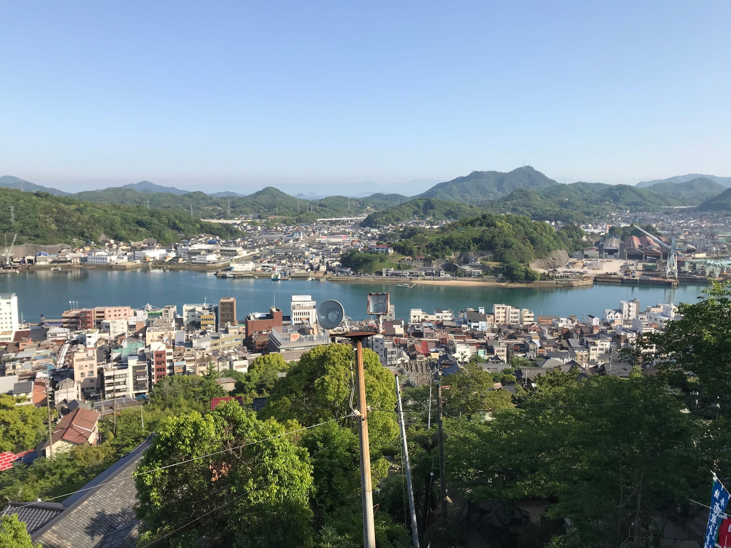
The route leaves JR Onomichi Station and crosses the narrow Onomichi Channel by ferry to Mukaishima, since the expressway bridge there has no bike path. From Mukaishima a blue line on the road leads you over Innoshima, Ikuchijima, Omishima, Hakatajima and Oshima, and the last bridge carries you over the Kurushima Strait to Itoyama on the edge of Imabari.
Each bridge has its own path, and the rules change from one to the next. Mopeds use the same path as you on the Innoshima Bridge and on both bridges at Hakatajima. On the Ikuchi and Tatara bridges and on the long Kurushima-Kaikyo crossing you share the deck with people on foot, and they go first.
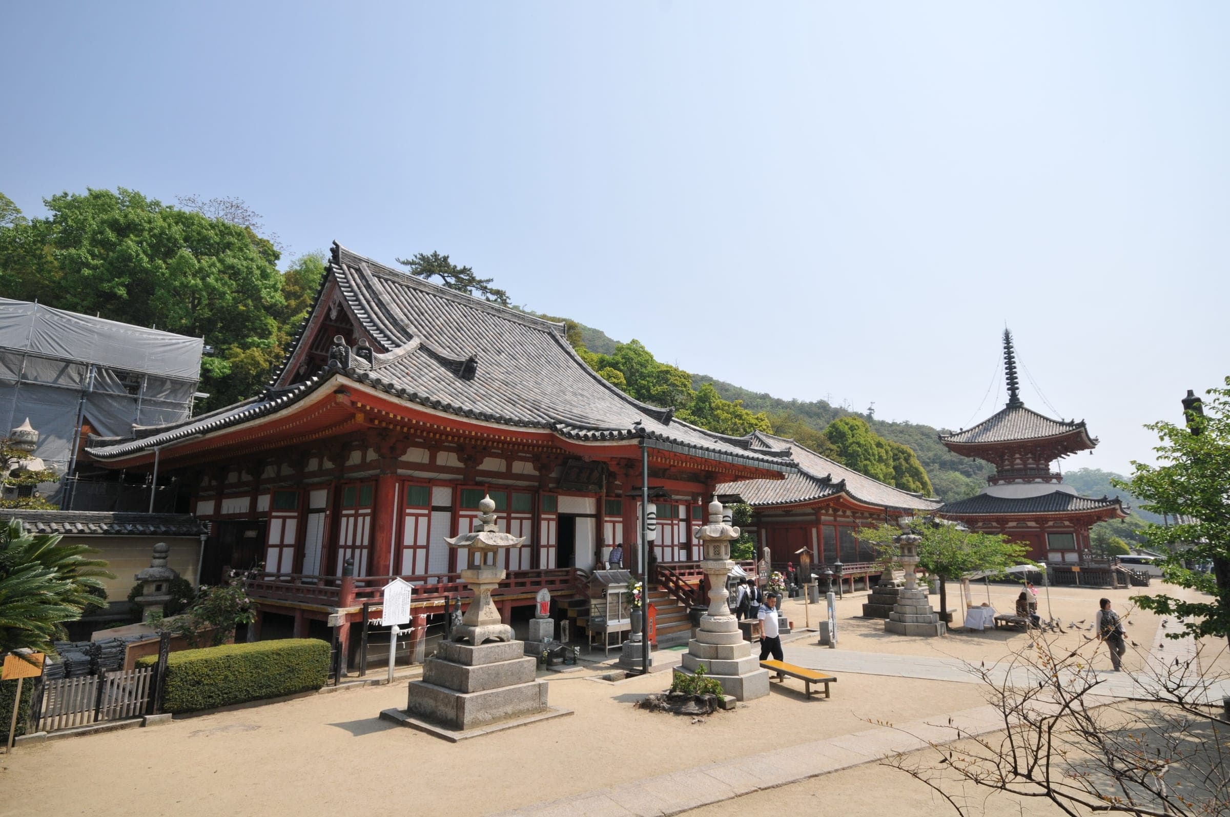
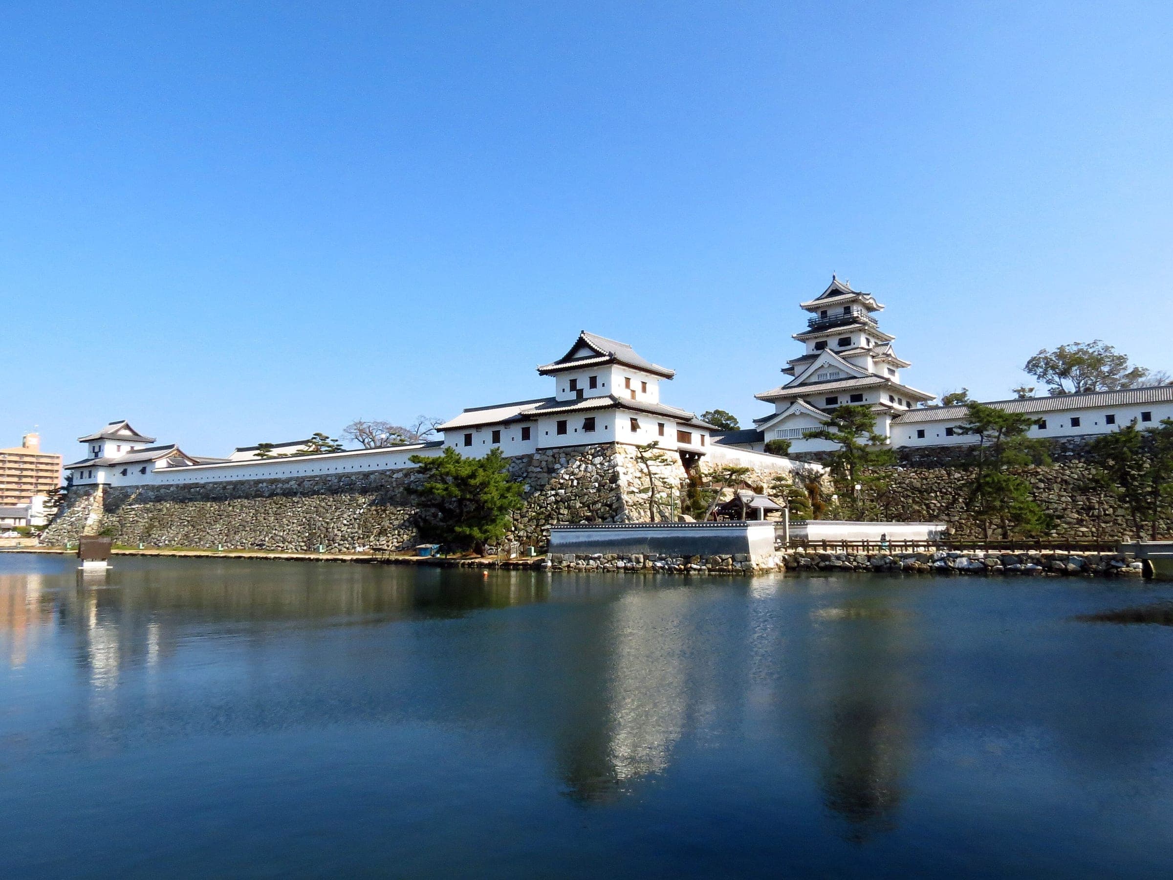
The Murakami pirates controlled these straits in the Sengoku period, and Japan Heritage now tells their story. Innoshima Suigun Castle and the Murakami Kaizoku Museum near the route keep their armour and papers, and boats run tide-race trips round their old base on Noshima. Look out for kaizoku musubi, the rice balls the area serves in their honour.
Shimanami Japan rents bikes from ten terminals that include Onomichi and Imabari, and you can hand a bike back at a different terminal from the one you took it from. When you get a puncture, their staff come out to you and swap the bike.
Worth knowing
- Ride south from Onomichi so the Kurushima-Kaikyo Bridge comes last, then take the train home from JR Imabari Station.
- Book a one-way rental and return the bike at the Imabari Station terminal. Sunrise Itoyama closed for renovation on 15 September 2026, so phone Shimanami Japan before you plan to use the Itoyama terminal.
- Set aside a night on the islands if you want time for Setoda or the Murakami Kaizoku Museum.
Quick answers about Shimanami Kaido Cycling Roadよくある質問
Do you pay a toll to cycle the Shimanami Kaido bridges?
No. Bicycles cross the six bridges free under JB Honshi Expressway's Shimanami Cycling Free scheme, which runs until 31 March 2028. Electric kick scooters still pay.
Can you cycle from Onomichi to Mukaishima over the bridge?
No. The Shin-Onomichi Bridge has no bike path, and JB Honshi Expressway recommends the short ferry across the Onomichi Channel over the busy Onomichi Bridge.
Can you return a Shimanami rental bike in Imabari?
Yes. Shimanami Japan lets you return its rental bikes at a different terminal from the one you rented at, and Imabari is one of its ten terminals.
Is the Shimanami Kaido windy?
It can be. JB Honshi Expressway warns that strong winds blow over the straits, which you feel most on the bridge decks.
How long is the Shimanami Kaido Cycling Road ride?
The Shimanami Kaido Cycling Road ride is 68.1 km with 514 m of climbing by our route data, routed over OpenStreetMap and measured against Copernicus DEM GLO-30 30 m. The highest point is 79 m, and the steepest 200 m averages 14.7%.
Where can you buy food and water on the Shimanami Kaido Cycling Road ride?
OpenStreetMap lists konbini at 15 points within reach of the Shimanami Kaido Cycling Road line, and drinking water at 2. The longest stretch without konbini is 18.7 km, so carry what you need for it.
Which way should you ride Shimanami Kaido Cycling Road in April to May and October to November?
In April to May and October to November the most frequent wind at the nearest weather station blows from the north-west at about 1.5 m/s on average. By our calculation the Shimanami Kaido Cycling Road ride finishes with less headwind either way.
Within 8 km
Places to stay nearby宿
Within 8 km
Places to eat and drink nearby食
Within 8 km
Sights nearby見どころ
In the journal and guides
Read more about Shimanami Kaido Cycling Road特集
Feature · 8 min read
How do you ride the Tobishima Kaido as a quieter day after Shimanami?
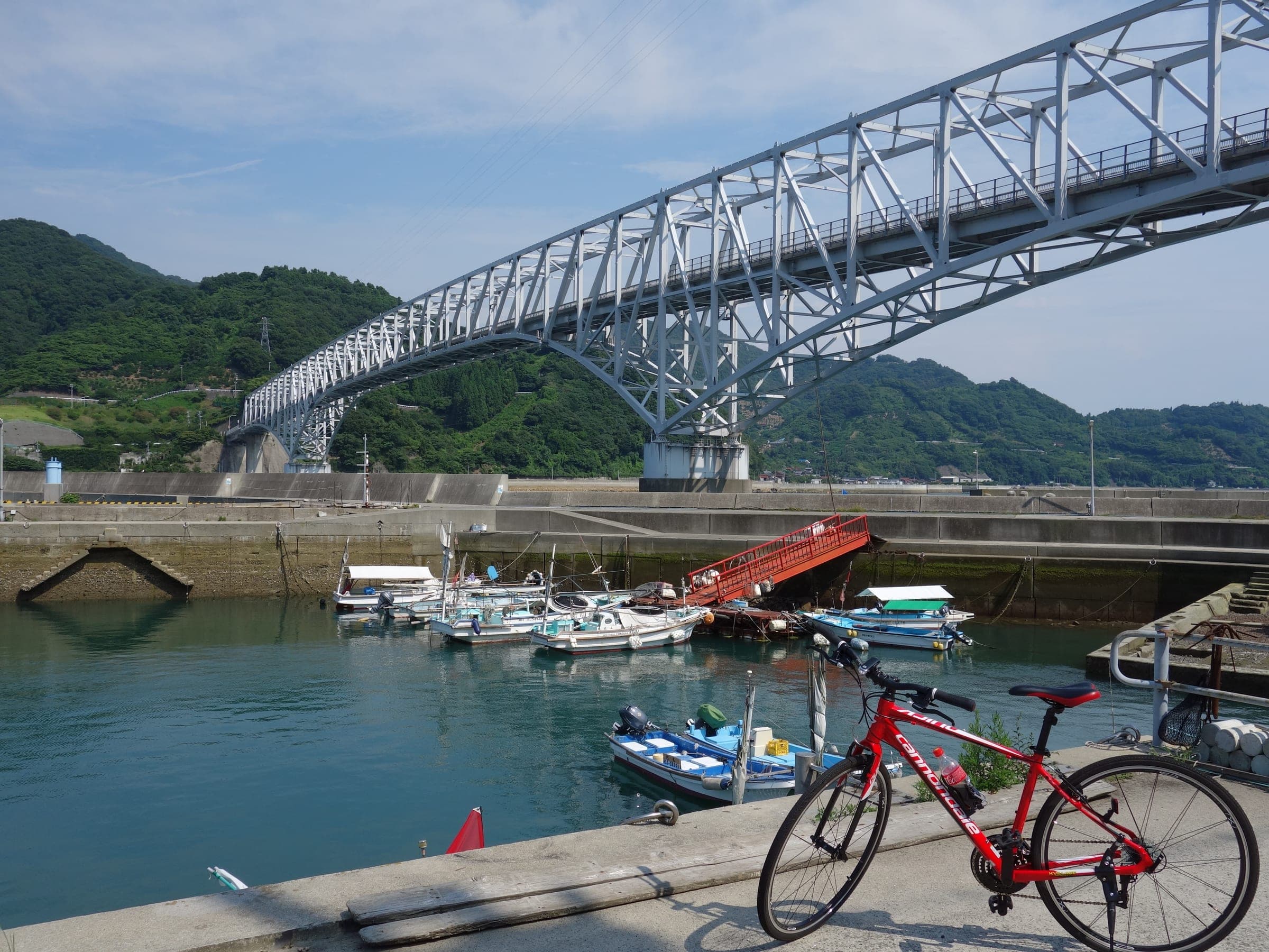
Start at JR Aki-Kawajiri and cross seven bridges to Okamura, where a 23-minute ferry carries you over to Omishima for the night. The boats set the shape of the day, so plan lunch around them.
Guide · 5 min read
Can you do the Shikoku 88 temple pilgrimage by bike?
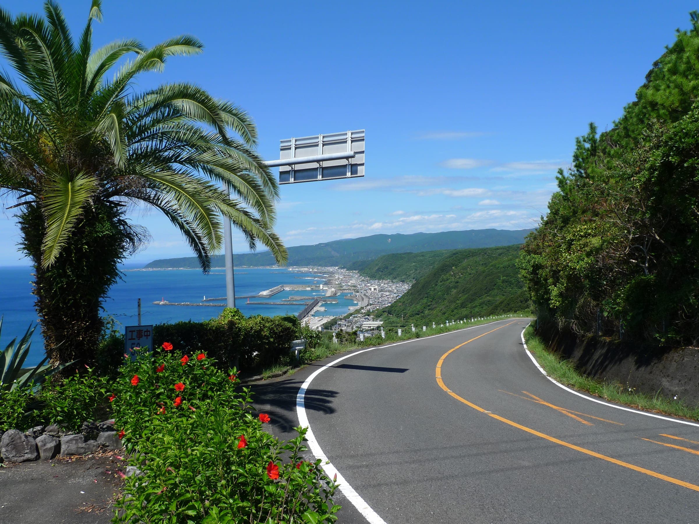
Yes. The temples' association lets pilgrims choose how they travel and in what order, and riders follow the roads round about 1,400 km of island. Arrive at each temple as a pilgrim: bow at the gate, worship before the stamp and leave the camera away while people pray.
Guide · 6 min read
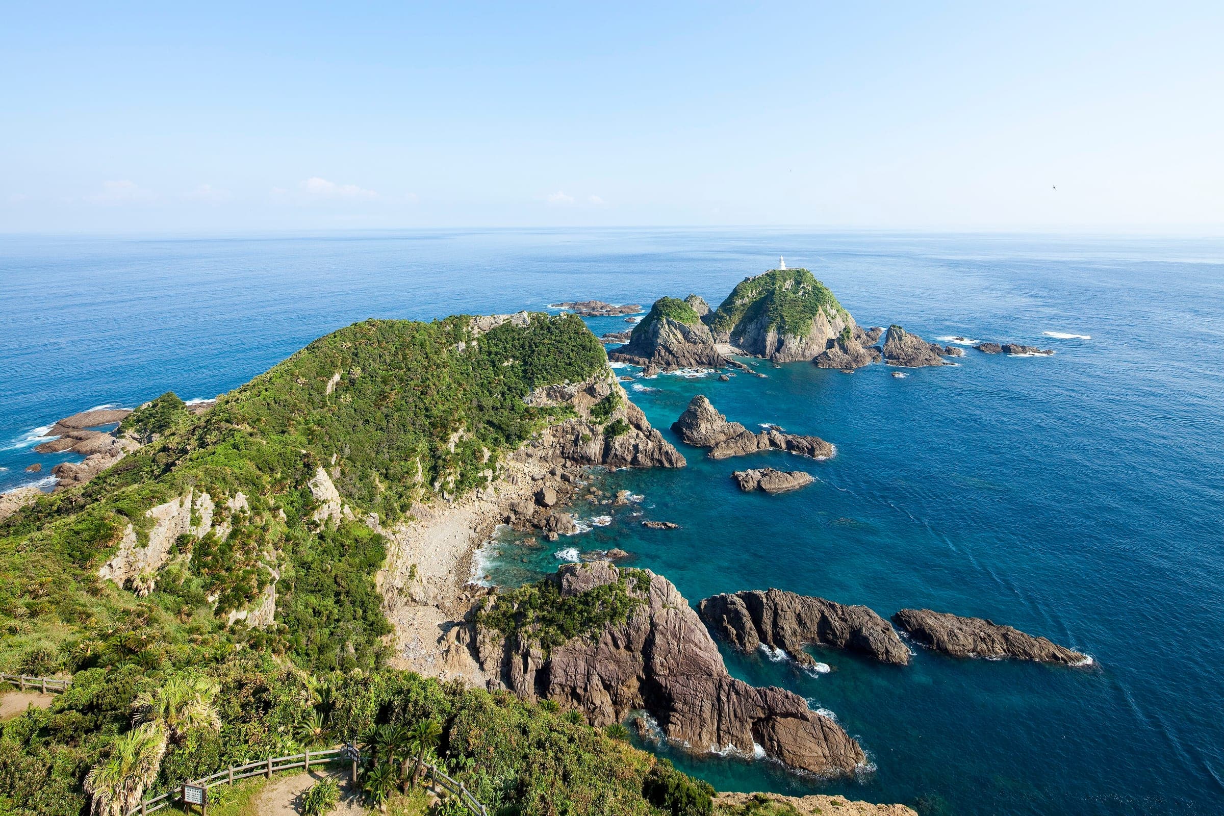
How do you cycle Japan end to end, from Cape Soya to Cape Sata?
Japan's National Cycle Routes stop well short of joining the northern and southern capes, so riders link them with ordinary roads. Ride Hokkaido covers the island, this guide picks you up at Aomori, and the season decides the direction.
Guide · 6 min read
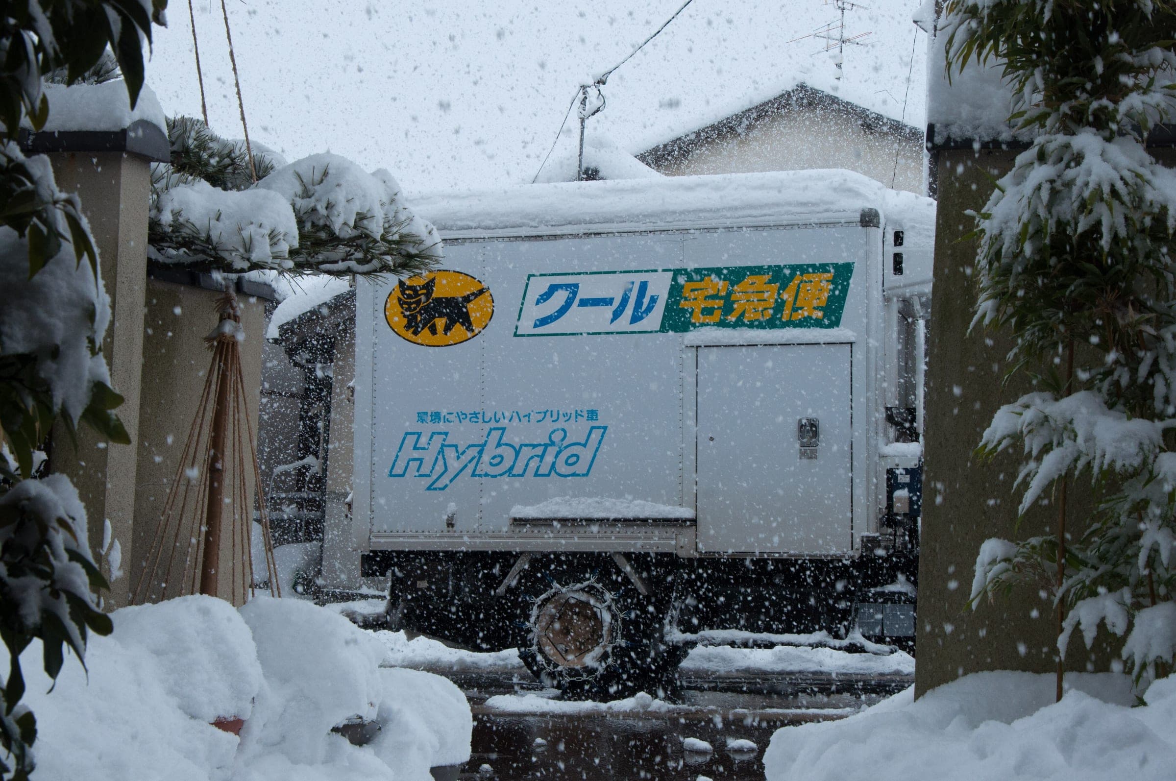
How do you send skis, boards and bikes ahead in Japan?
Hand a covered ski or board bag to Yamato two days before you ride and it waits at the resort desk. A bike goes only boxed, within 200 cm and 30 kg, and Sagawa's web booking stays down after its September 2026 breach.