guide · 6 min read
How do you cycle Japan end to end, from Cape Soya to Cape Sata?
Japan's National Cycle Routes stop well short of joining the northern and southern capes, so riders link them with ordinary roads. Ride Hokkaido covers the island, this guide picks you up at Aomori, and the season decides the direction.
By Adam BognarPublished
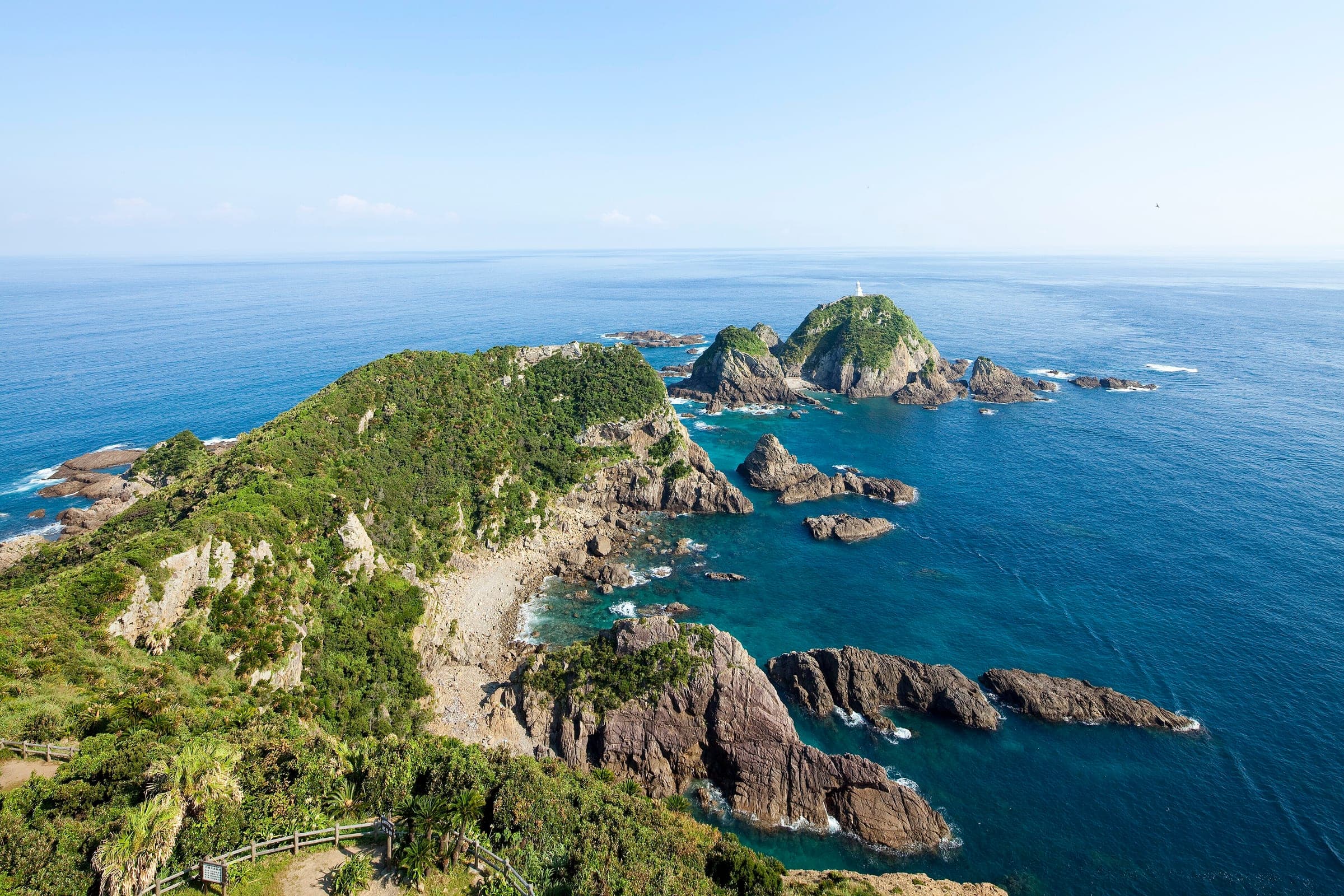
To cycle Japan end to end, you link Cape Soya at the top of Hokkaido to Cape Sata at the southern tip of Kagoshima's Osumi Peninsula on a route of your own. MLIT's National Cycle Routes do not join the two capes into one signed line, so most of the way through Honshu and Kyushu you ride ordinary roads. The routes give you signed, serviced stretches to string along the way, from the 1,487 km Pacific Cycling Road to the 70 km Shimanami Kaido. Ride Hokkaido at ridehokkaido.com covers the island, and this guide picks the ride up at Aomori. Ride it north to south from September, or south to north in spring to stay ahead of the rainy season.
We built this from MLIT's list of National Cycle Routes, our own route files, JMA's rainy-season normals for 1991 to 2020 and the railways' bike rules, in October 2026. Route lengths are the organisers' published figures. The seasonal advice is our reading of JMA's normals, and the dates show what an average year looks like.
Which routes can you string together between Aomori and Cape Sata?
These signed routes lie along the natural lines south. Each length is the organiser's published figure.
| Route | Where | Length (published) | Why it fits an end-to-end ride | The catch |
|---|---|---|---|---|
| Fukushima Hamadori Cycle Route | Fukushima's Pacific coast, Shinchi to Iwaki | 179 km | The Pacific line south through Tohoku | A few narrow tunnels, and some roads stay closed to bikes under evacuation orders |
| Tsukuba-Kasumigaura Ring-Ring Road | Ibaraki | 176 km | A car-free old railway line on the way to Chiba | A loop, so you ride only part of it heading south |
| Pacific Cycling Road, from stage 1 to stage 6 | Choshi in Chiba to Kada port in Wakayama City | 1,487 km | Six prefectures of the Pacific coast in one signed line | Two ferries, across the mouths of Tokyo Bay and Ise Bay |
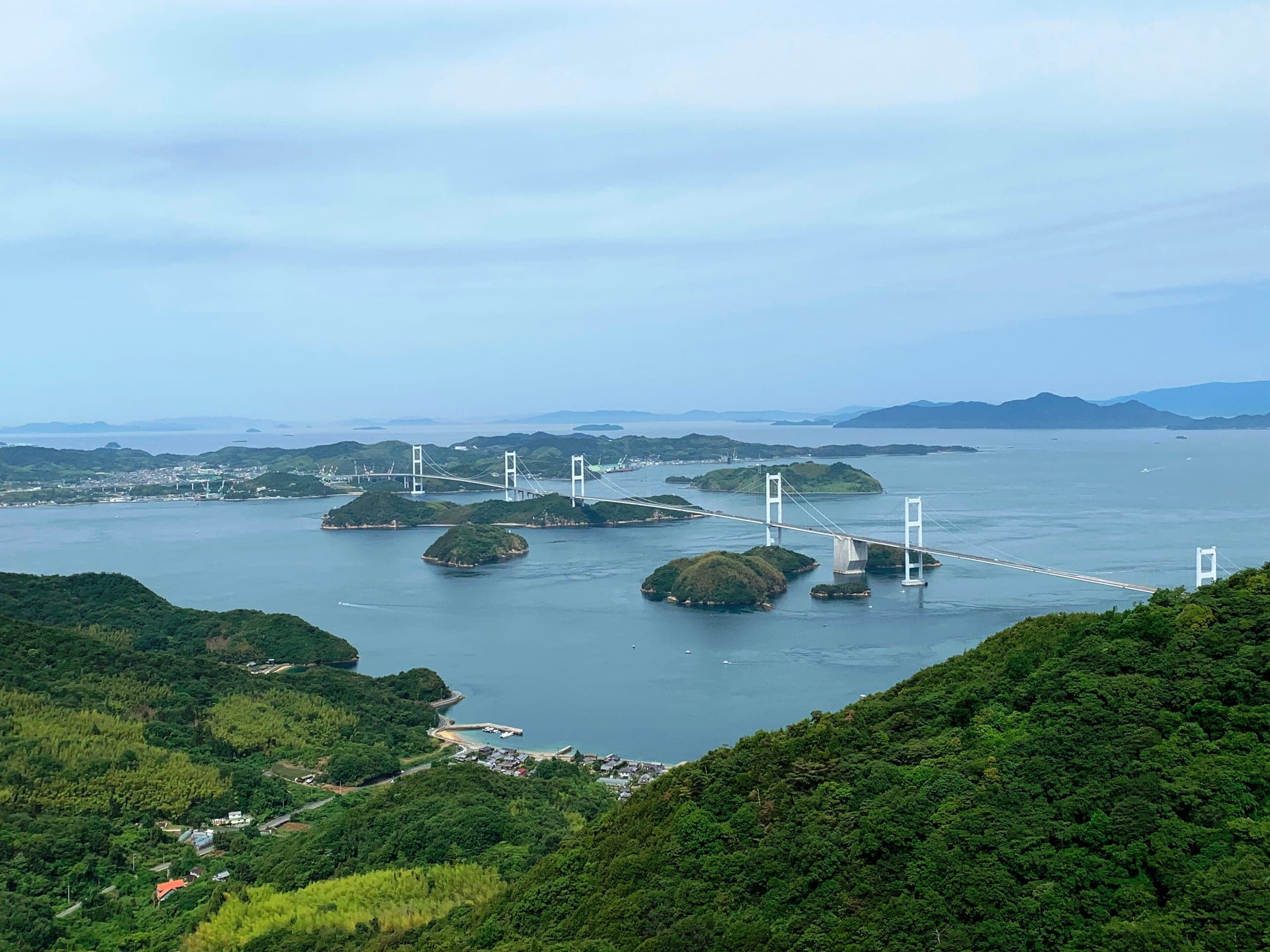
| Akinada Tobishima Kaido or Shimanami Kaido | The Seto Inland Sea islands | Shimanami 70 km | Island bridges between Honshu and Shikoku | Each runs across the sea, so plan where you rejoin the mainland |
| Ama-Ichi | Amakusa, Kumamoto | 152 km | The Amakusa islands on the way south through Kyushu | Narrow bridges between the second and fifth crossings |
A rider who prefers the Sea of Japan coast can swap the Pacific line for the Toyama Bay Cycling Route at 102 km and the Tottori Uminami Road at 152 km. The Ishikawa Satoyama-Satoumi route between them runs 517 km, and on the Noto peninsula it still carries closures and detours after the 2024 earthquake. Check Ishikawa Prefecture's road map before you go and ride with care for towns that are rebuilding.
Long gaps sit between these routes, through northern Tohoku and from Wakayama to the Inland Sea. Our collection of National Cycle Routes lists all twelve with MLIT's lengths.
Who covers the Hokkaido part of the ride?
Ride Hokkaido, our sister guide, covers every place on the island, from its towns to its onsen. Cape Soya and the roads south to the strait belong to that site, and this guide starts again at Aomori. A rider skipping Hokkaido can begin at Shin-Aomori, which Hayabusa 5 reached from Tokyo in 178 minutes in the 2026 timetable on the Tohoku Shinkansen. Check the bike rules of whichever ferry or train you take across the Tsugaru Strait before you book it.
When is the best season to cycle Japan end to end?
September to November north to south, or April to early June south to north. JMA's normals for 1991 to 2020 put the start of the rainy season (梅雨, tsuyu) around 30 May in southern Kyushu, 5 June in Shikoku, 7 June in Kanto and 15 June in northern Tohoku. It ends around 15 July in southern Kyushu and 28 July in northern Tohoku. A spring rider who leaves Cape Sata in early April has about ten weeks before the rain reaches northern Tohoku, computed from those normals.
| Region | Rainy season starts (JMA normal) | Rainy season ends (JMA normal) | What else to watch |
|---|---|---|---|
| Southern Kyushu | Around 30 May | Around 15 July | Aso's crater area closes at volcanic alert level 2 and above |
| Shikoku | Around 5 June | Around 17 July | Typhoons in late summer and autumn |
| Kanto and Koshin | Around 7 June | Around 19 July | Summer heat and humidity on the coast |
| Northern Tohoku | Around 15 June | Around 28 July | Zao's mountain road, further south in Tohoku, shut for winter on 4 November 2026 |
An autumn rider heading south meets the typhoon season on the Pacific coast, which runs through late summer and autumn, and should check JMA's warnings and the ferry operators' notices each morning. Our route file for the Pacific Cycling Road gives August means between 25.5 °C at Choshi and 27.4 °C at Irago on JMA's coastal stations, with high humidity, which is the main reason to avoid midsummer. Mountain roads close from the end of October: Norikura's high roads take their last traffic on 31 October 2026, and the Zao Echo Line shuts for the season on 4 November.
JMA moved Aso from volcanic alert level 3 to level 2 on 1 September 2026, and at level 2 the ground around Nakadake's first crater stays closed. The Aso caldera ride sits well outside that zone. Check JMA's page for Aso before you ride, because the level can change within a day.
How do trains and takkyubin help on a ride this long?
The Shinkansen skips a gap and takkyubin moves what you are not carrying. Every Shinkansen takes a bagged bike up to 250 cm and 30 kg. On the Sanyo and Kyushu lines, book a seat with an oversized-baggage area for the space behind the last row. On JR East's lines north of Tokyo there is nothing to book. Hakata to Kumamoto took 32 minutes on Mizuho 601 in 2026, and Shin-Osaka to Fukuyama for the Inland Sea took 61 minutes on Nozomi 101. Our guide to bikes on the Shinkansen sets out each line's rule.
Yamato will carry a bike you box yourself within 200 cm and 30 kg, and a 200 size parcel from Kanto to Kyushu cost ¥6,540 cash on 11 October 2026. Ship the empty box to your last hotel near the finish and you can pack the bike there for the trip home. Smaller bags go cheaper: Yamato's 160 size from Kanto to Kyushu cost ¥3,630. Our takkyubin guide has the sizes and the Sagawa suspension that followed its September 2026 breach.
Quick answers
Is there an official end-to-end cycle route in Japan?
No. MLIT's twelve National Cycle Routes do not join Cape Soya to Cape Sata, and riders link them with ordinary roads. The longest of them is the 1,487 km Pacific Cycling Road.
What is the best time of year to cycle the length of Japan?
Spring from April riding north, or autumn from September riding south. JMA's normals put the rainy season's start around 30 May in southern Kyushu and 15 June in northern Tohoku, so a spring rider leaving the south in early April has about ten weeks before it reaches northern Tohoku.
Where does a Cape Soya to Cape Sata ride start and finish?
A Cape Soya to Cape Sata ride starts at Japan's northern cape in Hokkaido and finishes at Cape Sata on the Osumi Peninsula in Kagoshima, at the southern tip of Kyushu.
Can I skip part of a Japan end-to-end ride by train?
Yes. Every Shinkansen takes a bike packed as rinko, within 250 cm and 30 kg. On the Sanyo and Kyushu Shinkansen, book a seat with an oversized-baggage area for the bike bag.
We write from operators’ and agencies’ own pages, open map data and published research, and we date every fact we check. How we research.
Sources (11)
- https://www.mlit.go.jp/road/bicycleuse/good-cycle-japan/national_cycle_route/
- https://www.mlit.go.jp/road/bicycleuse/good-cycle-japan/national_cycle_route/pacific.html
- https://www.data.jma.go.jp/cpd/baiu/index.html
- https://www.data.jma.go.jp/cpd/baiu/kako_baiu03.html
- https://www.data.jma.go.jp/cpd/baiu/kako_baiu05.html
- https://www.data.jma.go.jp/cpd/baiu/kako_baiu09.html
- https://www.data.jma.go.jp/cpd/baiu/kako_baiu12.html
- https://ridehokkaido.com/
- https://www.pref.ishikawa.jp/michi/cycling/cycling-web/route.html
- https://www.data.jma.go.jp/vois/data/report/activity_info/503.html
- https://www.kuronekoyamato.co.jp/ytc/search/estimate/ichiran.html
Places in this piece関連
Read next案内
guide · 7 min read
Can you take a bike on the Shinkansen?
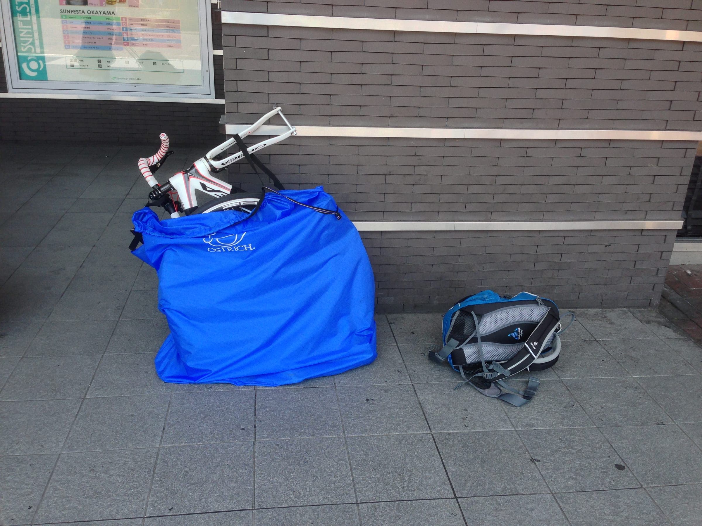
Every Shinkansen takes a bike packed as rinko, wheels off and fully bagged, up to 250 cm and 30 kg. West of Tokyo you should book the seat with the space behind it, and north of Tokyo there is nothing to book.
guide · 6 min read
How do you send skis, boards and bikes ahead in Japan?
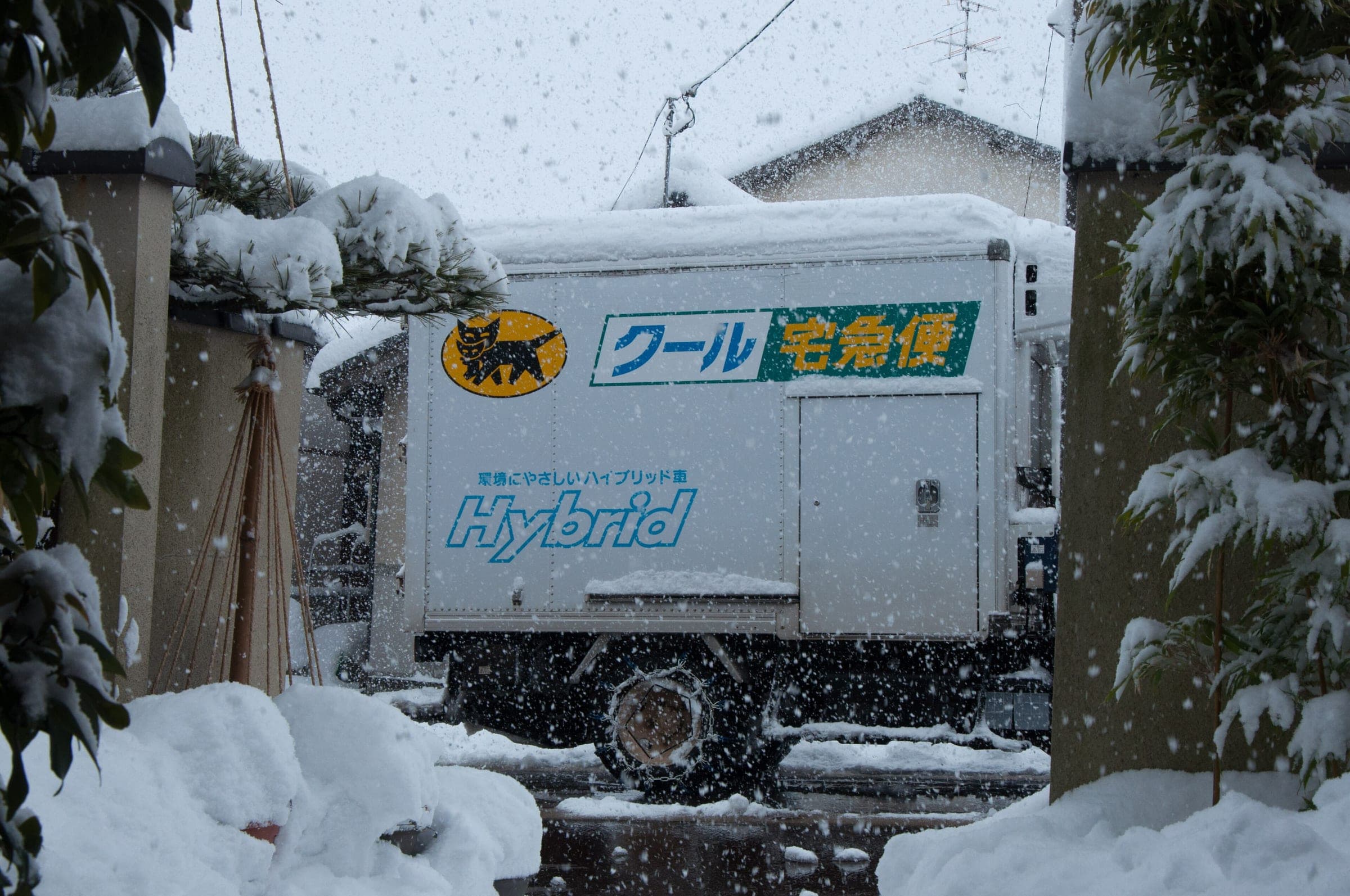
Hand a covered ski or board bag to Yamato two days before you ride and it waits at the resort desk. A bike goes only boxed, within 200 cm and 30 kg, and Sagawa's web booking stays down after its September 2026 breach.
guide · 6 min read
What is a rinko bag, and which one do you need for Japan's trains?
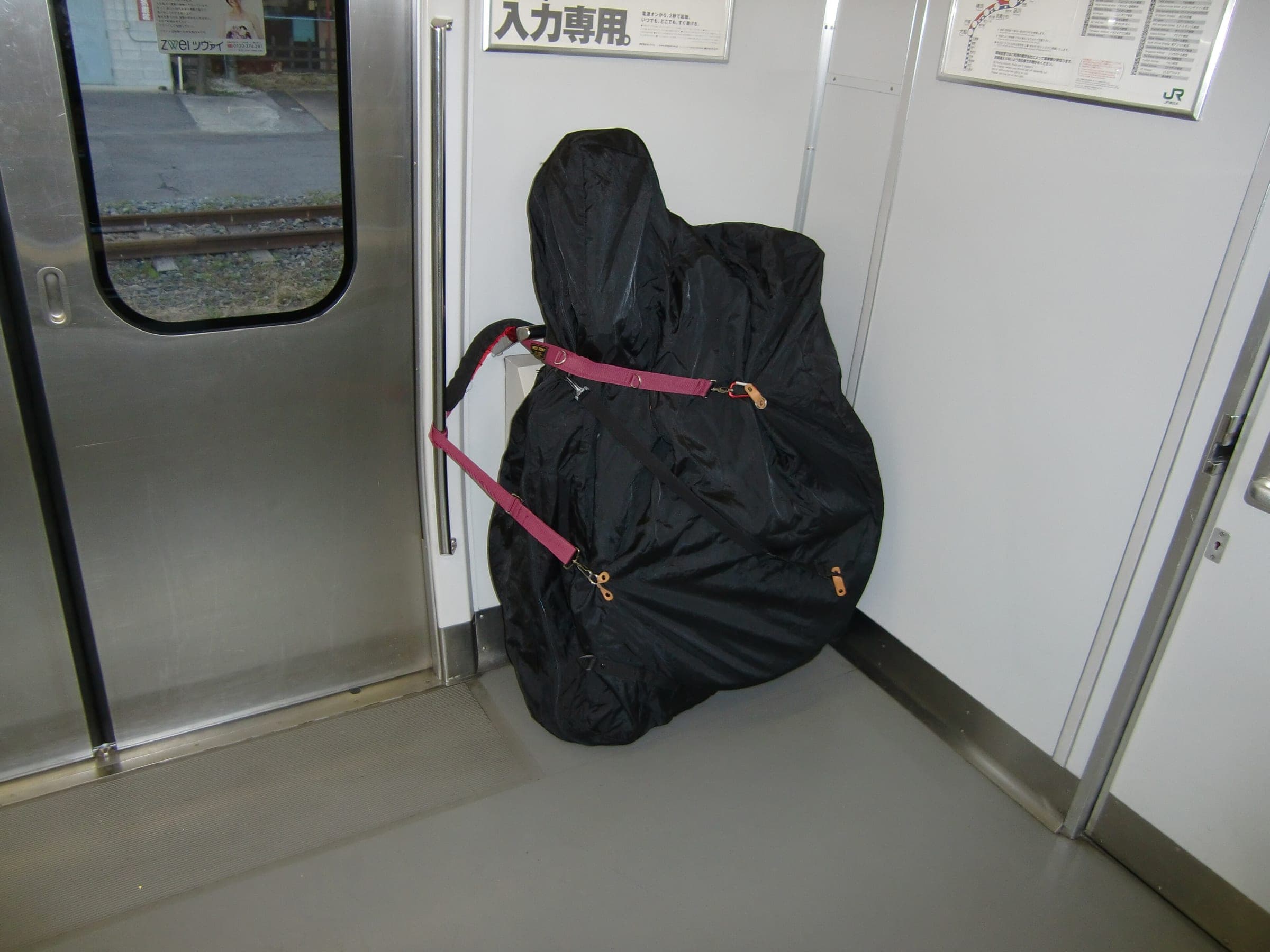
A rinko bag is the soft cover that turns a bike into luggage for Japan's trains. JR wants every part inside it and the whole bag within 250 cm and 30 kg, and a shop like Y's Road in Ueno will match one to your frame.