Aso Daikanbo and Milk Road Loop
阿蘇地域サイクリングルート Bルート 大観峰展望ルート32°56′ N 131°05′ E35.9 km · 566 m up · 26% quiet roadsModerateRoad bike, Touring
The Aso Daikanbo and Milk Road loop is route B of Aso's official cycling network, and it suits riders who want the classic view over the caldera from the northern rim in a half day from JR Aso Station; the trade-off is one sustained climb up the caldera wall.
Volcanic alert
Mt. Aso stays at volcanic alert level 2 with the crater area closed
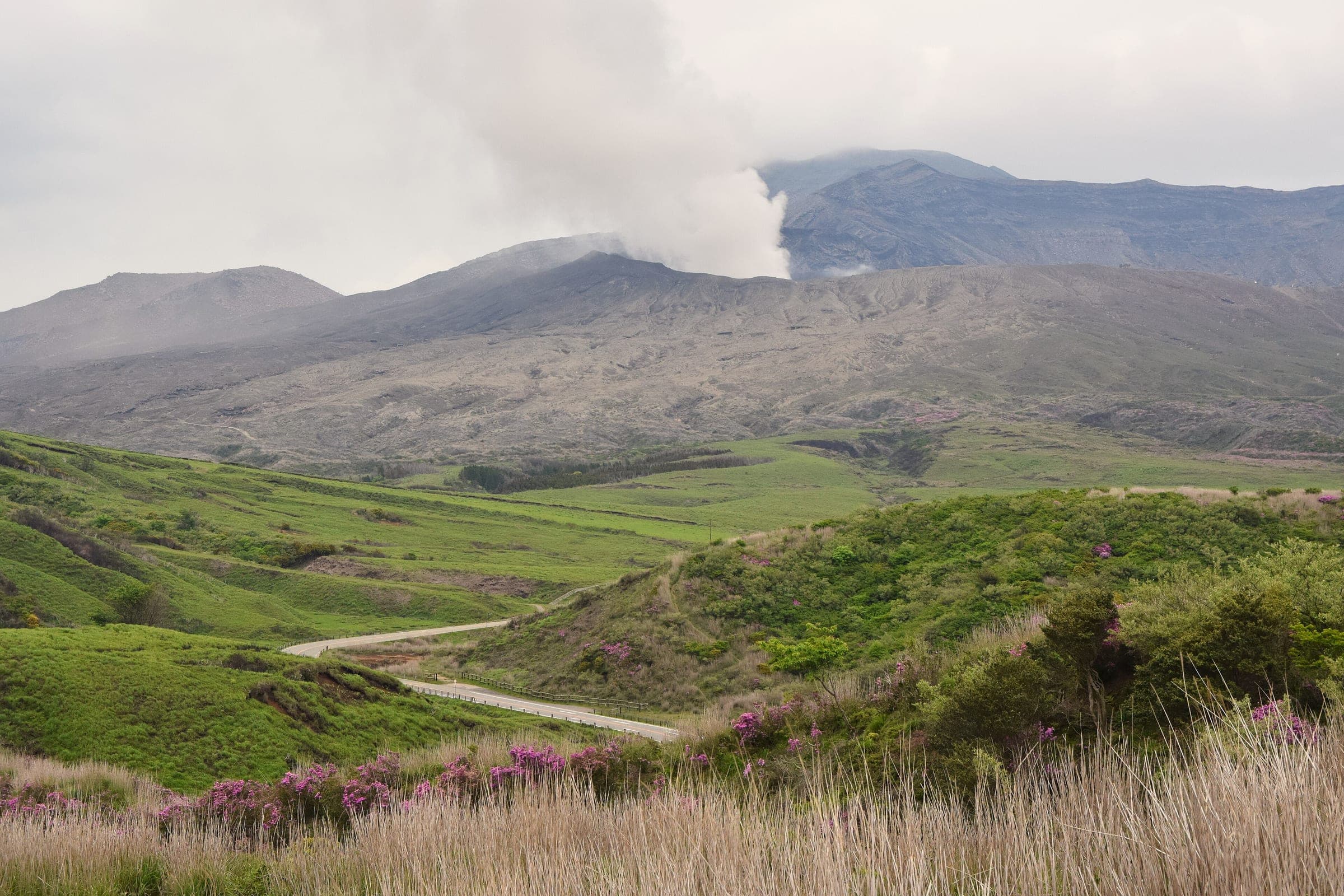
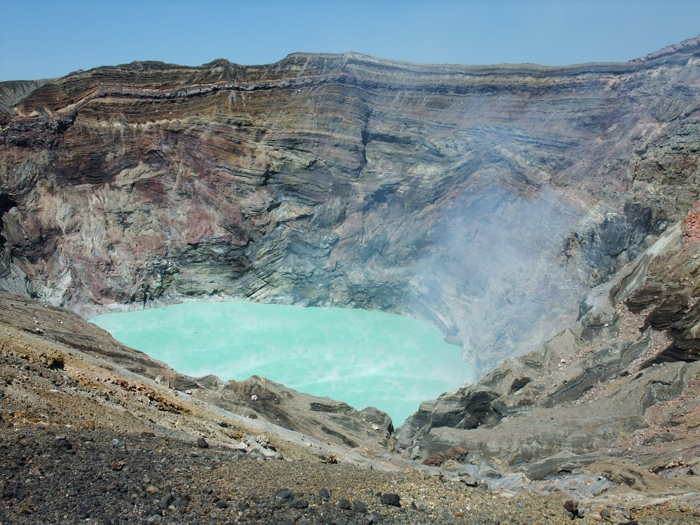
JMA raised Aso to level 3 on 14 August 2026 and lowered it to level 2 at 16:00 on 1 September. Nobody may go within about 1 km of Nakadake's first crater, and the park road to the rim stays shut. The road to Aso Sanjo Plaza has been open since 2 September, so Kusasenri and Daikanbo are reachable, and the caldera rim rides sit well outside the closed zone. Check JMA's page before you ride.
Checked 2026-10-11 · data.jma.go.jp
Photo Raita Futo from Tokyo, Japan · Wikimedia Commons · CC BY 2.0 and others, credited in the gallery
ModerateLoopRoad bike, Touring, E-bike
KonbiniDrinking waterToiletsBike shopsTop of chart 950 m
Routed over OpenStreetMap with BRouter fastbike-asia-pacific and measured against Copernicus DEM GLO-30 30 m on 2026-10-12. The waypoints run clockwise. 0.4 km crosses bridges or water, where the elevation is drawn straight across.
On the road
- Start
- Michi-no-eki Aso. The roadside station stands beside JR Aso Station on the Hohi Line and marks the start of route B on the council's map.
Ride safely
- Mt. Aso is an active volcano. JMA lowered it from alert level 3 to level 2 on 1 September 2026, and its warning now covers about 1 km round Nakadake's first crater, where level 3 had covered about 2 km. This route stays on the northern rim and the caldera floor, well outside both zones. Check JMA's Aso page before you ride: https://www.data.jma.go.jp/vois/data/report/activity_info/503.html
- The climb to the rim uses Route 212, and that's the main road north over the caldera wall. Ride single file and keep left.
Wind at Aso-Otohime, 1991-2020 normals
Which way to ride, month by month風
Jan
SW 2.1
Reverse it
Feb
SW 2.2
Reverse it
Mar
SW 2.4
Reverse it
Apr
SW 2.4
Reverse it
May
SW 2.3
Reverse it
Jun
SW 2.5
Reverse it
Jul
SW 2.6
Reverse it
Aug
SW 2.2
Reverse it
Sep
ENE 1.9
Reverse it
Oct
ENE 1.9
Reverse it
Nov
SW 1.7
Reverse it
Dec
SW 1.9
Reverse it
Arrows point the way the wind blows. Speeds are monthly means in m/s. The wind on any day can differ from the monthly pattern, so check the forecast.
Where to stop
Stops along the way寄り道
Uchinomaki OnsenBath
The hot-spring town sits on the caldera floor below the climb.
DaikanboView
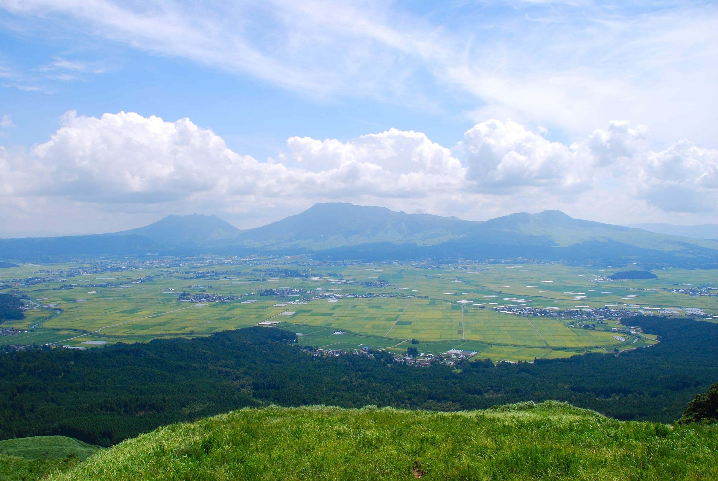
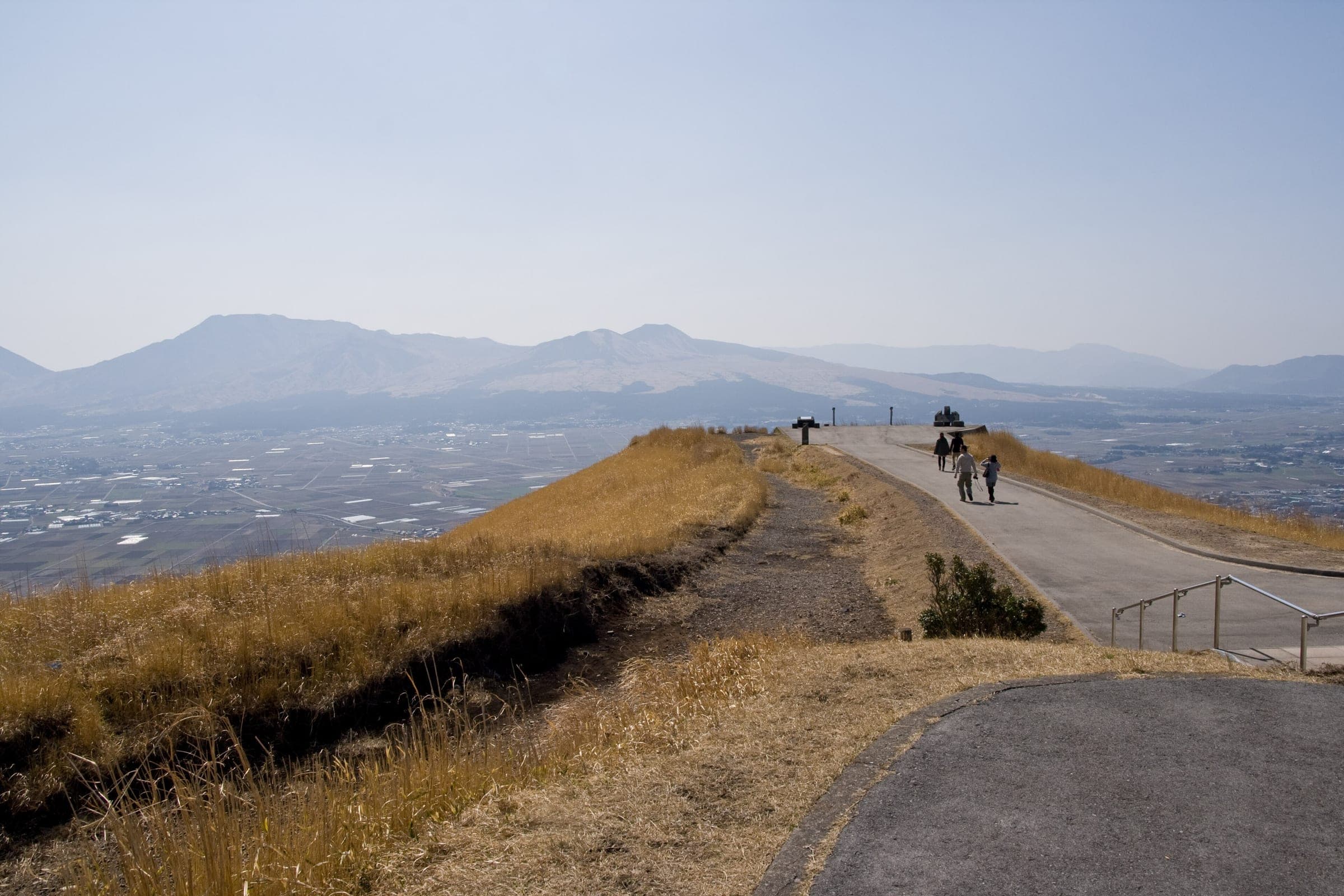
The lookout on the northern rim looks across the caldera to the five peaks.
Aso ShrineSight
The Yamanami Highway comes down into Ichinomiya beside the shrine.
Every stop OpenStreetMap lists along the line (7): konbini, cafés
- 7-ElevenKonbinikm 3.5
- FamilyMartKonbinikm 5.5
- FamilyMartKonbinikm 30.3
- Elephant coffeeCaféskm 30.8
- FamilyMartKonbinikm 32
- 7-ElevenKonbinikm 33.9
- LawsonKonbinikm 35.7
From OpenStreetMap, within each kind’s reach of the line. Opening hours change; check before you rely on one.
Ways off the route
AsoRail
The JR Hohi Line stops here at the start.
UchinomakiRail
The JR Hohi Line stops here.
MiyajiRail
The JR Hohi Line stops here below Aso Shrine.
AsoStation · km 0.1
九州旅客鉄道
MiyajiStation · km 32 · 302 m off the line
九州旅客鉄道
Ikoi no muraStation · km 34.1
九州旅客鉄道
Stations from OpenStreetMap within 2 km of the line. Check whether the line takes bikes before you plan to use it.
Aso's towns and villages formed the Aso Regional Cycle Tourism Promotion Council in March 2019 with the national transport and road bureaus, the police, JR Kyushu and Minamiaso Railway, and it publishes five cycling routes round the caldera. Route B climbs to the Daikanbo lookout on the northern rim.
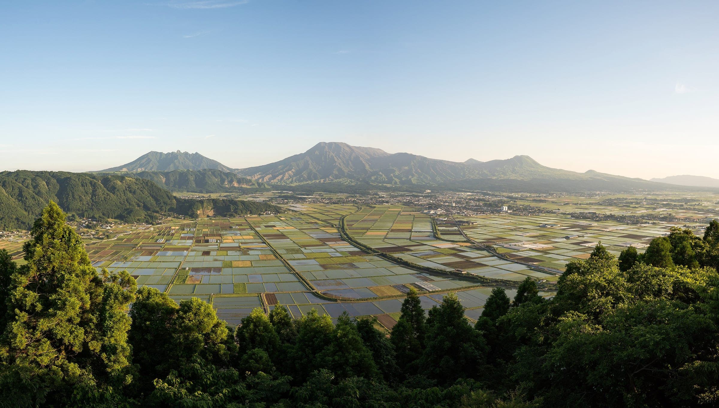
From the roadside station by JR Aso Station the route crosses the caldera floor to Uchinomaki Onsen and climbs Route 212 to the rim. After the Daikanbo spur it follows the Milk Road east along the rim, drops down the Yamanami Highway to Aso Shrine in Ichinomiya, and rolls back along the valley to the start.
The council has been giving bikes more of the road, adding route signs, opening up sight lines and smoothing steps in the road surface on its chosen routes. It has also been looking at trial runs of cycle trains on the local lines.
Worth knowing
- Ride the loop clockwise so the climb comes early and the long descent on the Yamanami Highway ends at Aso Shrine.
- Check JMA's Aso page on the morning of the ride; it posts the current alert level and the zone round the crater.
Quick answers about Aso Daikanbo and Milk Road Loopよくある質問
Is it safe to cycle at Aso while the volcano is at alert level 2?
Yes, on this route. JMA's level 2 warning since 1 September 2026 covers about 1 km round Nakadake's first crater, and the Aso Daikanbo and Milk Road loop stays on the northern rim and the caldera floor. Check JMA's page on the day.
What is the Milk Road at Aso?
The Milk Road is the road along Aso's northern outer rim past Daikanbo. Route B of Aso's official cycling network rides its eastern part between Daikanbo and the Yamanami Highway.
How long is the Aso Daikanbo and Milk Road Loop ride?
The Aso Daikanbo and Milk Road Loop ride is 35.9 km with 566 m of climbing by our route data, routed over OpenStreetMap and measured against Copernicus DEM GLO-30 30 m. The highest point is 906 m, and the steepest 200 m averages 11.3%.
Where can you buy food and water on the Aso Daikanbo and Milk Road Loop ride?
OpenStreetMap lists konbini at 6 points within reach of the Aso Daikanbo and Milk Road Loop line, and drinking water at none. The longest stretch without konbini is 24.8 km, so carry what you need for it.
Which way should you ride Aso Daikanbo and Milk Road Loop in April to May and October to November?
In April to May and October to November the most frequent wind at the nearest weather station blows from the south-west at about 2.1 m/s on average. By our calculation the Aso Daikanbo and Milk Road Loop ride finishes with less headwind against the direction we describe.
Within 8 km
Places to eat and drink nearby食

Within 8 km
Sights nearby見どころ
In the journal and guides
Read more about Aso Daikanbo and Milk Road Loop特集
Guide · 6 min read
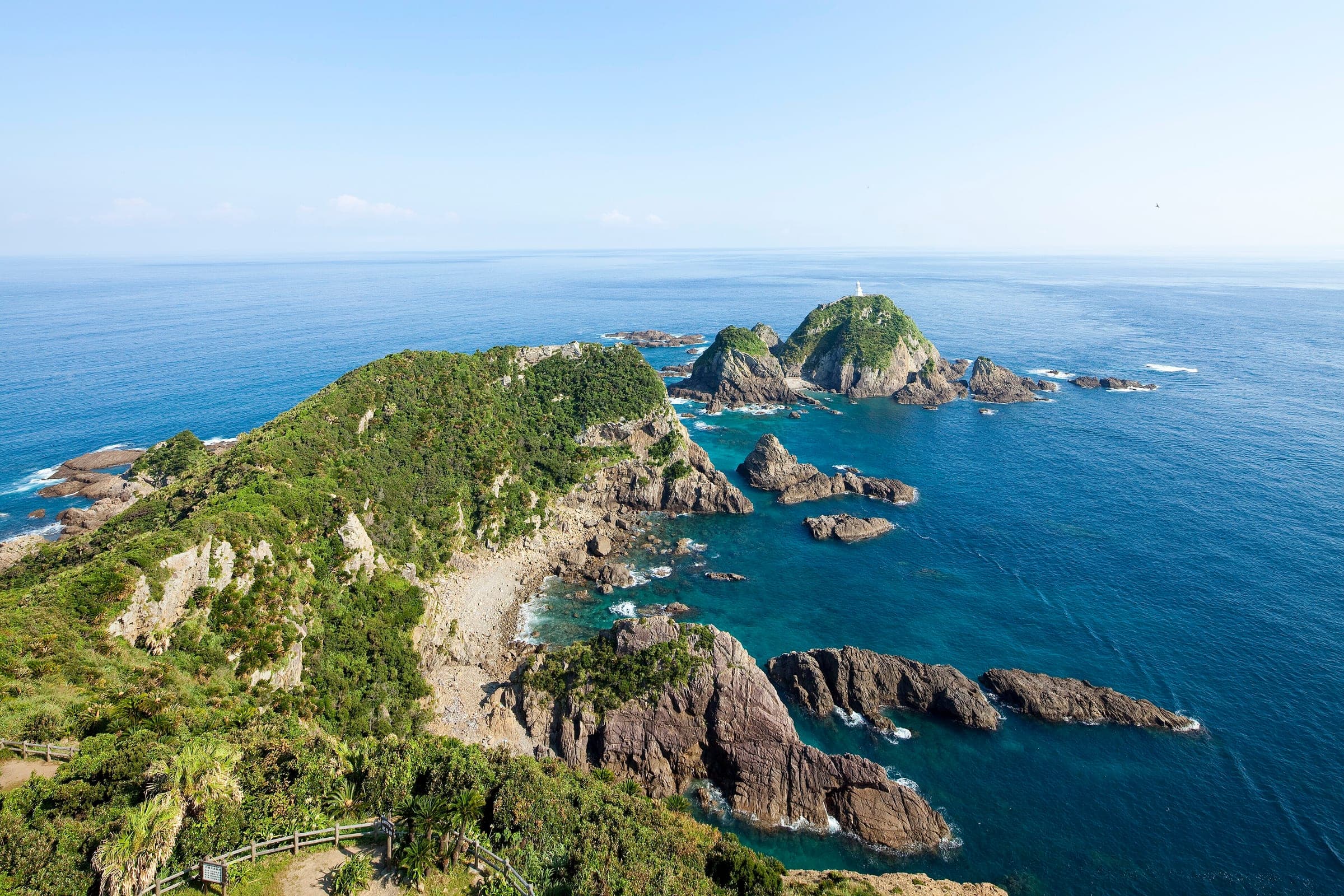
How do you cycle Japan end to end, from Cape Soya to Cape Sata?
Japan's National Cycle Routes stop well short of joining the northern and southern capes, so riders link them with ordinary roads. Ride Hokkaido covers the island, this guide picks you up at Aomori, and the season decides the direction.
Guide · 11 min read
How do you stay safe on a cycling trip in Japan?
Heat sends far more people to hospital than anything with teeth, so the heatstroke alert is the first thing to read on a summer morning. After that come hornets and bears on forest roads, dark tunnels, typhoons from August, and what to do when the ground shakes near the sea.