Toyama Bay Cycling Route
富山湾岸サイクリングコース36°58′ N 137°03′ E102.8 km · 176 m up · 62% quiet roadsModerateRoad bike, Touring
The Toyama Bay Cycling Route suits riders who want a flat day along the bay with the Tateyama range across the water, and the trade-off is that the full route runs one way from Himi to Asahi, so you will need the train to get back.
Photo by waa towaw on Unsplash and others, credited in the gallery
ModeratePoint to pointRoad bike, Touring, E-bike, City bike
KonbiniDrinking waterToiletsBike shopsTop of chart 100 m
Routed over OpenStreetMap with BRouter trekking and measured against Copernicus DEM GLO-30 30 m on 2026-10-12. 7.3 km crosses bridges or water, where the elevation is drawn straight across. 0.7 km runs through tunnels, drawn straight through the hill.
On the road
- Surface
- Sealed. The prefecture chose coastal roads with the best views and describes the gradients as slight.
- Start
- Himi, at the Ishikawa border. The route begins on the Toyama Bay shore north of Himi, where the Ishikawa Satoyama-Satoumi route comes in from Nanao.
- Finish
- Asahi, near the Niigata border. The route ends on the shore at the eastern edge of Asahi town.
- Getting there
- Hokuriku Shinkansen, Oversized baggage on the Shinkansen
Ride safely
- The official map adds a bad-weather route near Amaharashi for days when the shore road is unsafe.
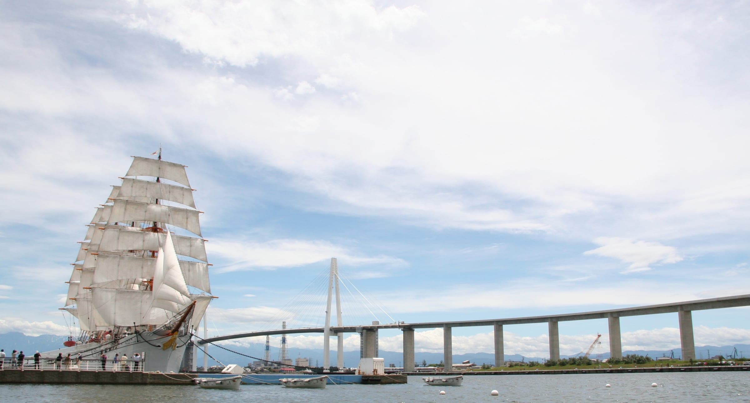
- When the walkway under the Shinminato Ohashi bridge is closed, the official map shows two detours round the harbour, and the free Koshinokata ferry carries bikes across the gap.
Wind at Hakuba, 1991-2020 normals
Which way to ride, month by month風
Jan
NNE 1.2
–
Feb
NNE 1.3
–
Mar
NNE 1.4
–
Apr
NNE 1.5
–
May
NNE 1.4
–
Jun
NNE 1
–
Jul
NNE 0.9
–
Aug
NNE 0.9
–
Sep
NNE 0.9
–
Oct
NNE 0.9
–
Nov
NNE 1
–
Dec
NNE 1.1
–
Arrows point the way the wind blows. Speeds are monthly means in m/s. The wind on any day can differ from the monthly pattern, so check the forecast.
Every stop OpenStreetMap lists along the line (21): konbini, bike rental, cafés, drinking water
- Daily YamazakiKonbinikm 10.6
- Bike rentalBike rentalkm 13.8
- Bike rentalBike rentalkm 21
- Amaharashi Bayside CafeCaféskm 22.1
- LawsonKonbinikm 34.4
- FamilyMartKonbinikm 37.1
- ミチツムギCaféskm 39
- FamilyMartKonbinikm 40.6
- 7-ElevenKonbinikm 41.6
- LawsonKonbinikm 42.5
- にしのみやCaféskm 44.2
- FamilyMartKonbinikm 45.8
- Bike rentalBike rentalkm 45.8
- ローソン水橋中村町Konbinikm 53
- アクアポケットDrinking waterkm 57.8
- FamilyMartKonbinikm 66.3
- Family MartKonbinikm 76.1
- 楽珍Konbinikm 78.4
- 喫茶こみちCaféskm 95
- 松田商店Konbinikm 95.7
- Yショップ境店Konbinikm 100.2
From OpenStreetMap, within each kind’s reach of the line. Opening hours change; check before you rely on one.
Ways off the route
HimiRail
JR Himi Line.
AmaharashiRail
JR Himi Line, by the Amaharashi coast.
NamerikawaRail
Ainokaze Toyama Railway. Cycle trains start here.
UozuRail
Ainokaze Toyama Railway.
KurobeRail
Ainokaze Toyama Railway. Cycle trains stop here.
NyuzenRail
Ainokaze Toyama Railway. Cycle trains stop here.
TomariRail
Ainokaze Toyama Railway, near the eastern end. Cycle trains stop here.
HimiStation · km 15.4 · 249 m off the line
ShimaoStation · km 18.4 · 285 m off the line
AmaharashiStation · km 21
Etchu-KokubunStation · km 22.9
FushikiStation · km 25.4
庄川口Station · km 27.9
第一イン新湊クロスベイ前Station · km 29.3 · 582 m off the line
新町口Station · km 29.7 · 490 m off the line
中新湊Station · km 30 · 766 m off the line
万葉線
東新湊Station · km 30.9 · 194 m off the line
海王丸Station · km 32 · 293 m off the line
越ノ潟Station · km 32.4
JogawaraStation · km 43.8 · 1.6 km off the line
富山地方鉄道
Inujima-ShimmachiStation · km 43.9 · 1.2 km off the line
富山地方鉄道
Higashi-ToyamaStation · km 44 · 2.0 km off the line
あいの風とやま鉄道
Hasumachi (Babakinenkōen-mae)Station · km 44 · 398 m off the line
富山地方鉄道
Hagiurashōgakkō-maeStation · km 44.3
富山地方鉄道
Higashi-IwaseStation · km 44.8
富山地方鉄道
KeirinjomaeStation · km 45.4 · 154 m off the line
富山地方鉄道
IwasehamaStation · km 46
MizuhashiStation · km 52.1 · 1.3 km off the line
あいの風とやま鉄道
Nishi-NamerikawaStation · km 55.5 · 765 m off the line
Nishi-KazumiStation · km 55.6 · 1.8 km off the line
Naka-NamerikawaStation · km 56 · 417 m off the line
NamerikawaStation · km 57.1 · 558 m off the line
富山地方鉄道
HamakazumiStation · km 59.4 · 995 m off the line
浜加積駅Station · km 59.4 · 1.0 km off the line
HayatsukikazumiStation · km 60.7 · 998 m off the line
Higashi-NamerikawaStation · km 61.7 · 859 m off the line
あいの風とやま鉄道
Etchu-NakamuraStation · km 62.8 · 651 m off the line
Nishi-UozuStation · km 64.3 · 314 m off the line
Dentetsu-UozuStation · km 65.3 · 564 m off the line
Shin-UozuStation · km 67.1 · 792 m off the line
UozuStation · km 67.1 · 832 m off the line
あいの風とやま鉄道
KyodenStation · km 69.9 · 409 m off the line
Dentetsu-IshidaStation · km 73.2 · 548 m off the line
KurobeStation · km 73.7 · 1.4 km off the line
あいの風とやま鉄道
IkujiStation · km 77.6
あいの風とやま鉄道
Nishi-NyuzenStation · km 84.4 · 788 m off the line
あいの風とやま鉄道
NyuzenStation · km 88.5 · 1.5 km off the line
あいの風とやま鉄道
TomariStation · km 94.9 · 671 m off the line
Etchu-MiyazakiStation · km 99.6
あいの風とやま鉄道
IchiburiStation · km 102.8 · 1.5 km off the line
Stations from OpenStreetMap within 2 km of the line. Check whether the line takes bikes before you plan to use it.
Tunnels
The line runs through 4 tunnels, 0.7 km in all; the longest is 350 m.
Days with lunch and dinner booked in
Ride days built on this route一日
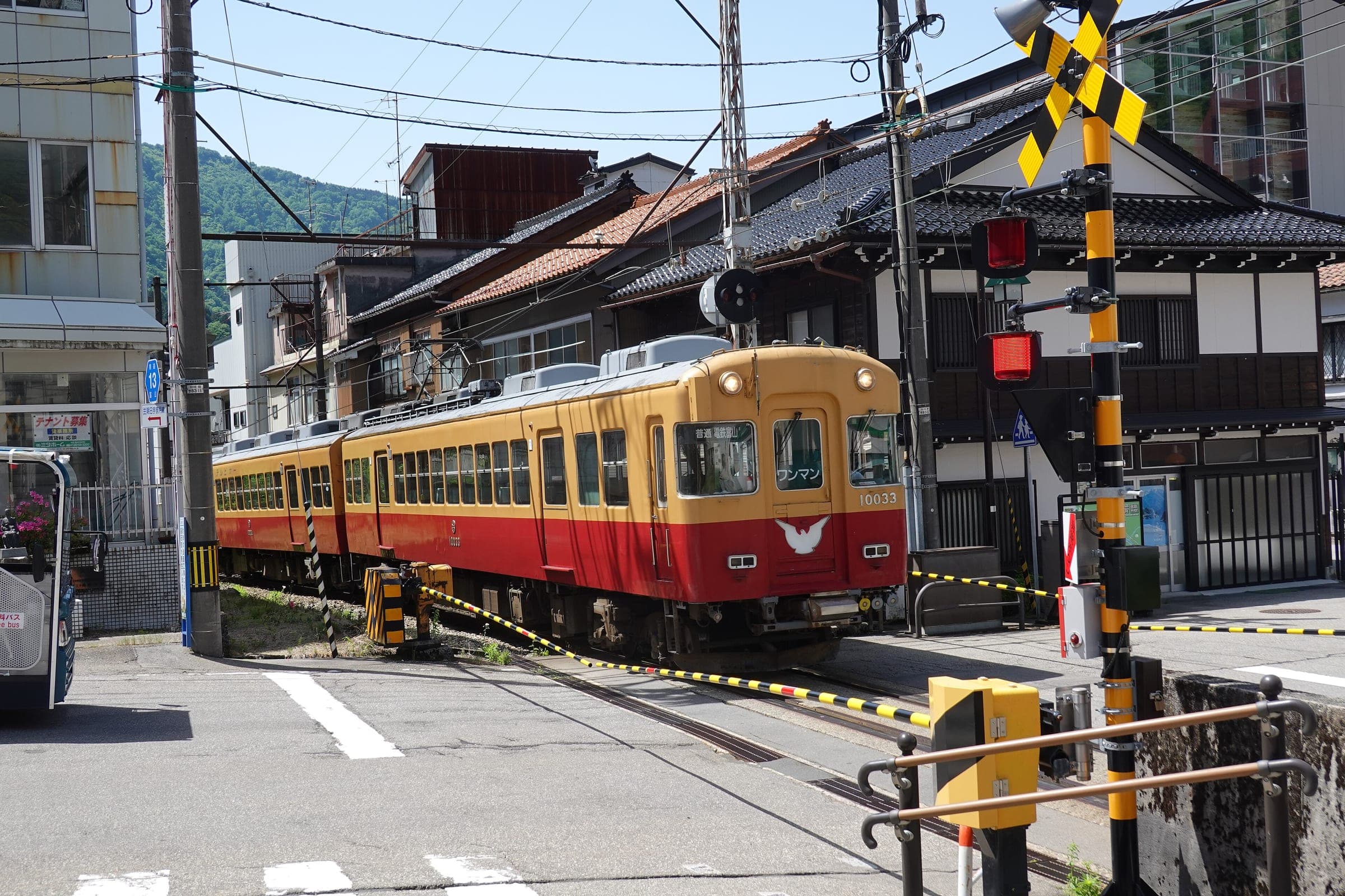
Toyama Bay belongs to the Most Beautiful Bays in the World Club, and the prefecture laid this route along its shore on the roads with the best views. The official site says the gentle gradients suit riders of every age.
The view everyone comes for is the Tateyama range rising behind the sea, which you see best from the Himi and Amaharashi end on a clear morning. At Shinminato the route crosses the harbour mouth under the Shinminato Ohashi bridge, and the free Koshinokata ferry takes bikes over the same gap when you want to see the bridge from the water.
East of Toyama the route runs past the Uozu mirage coast and Kurobe toward Nyuzen and Asahi. Stop for Toyama Bay sushi, which the prefecture makes only with local fish landed in season.
Worth knowing
- Ainokaze Toyama Railway runs a cycle train that needs no booking, picking up at Toyama, Higashi-Toyama and Namerikawa and setting down at Kurobe, Nyuzen and Tomari. Check its operating days first.
- Toyama Chiho Railway carries bikes on its trains at weekends, on public holidays and over the New Year break.
- Cycle taxis that carry a bike inside work out of Takaoka, Imizu, Uozu and Kurobe if a mechanical ends your day.
Quick answers about Toyama Bay Cycling Routeよくある質問
Can you take a bike on the train along Toyama Bay?
Yes. Ainokaze Toyama Railway's cycle train needs no booking and runs from Toyama, Higashi-Toyama and Namerikawa to Kurobe, Nyuzen and Tomari on its operating days.
How do cyclists cross Shinminato harbour on the Toyama Bay Cycling Route?
Under the Shinminato Ohashi bridge on its walkway, or on the free Koshinokata ferry, which carries bikes between Koshinokata and Horioka.
Is the Toyama Bay Cycling Route flat?
Yes. Toyama Prefecture describes the route's gradients as slight, and it says riders of every age can enjoy it.
How long is the Toyama Bay Cycling Route ride?
The Toyama Bay Cycling Route ride is 102.8 km with 176 m of climbing by our route data, routed over OpenStreetMap and measured against Copernicus DEM GLO-30 30 m. The highest point is 47 m, and the steepest 200 m averages 9.8%.
Where can you buy food and water on the Toyama Bay Cycling Route ride?
OpenStreetMap lists konbini at 13 points within reach of the Toyama Bay Cycling Route line, and drinking water at one. The longest stretch without konbini is 23.8 km, so carry what you need for it.
Which way should you ride Toyama Bay Cycling Route in April to May and October to November?
In April to May and October to November the most frequent wind at the nearest weather station blows from the north-north-east at about 1.2 m/s on average. By our calculation the Toyama Bay Cycling Route ride finishes with less headwind either way.
In the journal and guides
Read more about Toyama Bay Cycling Route特集
Guide · 6 min read
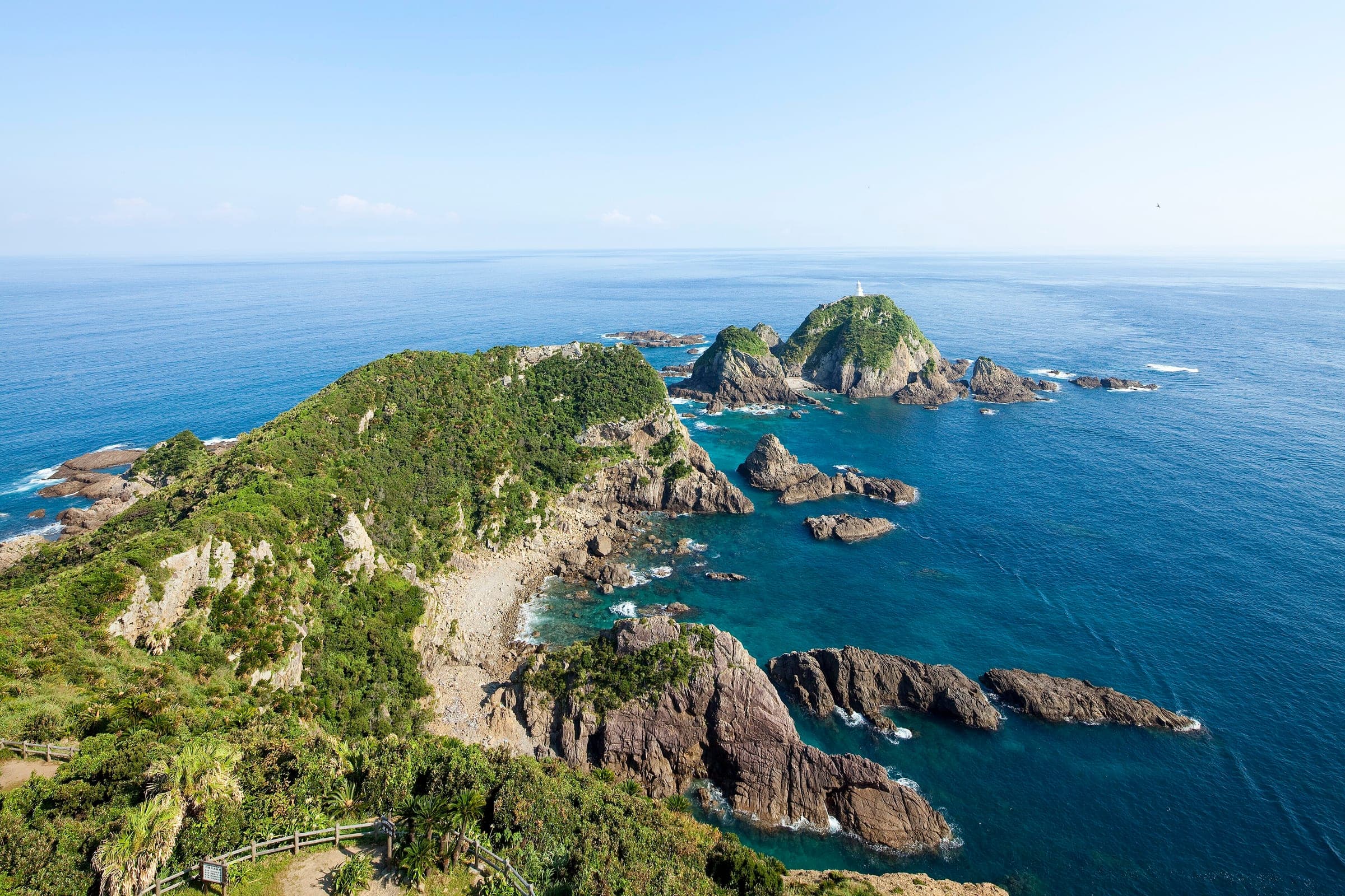
How do you cycle Japan end to end, from Cape Soya to Cape Sata?
Japan's National Cycle Routes stop well short of joining the northern and southern capes, so riders link them with ordinary roads. Ride Hokkaido covers the island, this guide picks you up at Aomori, and the season decides the direction.
Guide · 11 min read
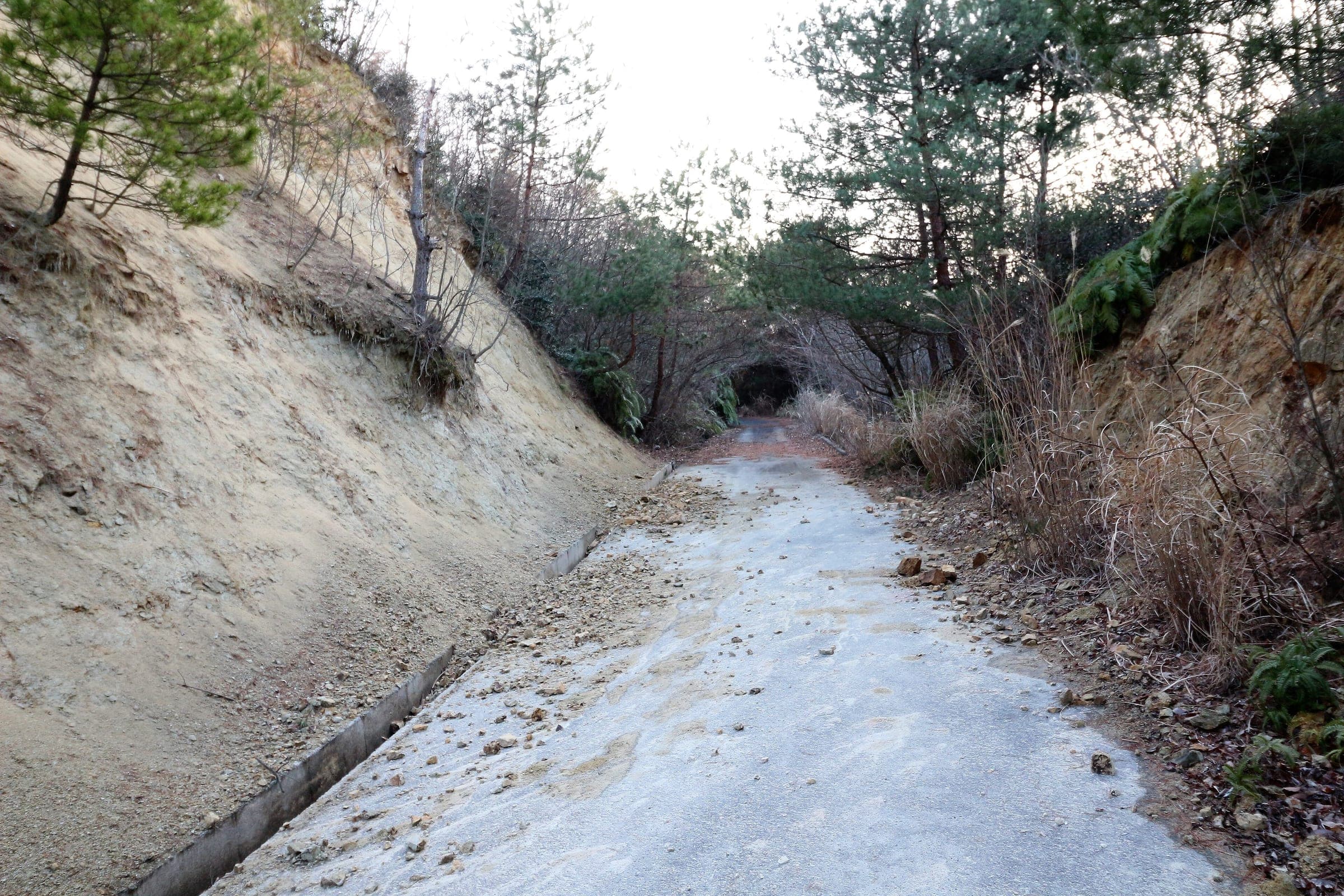
How do you stay safe on a cycling trip in Japan?
Heat sends far more people to hospital than anything with teeth, so the heatstroke alert is the first thing to read on a summer morning. After that come hornets and bears on forest roads, dark tunnels, typhoons from August, and what to do when the ground shakes near the sea.