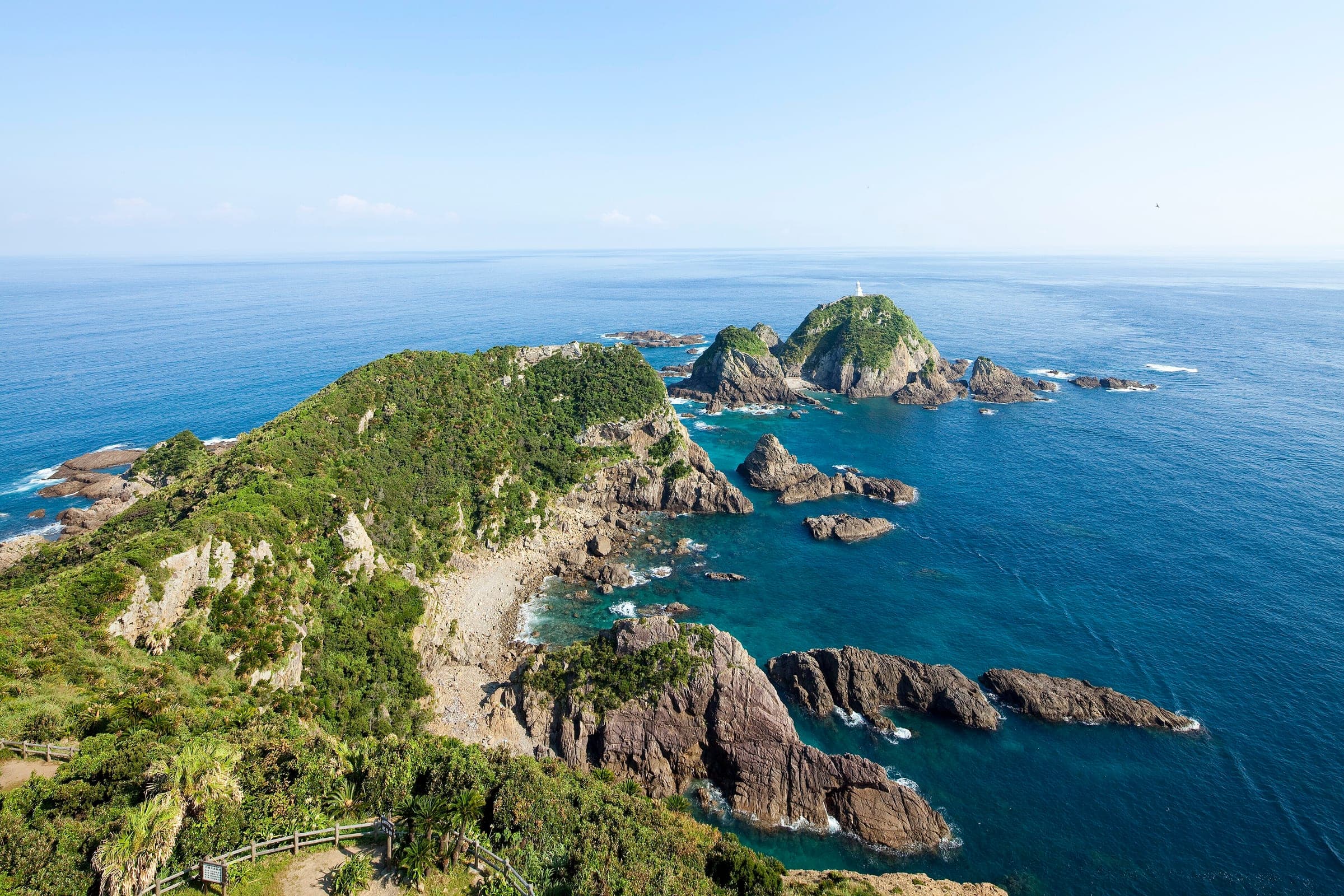
Ama-Ichi
あまいち32°36′ N 130°28′ E148 km · 1,377 m up · 28% quiet roadsHardRoad bike, Touring
Ama-Ichi suits riders who want to cross the Amakusa islands from Misumi to Ushibuka over the Amakusa Five Bridges and past the World Heritage sites at Misumi West Port and Sakitsu, and the trade-off is a run of narrow bridges between the second and fifth crossings.
Road closure
Kumamoto is rebuilding after the 28 July 2026 earthquake, and most roads and lines are open
An M7.1 earthquake struck the Kumamoto region on 28 July 2026, and Uki and Yatsushiro took the worst of it. The Kyushu Shinkansen fully reopened on 18 September and JR's Kagoshima line between Uto and Yatsushiro on 10 October. The Minami-Kyushu Expressway stays closed between Yatsushiro JCT and Yatsushiro-minami IC while its bridges are repaired, and aftershocks continue. Aso and Amakusa are open to visitors, and their towns ask travellers to come.
Checked 2026-10-11 · bousai.go.jp
Photo 690 Noda · Wikimedia Commons · CC BY 3.0 and others, credited in the gallery
HardPoint to pointRoad bike, Touring, E-bike
KonbiniDrinking waterToiletsBike shopsTop of chart 200 m
Routed over OpenStreetMap with BRouter fastbike-asia-pacific and measured against Copernicus DEM GLO-30 30 m on 2026-10-12. 7.6 km crosses bridges or water, where the elevation is drawn straight across. 3.2 km runs through tunnels, drawn straight through the hill.
On the road
- Surface
- Sealed. MLIT's review found no unpaved sections.
- Traffic
- The course runs on roads shared with cars across the islands, including the Amakusa Five Bridges, where MLIT's reviewers noted that drivers looking at the view can miss cyclists.
- Start
- JR Misumi Station. Kumamoto Prefecture's official course starts at the station in Uki.
- Finish
- Ushibuka Port. The course ends at the port in the far south of Amakusa, where boats cross toward Kagoshima.
- Getting there
- Kyushu Shinkansen, Oversized baggage on the Shinkansen
Ride safely
- Bridges 2 to 5 of the Amakusa Five Bridges have narrow sections one after another. Kumamoto is putting up signs to warn drivers, and a cruise boat that takes bikes runs past that stretch if you would rather skip it.
- MLIT's review found two narrow tunnels on the course without warning signs on site, which Kumamoto plans to add.
- Buses and boats in Amakusa accept bikes packed in a rinko bag, and rules for unbagged bikes vary from one boat operator to the next.
Wind at Aso-Otohime, 1991-2020 normals
Which way to ride, month by month風
Jan
SW 2.1
–
Feb
SW 2.2
–
Mar
SW 2.4
–
Apr
SW 2.4
–
May
SW 2.3
–
Jun
SW 2.5
–
Jul
SW 2.6
–
Aug
SW 2.2
–
Sep
ENE 1.9
–
Oct
ENE 1.9
–
Nov
SW 1.7
–
Dec
SW 1.9
–
Arrows point the way the wind blows. Speeds are monthly means in m/s. The wind on any day can differ from the monthly pattern, so check the forecast.
Every stop OpenStreetMap lists along the line (21): cafés, konbini
- カフェ天城鐵道Caféskm 0.2
- KonbiniKonbinikm 0.8
- FamilyMartKonbinikm 7.1
- 7-ElevenKonbinikm 7.9
- FamilyMartKonbinikm 9
- LawsonKonbinikm 12.2
- 7-ElevenKonbinikm 12.5
- café kahnya カーニャCaféskm 14
- Beach Hut AmakusaCaféskm 17.1
- FamilyMartKonbinikm 17.2
- LawsonKonbinikm 18.9
- FamilyMartKonbinikm 41.8
- Daily YamazakiKonbinikm 44.5
- Daily YamazakiKonbinikm 48
- FamilyMartKonbinikm 50.3
- セブン-イレブン 天草本渡広瀬店Konbinikm 50.8
- NO BORDERCaféskm 52.6
- LawsonKonbinikm 54.1
- いけださかやKonbinikm 61.7
- Daily YamazakiKonbinikm 67.8
- Daily YamazakiKonbinikm 127.1
From OpenStreetMap, within each kind’s reach of the line. Opening hours change; check before you rely on one.
Ways off the route
MisumiRail
JR Misumi Line. The islands have no railway, so buses and boats carry bikes packed in a rinko bag.
HatauraStation · km 0 · 2.0 km off the line
九州旅客鉄道
MisumiStation · km 0
九州旅客鉄道
Stations from OpenStreetMap within 2 km of the line. Check whether the line takes bikes before you plan to use it.
Tunnels
The line runs through 14 tunnels, 3.1 km in all; the longest is 775 m.
Kumamoto Prefecture's course leaves JR Misumi Station and crosses the Amakusa Five Bridges to Oyano and Kamishima. It then reaches Shimoshima, swings up to Reihoku and Tomioka on the north coast, and runs down the west coast through Sakitsu to Ushibuka Port at the southern tip.
The name folds together the hope that the Amakusa towns pull as one and the idea of riding right across the islands to find your own favourite spot. The prefecture sets it up so you can take on the whole course or ride it one area at a time.
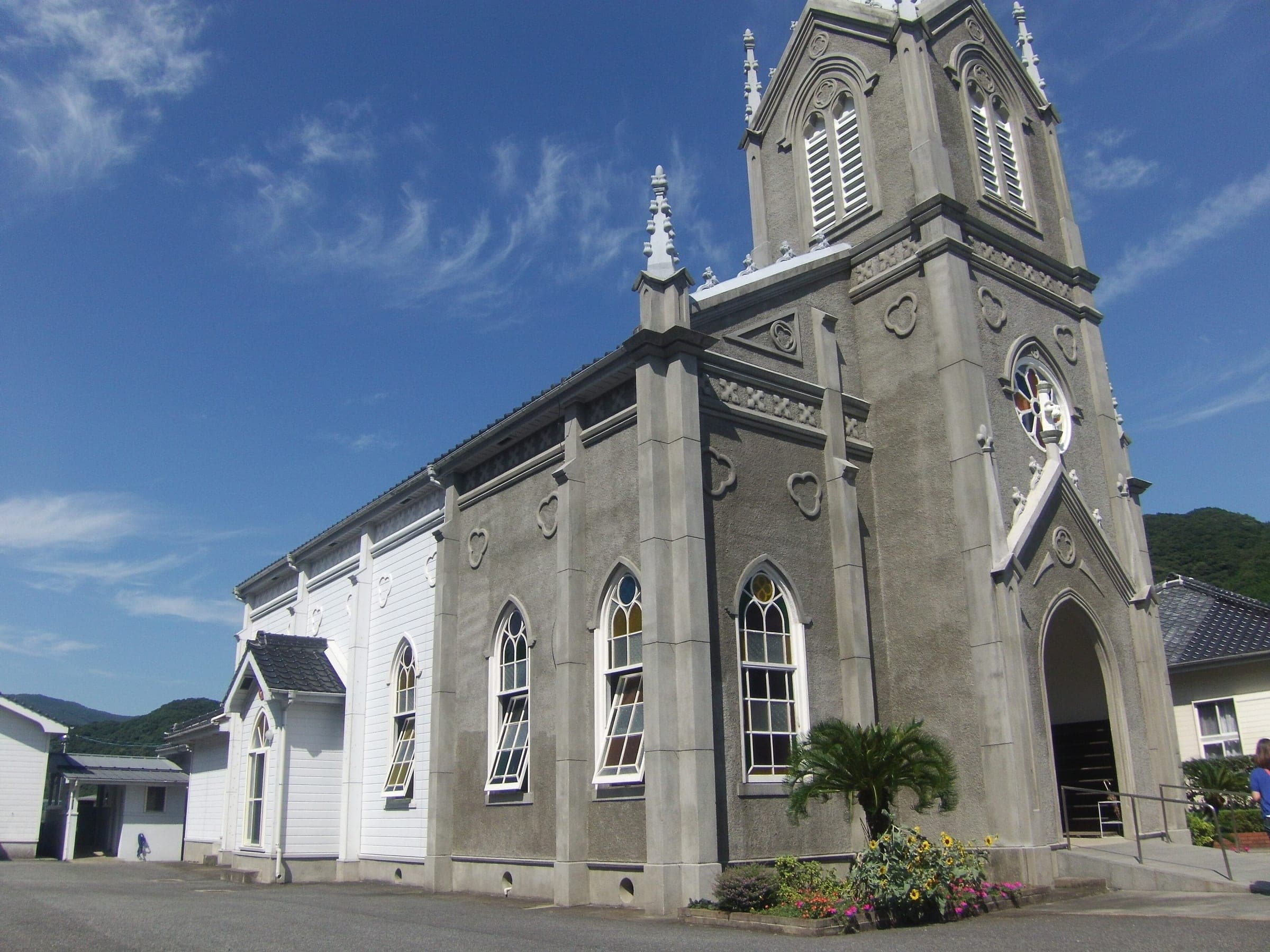
Misumi West Port belongs to the Sites of Japan's Meiji Industrial Revolution, and the fishing village of Sakitsu belongs to the Hidden Christian Sites in the Nagasaki Region. Both are on the World Heritage list. In between, the route takes in hot springs and seafront cafés.
Mio Camino Amakusa in Hondo serves as the route's gateway, and ferries and passenger boats link Amakusa with Nagasaki and Kagoshima for riders who want to keep going.
Worth knowing
- Pack a rinko bag. It is the one way to be sure a bus or boat will take your bike in Amakusa.
- Kumamoto publishes the course on Ride with GPS, and the line on this page follows it.
Quick answers about Ama-Ichiよくある質問
Can you cycle across the Amakusa Five Bridges?
Yes. Ama-Ichi uses the Amakusa Five Bridges, though bridges 2 to 5 have narrow sections in a row, and a cruise boat that carries bikes offers a way round them.
Where does Ama-Ichi start and finish?
Ama-Ichi starts at JR Misumi Station in Uki and finishes at Ushibuka Port in Amakusa, following Kumamoto Prefecture's official course.
Can you take a bike on buses and boats in Amakusa?
Yes, in a rinko bag. MLIT's review notes that buses and boats accept bagged bikes, and each boat operator sets its own rules for bikes that aren't bagged.
How long is the Ama-Ichi ride?
The Ama-Ichi ride is 148 km with 1,377 m of climbing by our route data, routed over OpenStreetMap and measured against Copernicus DEM GLO-30 30 m. The highest point is 163 m, and the steepest 200 m averages 12.9%.
Where can you buy food and water on the Ama-Ichi ride?
OpenStreetMap lists konbini at 17 points within reach of the Ama-Ichi line, and drinking water at none. The longest stretch without konbini is 59.3 km, so carry what you need for it.
Which way should you ride Ama-Ichi in April to May and October to November?
In April to May and October to November the most frequent wind at the nearest weather station blows from the south-west at about 2.1 m/s on average. By our calculation the Ama-Ichi ride finishes with less headwind either way.
In the journal and guides