Biwaichi
ビワイチ34°58′ N 135°54′ E186.5 km · 396 m up · 50% quiet roadsHardRoad bike, Touring
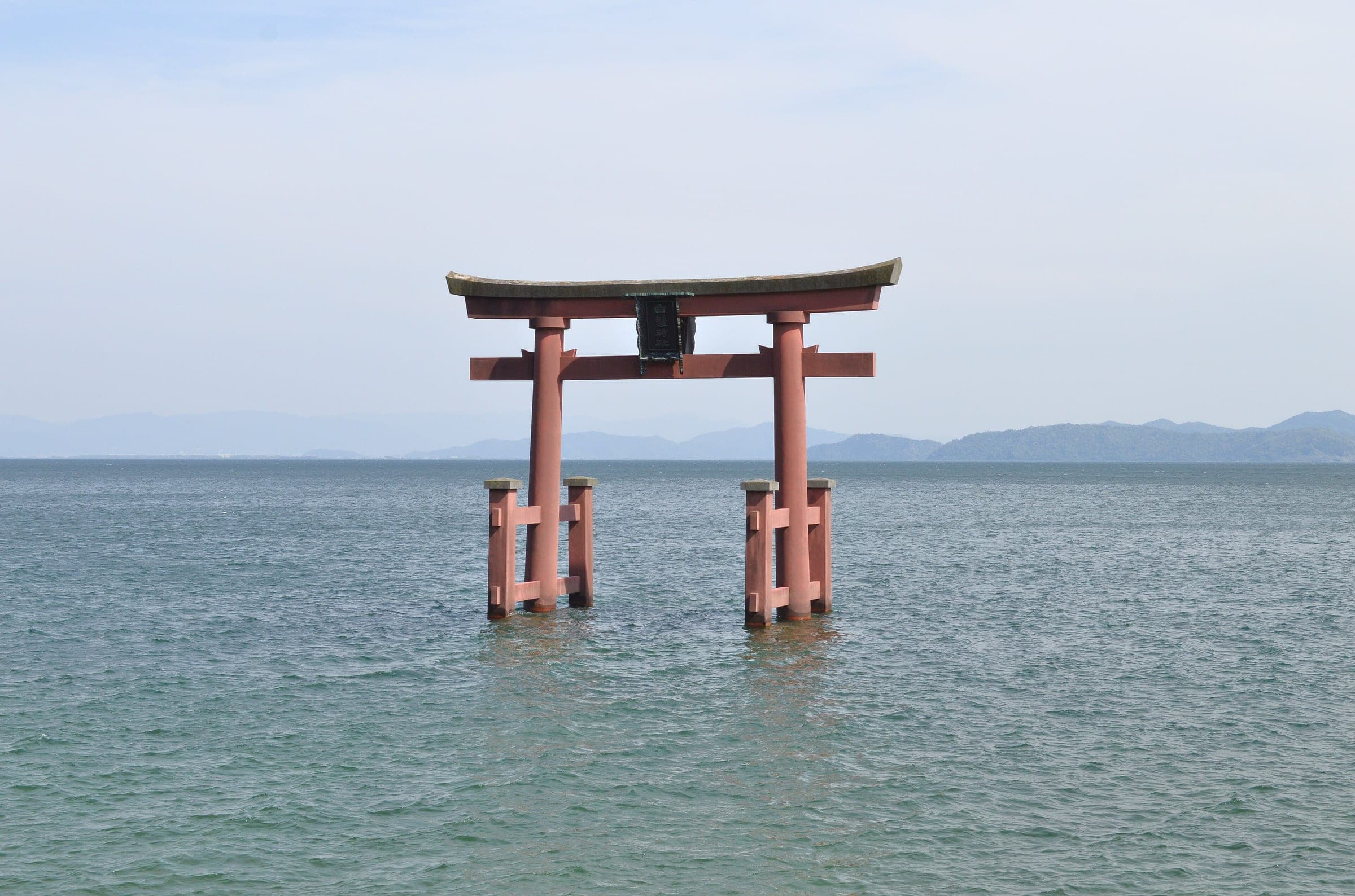
Biwaichi suits riders who want a mostly flat lap of Lake Biwa over two or three days with the water on their left the whole way round, and its trade-off is the busy road on the west shore between Takashima and Kita-Komatsu and again from Katata into Otsu.
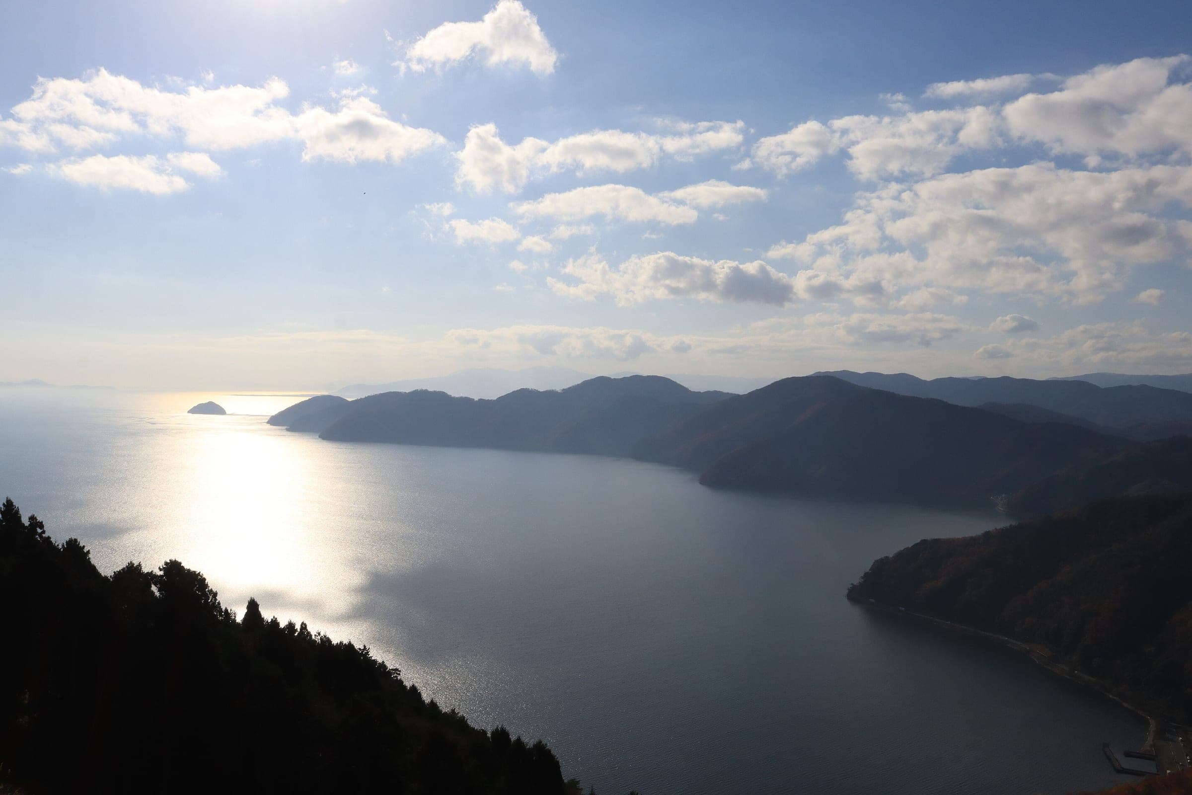
Photo by Brian Covert on Unsplash and others, credited in the gallery
HardLoopRoad bike, Touring, E-bike, City bike
KonbiniDrinking waterToiletsBike shopsTop of chart 200 m
Routed over OpenStreetMap with BRouter trekking and measured against Copernicus DEM GLO-30 30 m on 2026-10-12. The waypoints run counter-clockwise. 11.4 km crosses bridges or water, where the elevation is drawn straight across. 3 km runs through tunnels, drawn straight through the hill.
On the road
- Surface
- Sealed. Shared paths for bikes and walkers line much of the east shore, and the advanced course this page follows otherwise runs on the road.
- Traffic
- Shiga warns of heavy traffic on the national road between Takashima and Kita-Komatsu, and again between Katata and Otsu Port, where the road has no cycle path. Between Kita-Komatsu and Katata the course threads quiet back roads.
- Start
- Seta no Karahashi bridge, Otsu. Shiga counts the full lap as far south as the Seta no Karahashi bridge. You can join the loop anywhere, and Otsu, Moriyama and Maibara all have rental bikes.
- Getting there
- Tokaido Shinkansen, Oversized baggage on the Shinkansen, Takkyubin for boards and bikes
- Best months
- Shiga names spring into early summer, May above all, and autumn as the best seasons for temperature, weather and wind.
- In summer
- Many people try the lap in the summer holidays, and Shiga warns that long hours in strong sun carry a high risk of heatstroke.
- In winter
- Snow settles on the north shore in winter, and the prefecture says that makes riding there difficult. Plan to finish by 17:00 from October to April, when the sun sets early.
Ride safely
- Give walkers priority on the shared paths along the east shore.
- Keep off the road after dark. Shiga says riders in unfamiliar country take wrong turns and push too hard when night falls before they reach their stop.
- The optional Okubiwako Parkway runs one way for bikes too, from the lookout down to the Tsukide gate, and it opens from 8:00 to 20:00.
- When the road at Kaizu-Osaki closes, Shiga's web map shows a signed detour inland.
Wind at Hikone, 1991-2020 normals
Which way to ride, month by month風
Jan
NW 3.7
Either way
Feb
NW 4
Either way
Mar
NW 3.3
Either way
Apr
NW 2.8
Either way
May
NW 2.5
Either way
Jun
NW 2.4
Either way
Jul
NW 2.5
Either way
Aug
NW 2.5
Either way
Sep
NW 2.9
Either way
Oct
NW 3.1
Either way
Nov
NW 2.9
Either way
Dec
SSE 3.7
Either way
Arrows point the way the wind blows. Speeds are monthly means in m/s. The wind on any day can differ from the monthly pattern, so check the forecast.
Where to stop
Stops along the way寄り道
OtsuTown
MoriyamaTown
Pieri Moriyama and Misaki Park open free parking for Biwaichi riders at the east end of the Biwako Ohashi bridge.
OmihachimanTown
HikoneTown
MaibaraTown
NagahamaTown
TakashimaTown
Metasequoia Avenue Autumn ColourSight
The Metasequoia avenue near Makino sits on one of the official optional courses inland from the lake.
Every stop OpenStreetMap lists along the line (79): bike rental, cafés, konbini, bike shops, drinking water
- Road BIke Rental Japan (Lake Biwa)Bike rentalkm 0
- Cafe & Gallery SpoonsCaféskm 0.2
- Komeda's CoffeeCaféskm 0.8
- Hair Cafe しふぉんCaféskm 19.5
- LawsonKonbinikm 19.6
- 7-ElevenKonbinikm 19.6
- Giant BicyclesBike shopskm 21.3
- ローソン 野洲菖蒲店Konbinikm 27.7
- ローソンKonbinikm 37.9
- FamilyMartKonbinikm 42.3
- KonbiniKonbinikm 44.3
- LawsonKonbinikm 46.5
- カフェレストラン フォトCaféskm 56.4
- 7-ElevenKonbinikm 56.5
- StarbucksCaféskm 59.2
- FamilyMartKonbinikm 60.7
- Everyone's CafeCaféskm 64.7
- カフェ・ド・フランスCaféskm 69.3
- 7-ElevenKonbinikm 69.4
- Bike rentalBike rentalkm 72.5
- 7-ElevenKonbinikm 72.6
- LawsonKonbinikm 98.1
- 7-ElevenKonbinikm 113.2
- FamilyMartKonbinikm 115.2
- セブンイレブンKonbinikm 121.9
- セブン-イレブンKonbinikm 123.3
- パロマCaféskm 123.3
- 一番星Caféskm 123.4
- ワニカフェCaféskm 140.2
- 白湖Caféskm 140.3
- Drinking waterDrinking waterkm 140.4
- LawsonKonbinikm 140.4
- JR近江高島駅構内 観光案内所Bike rentalkm 140.4
- 7-ElevenKonbinikm 143.5
- 7-ElevenKonbinikm 147.8
- Drinking waterDrinking waterkm 153.2
- つばめのキッチンCaféskm 158.8
- ファインCaféskm 163.3
- 自転車処どてるしBike shopskm 163.4
- FamilyMartKonbinikm 163.7
- Hoshino CoffeeCaféskm 163.8
- 7-ElevenKonbinikm 164.8
- StarbucksCaféskm 165.3
- 自転車チャンピオン 堅田店Bike shopskm 165.6
- スティック・スイーツ・ファクトリーCaféskm 165.7
- 7-ElevenKonbinikm 166.2
- Komeda's CoffeeCaféskm 166.2
- 珈琲や たなかCaféskm 166.3
- サイクルドクター そりまちBike shopskm 166.3
- カラオケ喫茶 華Caféskm 166.6
- 7-ElevenKonbinikm 168.6
- FamilyMartKonbinikm 169.5
- カラオケ喫茶 来夢Caféskm 169.8
- LawsonKonbinikm 170
- 7-ElevenKonbinikm 170.9
- 7-ElevenKonbinikm 172.1
- カラオケ喫茶 京てまりCaféskm 174.6
- Grand PlaceCaféskm 174.6
- FamilyMartKonbinikm 174.7
- 若林自転車商会Bike shopskm 174.9
- MinistopKonbinikm 174.9
- カラオケ喫茶 ミドルCaféskm 175.4
- LawsonKonbinikm 175.6
- StarbucksCaféskm 177.2
- FamilyMartKonbinikm 177.7
- 7-ElevenKonbinikm 177.8
- Cycle Base AsahiBike shopskm 177.8
- 自転車チャンピオンBike shopskm 178
- Parole CafeCaféskm 178
- 石塚自転車商会Bike shopskm 179
- LawsonKonbinikm 179.2
- ofoBike rentalkm 179.7
- LawsonKonbinikm 180.3
- CafésCaféskm 180.7
- 7-ElevenKonbinikm 183
- Drinking waterDrinking waterkm 183.6
- Drinking waterDrinking waterkm 183.6
- FamilyMartKonbinikm 184.3
- Road BIke Rental Japan (Lake Biwa)Bike rentalkm 186.4
From OpenStreetMap, within each kind’s reach of the line. Opening hours change; check before you rely on one.
Ways off the route
IshiyamaRail
JR Biwako Line, near the southern end of the lap at Seta.
HikoneRail
JR Biwako Line.
MaibaraRail
JR Biwako Line and the Tokaido Shinkansen. Ohmi Railway's cycle train also starts here.
NagahamaRail
JR Hokuriku Line.
Omi-ShiotsuRail
JR Hokuriku and Kosei lines, at the top of the lake.
MakinoRail
JR Kosei Line.
Omi-TakashimaRail
JR Kosei Line.
Omi-MaikoRail
JR Kosei Line.
KatataRail
JR Kosei Line, near the west end of the Biwako Ohashi bridge.
IshiyamaderaStation · km 0 · 686 m off the line
京阪電気鉄道
SetaStation · km 2 · 1.5 km off the line
西日本旅客鉄道
HikoneStation · km 59.7 · 1.8 km off the line
SakataStation · km 67.7 · 1.2 km off the line
西日本旅客鉄道
TamuraStation · km 69.6 · 313 m off the line
NagahamaStation · km 72.5
西日本旅客鉄道
KinomotoStation · km 91.9 · 1.5 km off the line
NagaharaStation · km 103.7
MakinoStation · km 115 · 321 m off the line
Ōmi-NakashōStation · km 118 · 550 m off the line
西日本旅客鉄道
Ōmi-ImazuStation · km 123.3
西日本旅客鉄道
Shin-AsahiStation · km 127.6 · 2.0 km off the line
Omi-TakashimaStation · km 140.4 · 187 m off the line
Kita-KomatsuStation · km 147.5
Ōmi-MaikoStation · km 150
HiraStation · km 152.6
西日本旅客鉄道
ShigaStation · km 155.7
西日本旅客鉄道
HōraiStation · km 158.1
西日本旅客鉄道
WaniStation · km 160.6 · 195 m off the line
西日本旅客鉄道
OnoStation · km 163.3
KatataStation · km 165.6 · 203 m off the line
OgotoonsenStation · km 168.8 · 582 m off the line
西日本旅客鉄道
Hieizan-SakamotoStation · km 172.4 · 581 m off the line
Sakamoto-hieizanguchiStation · km 172.7 · 1.1 km off the line
京阪電気鉄道
Cable SakamotoStation · km 173.1 · 1.6 km off the line
京福電気鉄道
MatsunobambaStation · km 173.2 · 896 m off the line
京阪電気鉄道
HōraiokaStation · km 173.2 · 1.8 km off the line
AnooStation · km 174.3 · 922 m off the line
京阪電気鉄道
KarasakiStation · km 174.7 · 584 m off the line
ShigasatoStation · km 176 · 730 m off the line
京阪電気鉄道
Minami-shigaStation · km 176.4 · 700 m off the line
京阪電気鉄道
Omi-jingu-maeStation · km 177.9 · 698 m off the line
京阪電気鉄道
OtsukyoStation · km 177.9 · 409 m off the line
西日本旅客鉄道
Keihan-otsukyoStation · km 178.1 · 553 m off the line
京阪電気鉄道
Otsu-shiyakusho-maeStation · km 178.6 · 501 m off the line
京阪電気鉄道
MiideraStation · km 179.1 · 169 m off the line
京阪電気鉄道
KamisakaemachiStation · km 179.2 · 841 m off the line
京阪電気鉄道
Biwako-hamaotsuStation · km 179.6 · 157 m off the line
京阪電気鉄道
ŌtsuStation · km 180 · 882 m off the line
西日本旅客鉄道
ShimanosekiStation · km 180.3 · 158 m off the line
京阪電気鉄道
IshibaStation · km 180.8 · 201 m off the line
京阪電気鉄道
ZezeStation · km 181.4 · 810 m off the line
Keihan-zezeStation · km 181.4 · 760 m off the line
京阪電気鉄道
NishikiStation · km 182.8 · 626 m off the line
京阪電気鉄道
Zeze-hommachiStation · km 183.6 · 450 m off the line
京阪電気鉄道
NakanoshoStation · km 183.9 · 322 m off the line
京阪電気鉄道
KawaragahamaStation · km 184.3 · 253 m off the line
京阪電気鉄道
AwazuStation · km 184.6 · 359 m off the line
京阪電気鉄道
IshiyamaStation · km 185.6 · 377 m off the line
Keihan-ishiyamaStation · km 185.6 · 444 m off the line
京阪電気鉄道
KarahashimaeStation · km 186.4 · 169 m off the line
京阪電気鉄道
Stations from OpenStreetMap within 2 km of the line. Check whether the line takes bikes before you plan to use it.
Tunnels
The line runs through 16 tunnels, 3.0 km in all; the longest is 875 m.
Days with lunch and dinner booked in
Ride days built on this route一日
Rental near the start
Rent a bike for itレンタル
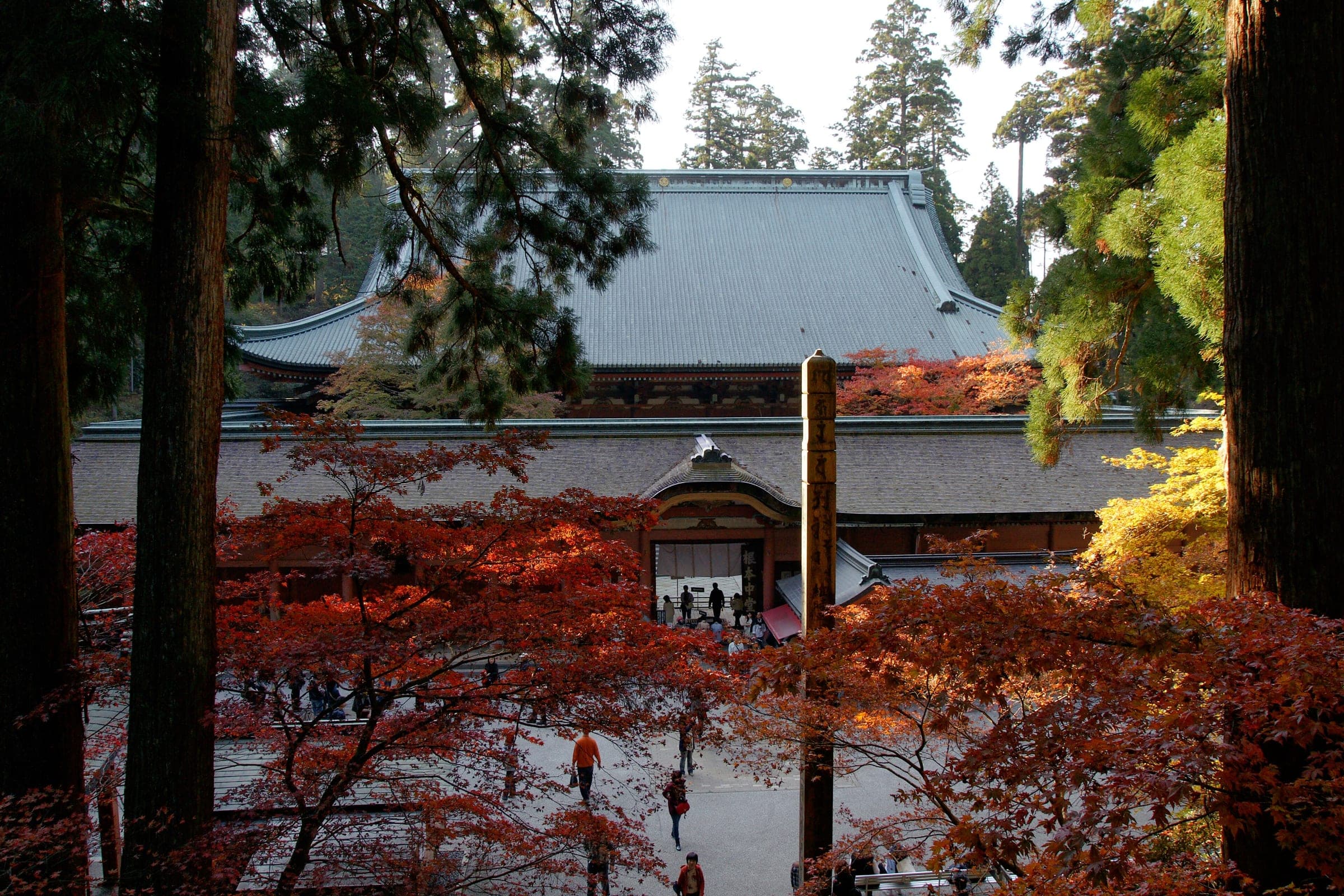
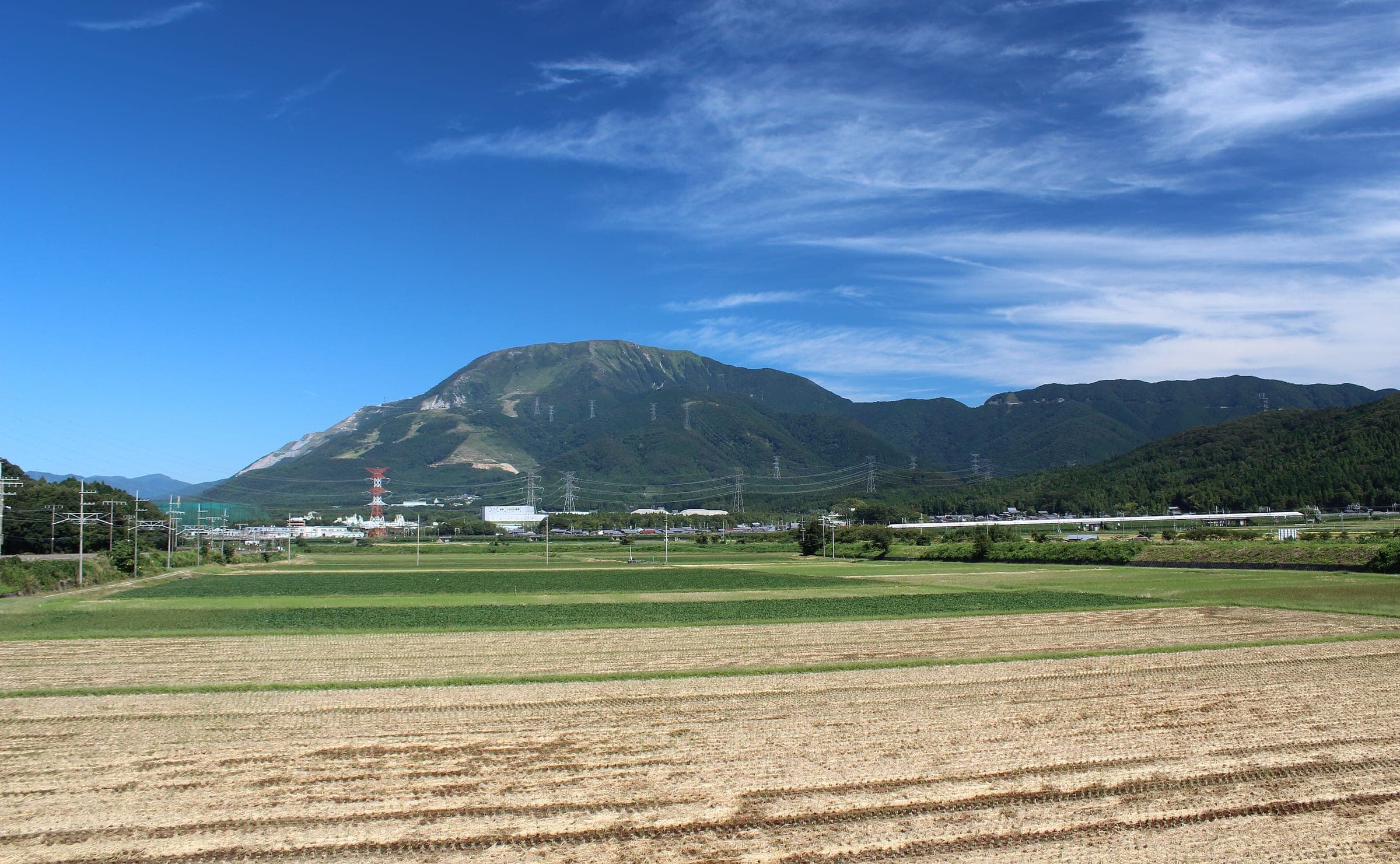
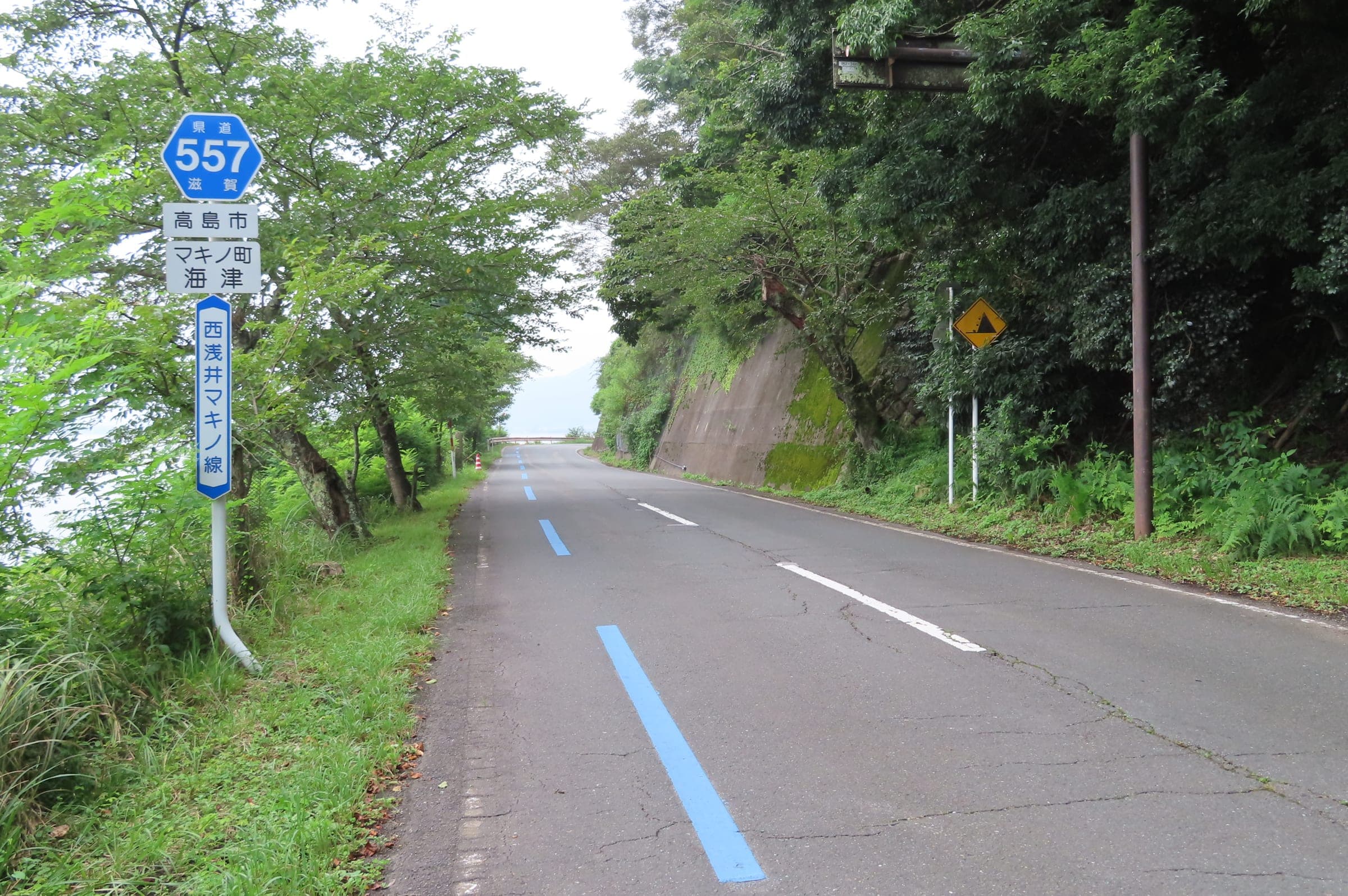
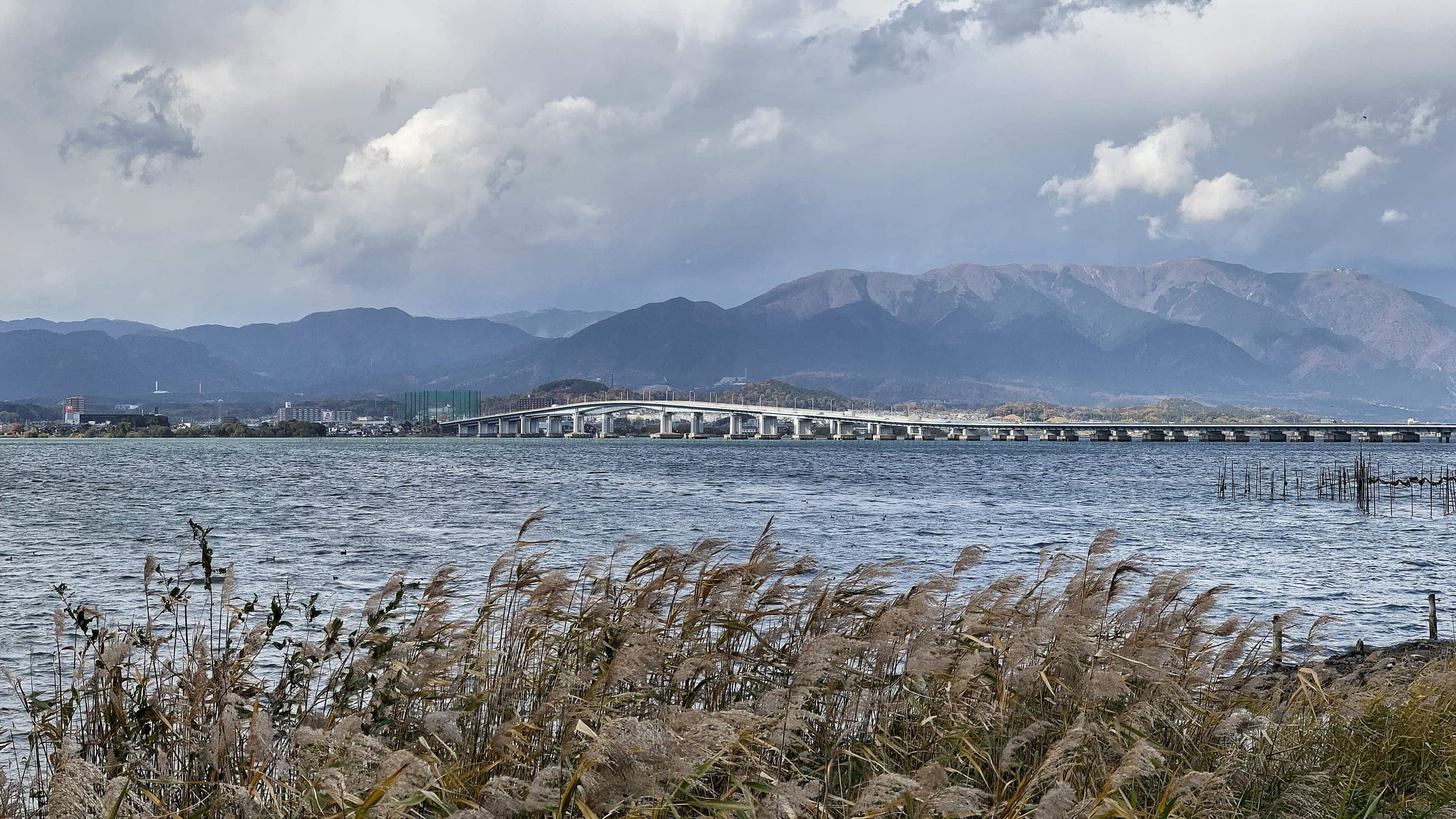
Shiga lays the lap out counterclockwise. Bikes keep left in Japan, so that direction puts you on the lake side of the road with fewer junctions to cross. The full lap runs as far south as the Seta no Karahashi bridge, and plenty of riders count the northern lake alone from the Biwako Ohashi bridge as their Biwaichi.
Two lines are signed. The low-speed course for families and newer riders keeps to quiet roads and the shared paths along the shore, and the advanced course this page follows sits mostly on the road. Expect hills between Kinomoto and Shiotsu and again on the way over to Nagahara.
The east shore from Otsu Port up to Kinomoto has a lakeside path most of the way. On the far side of the lake the route passes the Metasequoia avenue turn near Makino, then runs through Takashima on the national road before the back lanes to Katata.
Strong riders can do the lap in a day. Shiga suggests at least one night, with a stop near Kinomoto if you start in Otsu, or near Omi-Maiko if you start in Maibara, and Ohmi Railway lets you roll a bike straight onto its cycle train out of Maibara.
Worth knowing
- Start early and plan to be off the bike by mid-afternoon, which is how Shiga suggests you ride the lap.
- Riders with children can switch to the low-speed course on Shiga's official web map.
- Look up the Shiga Cyclist-Friendly Inns before booking; the prefecture certifies them for bike storage.
Quick answers about Biwaichiよくある質問
Which way do you ride Biwaichi?
Counterclockwise. Shiga's Biwaichi site sets the lap that way so that riders keeping left stay on the lake side of the road with fewer junctions to cross.
How many days does Biwaichi take?
Shiga recommends two days or more. Strong riders can finish Biwaichi in one day, and the prefecture suggests at least one night so you have time for the sights and food along the shore.
When is the best season for Biwaichi?
Spring into early summer, May above all, and autumn. Shiga warns of heatstroke on summer laps and says snow on the north shore makes winter riding difficult.
Where can you park for Biwaichi?
Pieri Moriyama and nearby Misaki Park at the east end of the Biwako Ohashi bridge open free parking for Biwaichi riders. Shiga asks riders not to leave cars all day at lakeside car parks or roadside stations.
How long is the Biwaichi ride?
The Biwaichi ride is 186.5 km with 396 m of climbing by our route data, routed over OpenStreetMap and measured against Copernicus DEM GLO-30 30 m. The highest point is 149 m, and the steepest 200 m averages 12.1%.
Where can you buy food and water on the Biwaichi ride?
OpenStreetMap lists konbini at 36 points within reach of the Biwaichi line, and drinking water at 4. The longest stretch without konbini is 25.5 km, so carry what you need for it.
Within 8 km
Places to stay nearby宿
In the journal and guides