Feature · 9 min read
When can you ride Norikura, Shibu Pass and the Japan Alps Cycling Road?
Norikura's car-free road opens to bikes from 1 July to 31 October. Shibu Pass runs from late April to mid November, and the 800 km loop round Nagano breaks into station-to-station days.
By Adam BognarPublished
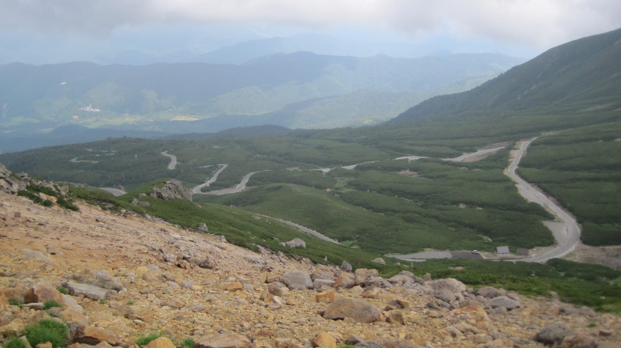
Ride the Norikura Echo Line between 1 July and 31 October, when Nagano lets bicycles onto the road above the Sanbondaki gate and keeps private cars off it all season. Shibu Pass has the longer season, from late April to mid November, and it climbs straight out of a railway terminus at Yudanaka. The Japan Alps Cycling Road is the one to plan a week around, since Nagano Prefecture's loop runs about 800 km and splits into six sections that start and end at stations. Norikura's 2026 season ends on 31 October, so anyone reading this in autumn is planning for July 2027.
We compared the three on when each opens to bikes, how big the climb is, who else uses the road and how you get up or home. Every distance and climbing figure below comes from our own build, which routes a line through the waypoints and reads the heights off the Copernicus 30 m elevation model. Organisers' and race figures appear beside them under their own names, because they were measured from different starting points or in a different way.
| Ride | Open to bikes (2026) | The climb (computed by our build) | Traffic | Getting up or home | The catch |
|---|---|---|---|---|---|
| Norikura Echo Line from Sanbondaki | 1 July to 31 October | 12.4 km and 899 m from the gate to Tatamidaira at 2,715 m | Bikes, buses and taxis; private cars banned all season | Shuttle buses run between Norikura Kogen and the summit; ask about bikes first | A four-month season, and heavy rain closes the road |
| Shibu Pass from Yudanaka | Late April to mid November; reopened 22 April 2026 at 10:00 | 25.8 km and 1,591 m from 601 m at Yudanaka to 2,154 m | Open to all traffic | Yudanaka Station on the Nagano Electric Railway at the bottom | The Kusatsu side crosses ground below an active volcano |
| Japan Alps Cycling Road | No closure dates in our file | 817.8 km and 15,886 m round the loop; the project publishes 800 km and 12,000 m | A mix; our build reads 48% quiet road and 30% busy road | Hokuriku Shinkansen stations at Ueda, Nagano, Iiyama and Sakudaira sit on the loop | It takes a week or more, and long climbs link the valleys |
When does the Norikura Echo Line open to bikes?
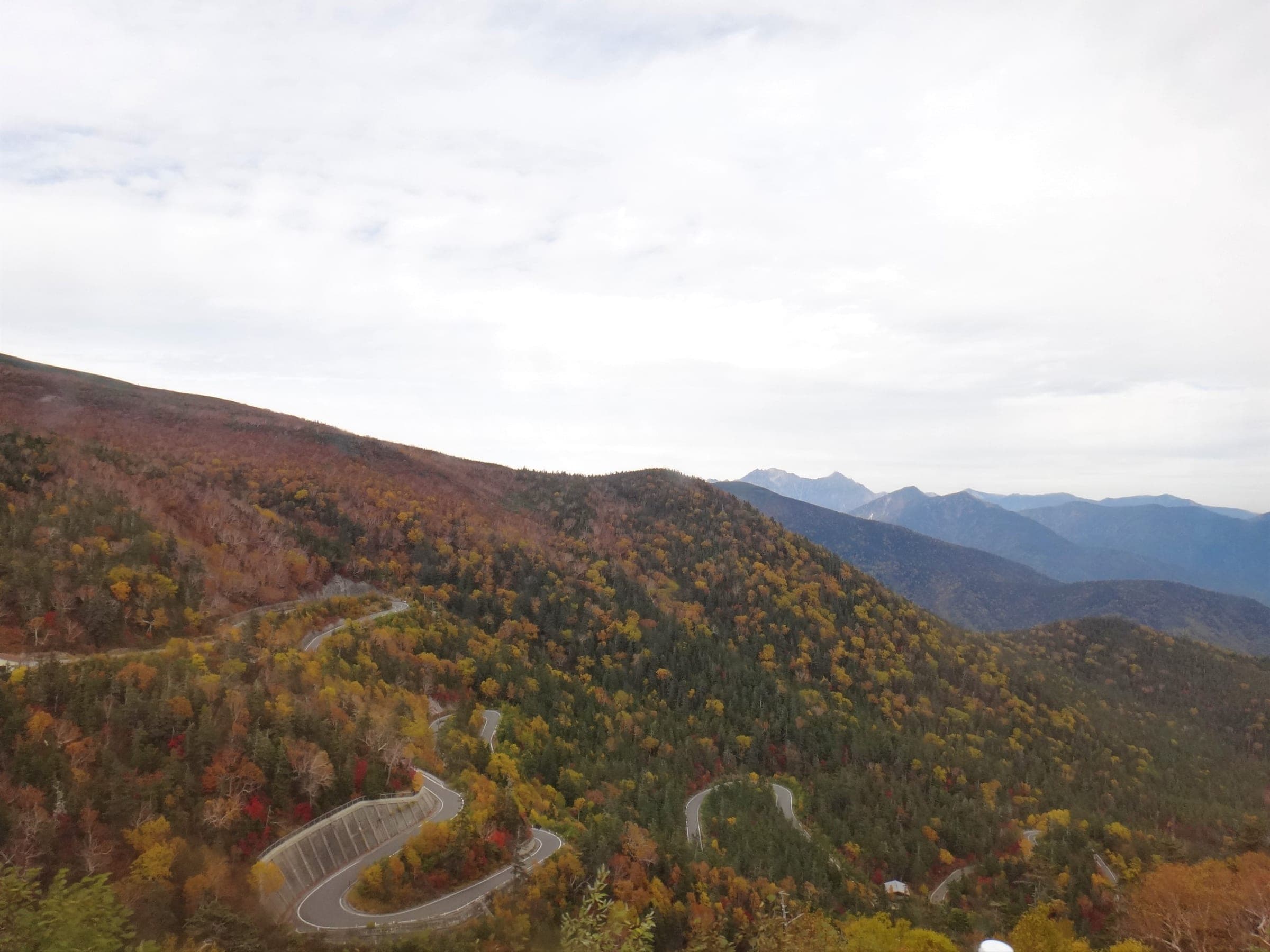
From 1 July to 31 October. Above the Sanbondaki gate the Echo Line runs through Chubu Sangaku National Park, and Nagano bans private cars there to protect the mountain's plants and animals. Bicycles, buses, taxis, exempt vehicles and holders of a Matsumoto police permit share the road through the season. In spring the road belongs to the bus first: from 27 April to 30 June 2026 only the spring route bus and permit holders could use it. Nagano shuts the road above Sanbondaki from 1 November, and early snow can close it sooner.
Our build measures the climb from the gate to the Tatamidaira bus terminal at 12.4 km with 899 m of gain. Its longest unbroken climb runs 11.7 km at an average of 7.7%, and it counts 15 hairpins. The start sits at about 1,815 m on the elevation model and the top at 2,715 m, just over the Gifu border where the Echo Line meets the Norikura Skyline. The gate stands on Nagano Prefectural Route 84. Leave the car at Norikura Kogen's free car parks and ride up to it.
The Norikura Hill Climb races the same road from lower down, and its organisers publish 20.5 km with 1,260 m of climbing from the Norikura Kanko Center to the border. It runs on the last Sunday of August. The 2026 race was called off at 4:50 on race morning, after more than 80 mm of rain on the Echo Line closed the road. Heavy rain closes the road on any day, so check its status before you set out.
Pack a warm layer and a jacket for Tatamidaira. In autumn Nagano bans stopping and parking between Kuraigahara Sanso and the border gate, and in 2026 the ban ran from 12 September to 12 October, so take your photos at the car parks.
How do the private-car bans and shuttle buses work?
Drivers park at the foot and take the bus. On the Nagano side the shuttle buses leave from Norikura Kogen and run up to Tatamidaira. Our route file has no published rule on carrying bikes, so ask before you count on a ride down. The Norikura Skyline climbs the Gifu side from Hirayu Pass, and Nagano's notice lists it under the same rules: no private cars in season, and the last traffic on 31 October 2026.
Hirayu Onsen is the village at the Gifu end, and its bus terminal is where people change for Norikura, Kamikochi and Shin-Hotaka. Private cars cannot drive to Kamikochi either. Drivers park at Akandana for ¥600 a day and ride the bus, which runs from late April to 15 November. Hirayu suits a rider coming up the Skyline side who wants a big bath at the end of the day. Hirayu no Mori gives staying guests its 16 forest pools until 8:00 the next morning. Dinner and breakfast cost from ¥11,000 a person in 2026, and the rooms have no air conditioning.
Shibu Pass carries ordinary traffic. Our build reads 79% of the line as busy road, so ride it early on a summer weekend.
How hard is Shibu Pass from Yudanaka?
Shibu Pass climbs a long way from the valley floor. Our build measures 25.8 km from Yudanaka Station to the pass with 1,591 m of climbing, and the line rises from 601 m to 2,154 m. Its longest unbroken climb runs 14.6 km at an average of 6.9% and gains 1,001 m. Five short tunnels add up to 575 m, and the longest is 175 m. Nagano Prefecture lists Shibu Pass as the highest point on any Japanese national road, and it notes the true top sits a little way over on the Gunma side.
The road climbs out of Yudanaka and Shibu Onsen through the Shiga Kogen ski villages. Beyond the Hiizaka gate it becomes the Shiga-Kusatsu Road, which opened as a toll road in 1965 and has been free since 1992. In 2025–26 Gunma closed it at 13:00 on 12 November and reopened it at 10:00 on 22 April. The 2026–27 dates had not been posted on 11 October 2026. Ride in late April or May for the snow walls that line the road just after it reopens, and check Gunma's closure list for the day.
The far side needs a check before you commit. Riding down to Kusatsu crosses the slopes of Kusatsu-Shirane, and JMA watches that volcano around the clock. JMA lowered the Yugama crater from alert level 2 to level 1 on 15 May 2026, and Kusatsu town keeps everyone 500 m back from that crater. At level 2 the closed ground widens to 1 km, and at level 3 to 2 km. When Yugama sat at level 2, Gunma restricted Route 292 between the Sesshogawara car park and the Manza junction, and the Manza Highway detour bans bicycles. Gunma reopened that stretch at 13:00 on 29 May 2026, and the whole Shiga-Kusatsu Road has been open since. Read JMA's Kusatsu-Shirane page and Gunma's road page on the morning you ride.
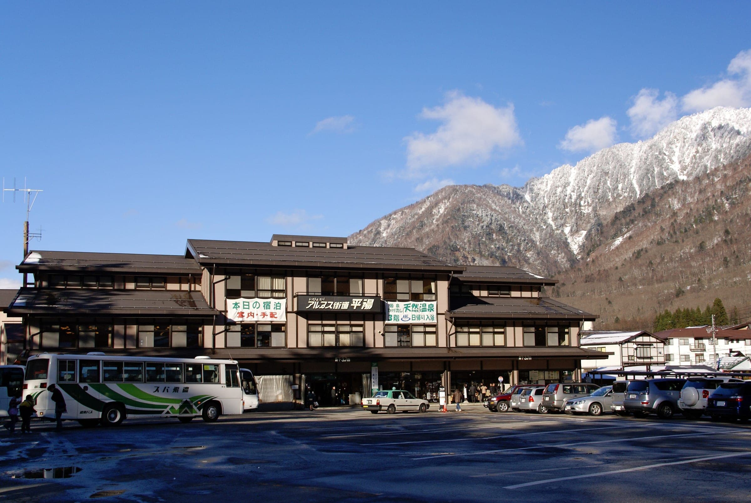
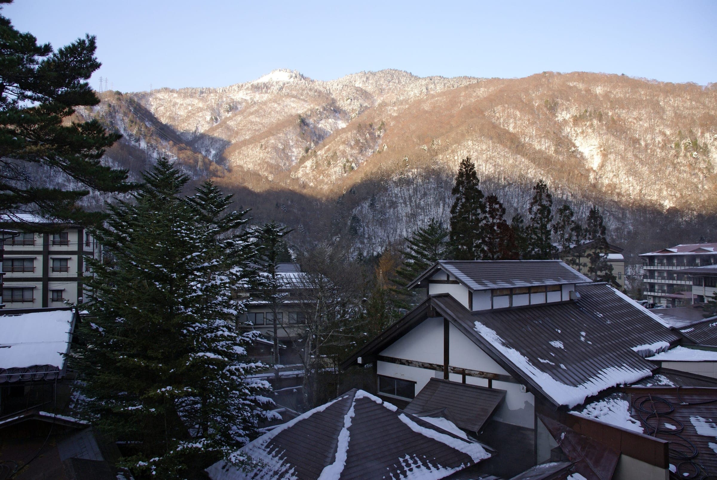
Finish where you started. Kaede no Yu sits on the forecourt at Yudanaka Station and charges ¥500 in 2026 for free-flowing spring water and an outdoor bath. It closes on the first Tuesday of each month. Sleep down the hill in Shibu, where Shibu Onsen Kokuya runs a free shuttle from Yudanaka Station from 15:00 and its guests borrow the key to the town's nine public baths. Kanaguya has its own source-fed baths in a tall wooden inn on the same lane. Stone-paving works limit vehicles in Shibu from 29 June 2026 into early December, so walk the last stretch. Riders who want to start high can sleep at Shiga Palace Hotel at Kumanoyu, where the Nagano Tourism Organization listed half board from ¥8,500 a person in 2025.
How do you ride the Japan Alps Cycling Road?
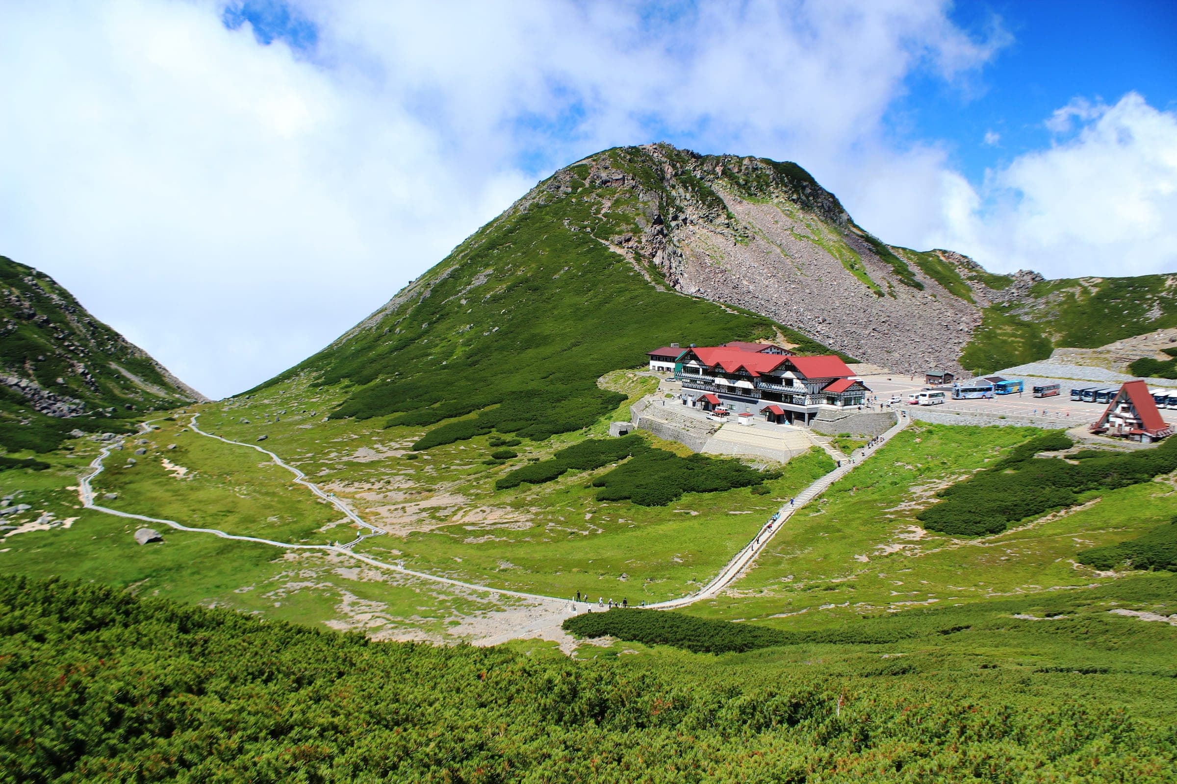
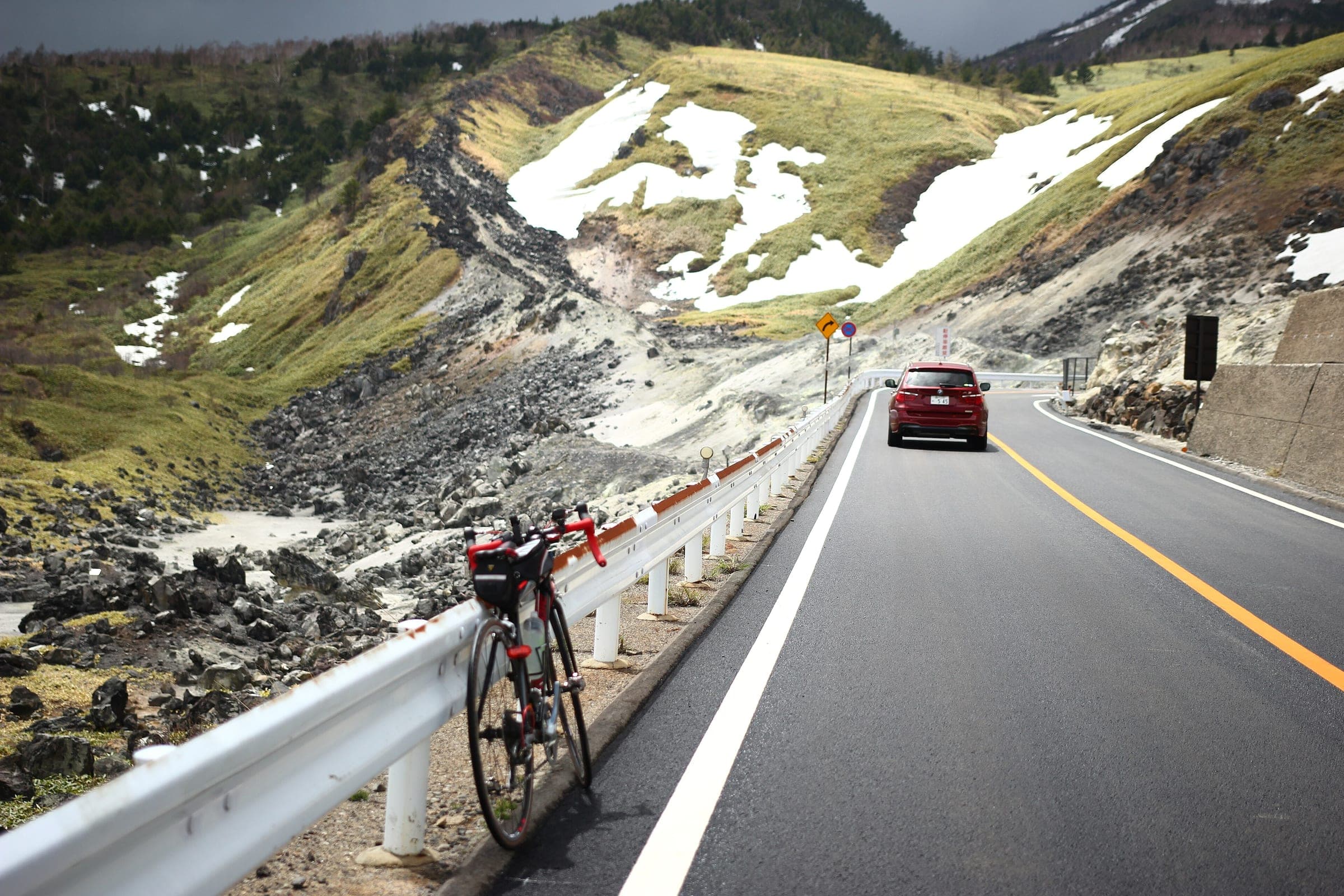
Ride it in sections. Nagano Prefecture set up the Japan Alps Cycling Project in 2019, fixed the full route in fiscal 2022 and publishes the loop as six sections between stations: Ueda to Nagano, Nagano to Iiyama, Iiyama to Shinshu Matsumoto Airport, the airport to Tenryukyo, Tenryukyo to Kami-Suwa, and Kami-Suwa back to Ueda. The Hokuriku Shinkansen stops at Ueda, Nagano, Iiyama and Sakudaira, and all four sit on the loop, so you can ride a section or two and take the train home.
Our line follows the project's counter-clockwise order from Ueda and measures 817.8 km, which sits 2.2% above the 800 km in MLIT's summary of the project. For climbing our build counts 15,886 m against the project's published 12,000 m. The two figures come from different methods, and ours adds up every rise it reads on a 30 m elevation model, so plan your days on the larger one. Our build also counts 173 hairpins round the loop.
At two points the project gives you a choice. Between Azumino and Shiojiri one line runs through central Matsumoto and the other goes round by the airport, and our line takes the airport. Between Nagiso and Achi you cross either the Ohira Pass or the Seinaiji Pass, and the project asks riders to check the weather and the road surface before picking one. The project says the loop works in either direction, and a few stretches change when you ride it clockwise.
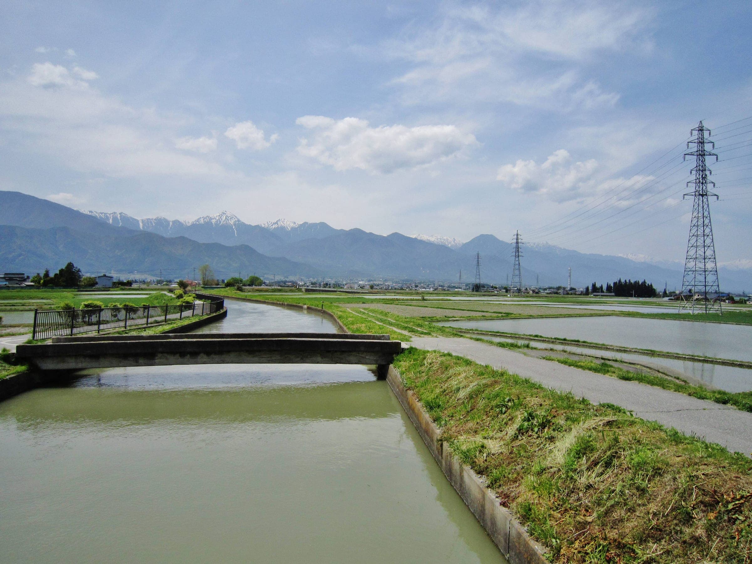
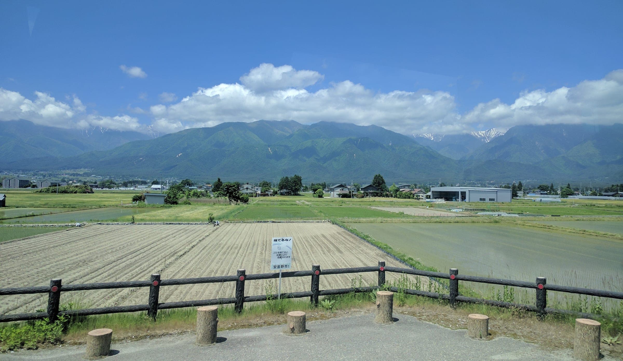
For a gentler taste of the same mountains, the Azumino water course rides flat farm roads under the Northern Alps. The Alps Azumino Century Ride runs up the valley to Hakuba and back twice each spring, and in 2026 it ran on 19 April and 24 May.
The map
The map marks every place this piece visits.
Contours come from Copernicus DEM, and the coast and water from OpenStreetMap.
What should you check before a high-road ride?
Check for bears and for volcano alerts before you go. Asian black bears live in the forests along all three rides. The Ministry of the Environment posts national sightings and advice, so read it before an early-morning or late-season ride. Mt. Norikura is an active volcano that JMA keeps at alert level 1, and its JMA page posts any change. The Shibu Pass section above covers Kusatsu-Shirane and its alert levels. Our ride safety guide covers the rest.
Quick answers
When can you cycle the Norikura Echo Line?
Bicycles may ride the Norikura Echo Line above the Sanbondaki gate from 1 July to 31 October. Nagano bans private cars on that section all season and closes it for the winter from 1 November.
How long is the climb up Norikura from Sanbondaki?
Our build measures the Norikura Echo Line from the Sanbondaki gate to Tatamidaira at 12.4 km with 899 m of climbing, to a top of 2,715 m. The Norikura Hill Climb starts lower and publishes 20.5 km with 1,260 m.
When is Shibu Pass open?
Shibu Pass is open from late April to mid November. In 2025–26 Gunma closed it at 13:00 on 12 November and reopened it at 10:00 on 22 April, and the 2026–27 dates had not been posted on 11 October 2026.
How much climbing is Shibu Pass from Yudanaka?
Our build measures Shibu Pass from Yudanaka Station at 25.8 km with 1,591 m of climbing, from 601 m to 2,154 m. Nagano Prefecture lists the pass as the highest point on Japan's national roads.
How long is the Japan Alps Cycling Road?
The Japan Alps Cycling Project publishes the Japan Alps Cycling Road at 800 km with 12,000 m of climbing. Our own build of the line measures 817.8 km.
We write from operators’ and agencies’ own pages, open map data and published research, and we date every fact we check. How we research.
Sources (13)
- https://www.pref.nagano.lg.jp/shizenhogo/infra/doro/joho/norikuradake.html
- https://norikura.gr.jp/2026/04/235693/
- https://norikura-hc.com/info260831.html
- https://www.data.jma.go.jp/vois/data/report/activity_info/311.html
- https://www.pref.nagano.lg.jp/hokuken/documents/66shibutoge.pdf
- https://www.pref.gunma.jp/page/11074.html
- https://www.pref.gunma.jp/page/716190.html
- https://www.data.jma.go.jp/vois/data/tokyo/305_Kusatsu-Shiranesan/305_index.html
- https://www.mlit.go.jp/road/bicycleuse/good-cycle-japan/model_route/pdf/44.pdf
- https://japanalpscycling.jp/cycling-root
- https://japanalpscycling.jp/about
- https://www.env.go.jp/nature/choju/effort/effort12/effort12.html
- https://www.info-yamanouchi.net/about/kaede/
Places in this piece関連
Read next読む
guide · 11 min read
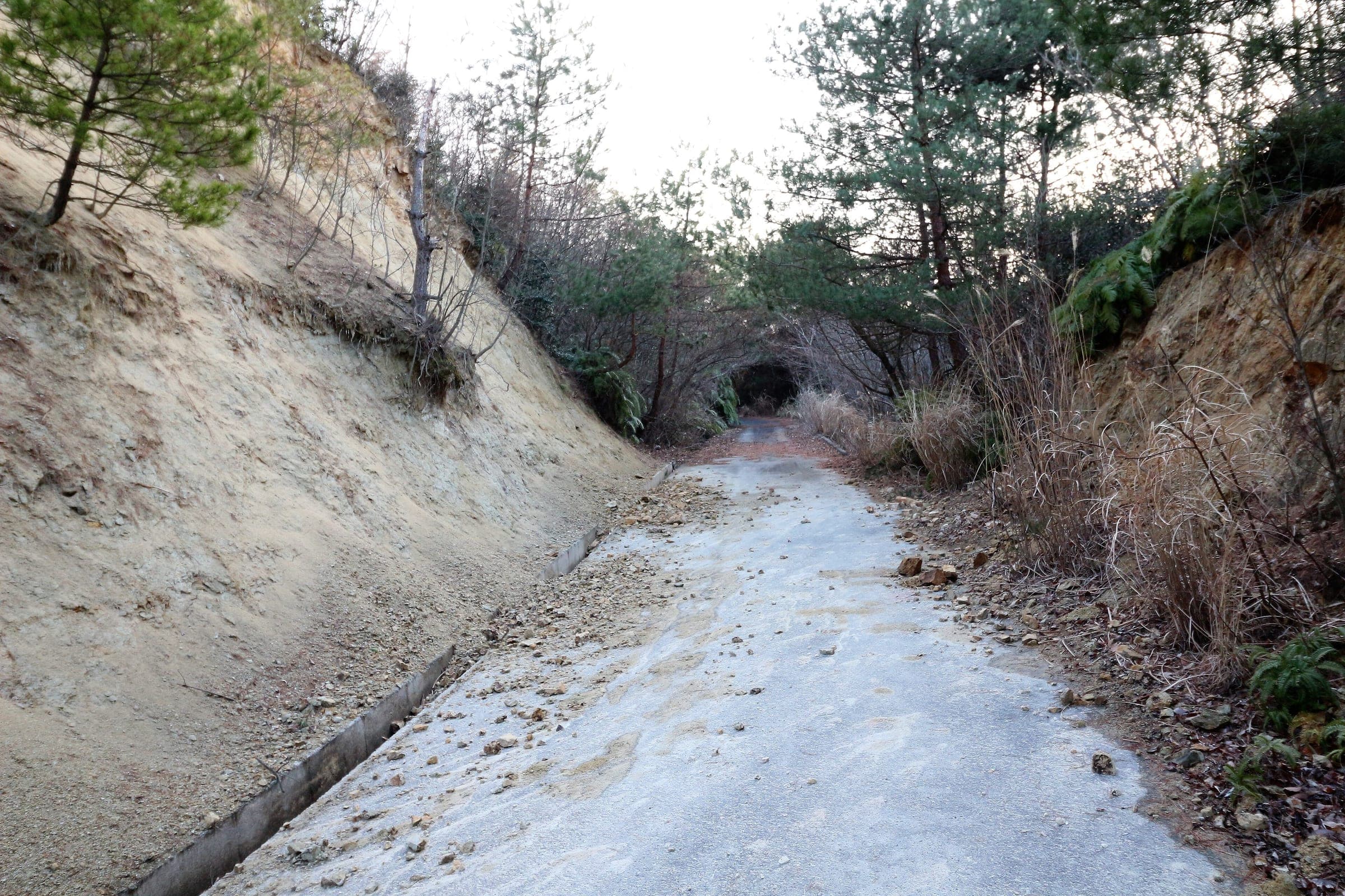
How do you stay safe on a cycling trip in Japan?
Heat sends far more people to hospital than anything with teeth, so the heatstroke alert is the first thing to read on a summer morning. After that come hornets and bears on forest roads, dark tunnels, typhoons from August, and what to do when the ground shakes near the sea.
guide · 7 min read
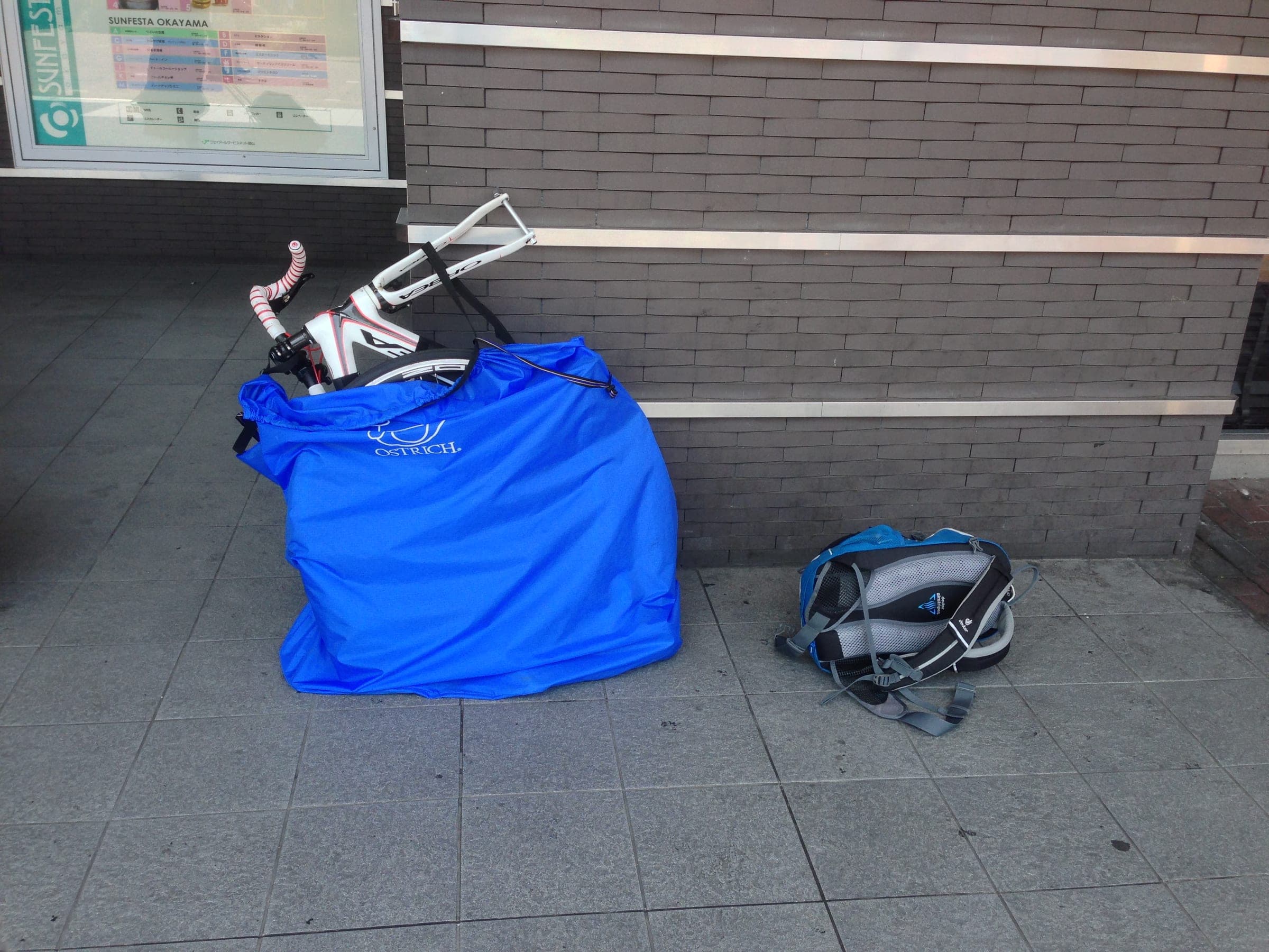
Can you take a bike on the Shinkansen?
Every Shinkansen takes a bike packed as rinko, wheels off and fully bagged, up to 250 cm and 30 kg. West of Tokyo you should book the seat with the space behind it, and north of Tokyo there is nothing to book.
guide · 6 min read
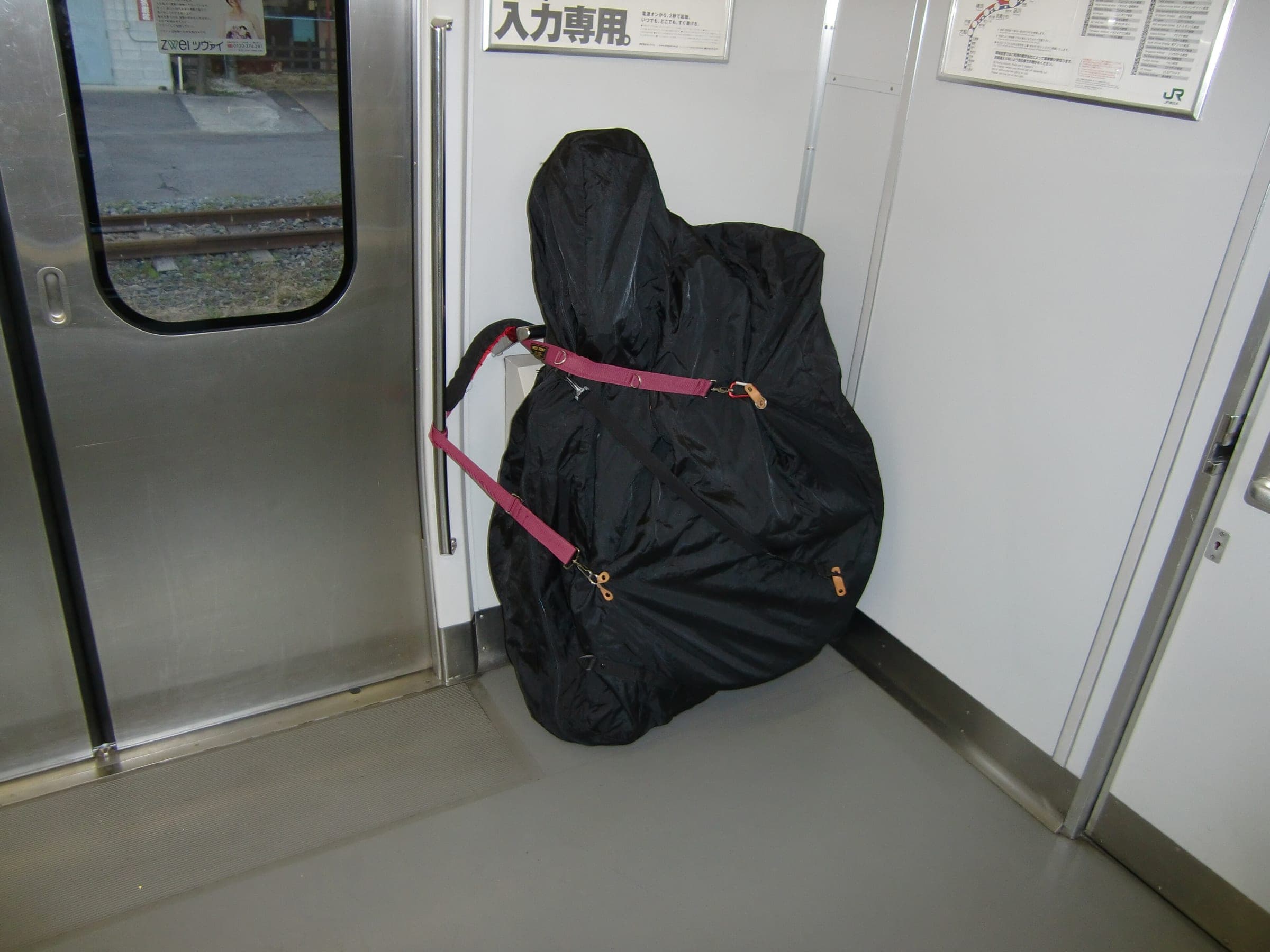
What is a rinko bag, and which one do you need for Japan's trains?
A rinko bag is the soft cover that turns a bike into luggage for Japan's trains. JR wants every part inside it and the whole bag within 250 cm and 30 kg, and a shop like Y's Road in Ueno will match one to your frame.