Shibu Pass from Yudanaka
渋峠(国道292号 湯田中から)36°44′ N 138°25′ E25.8 km · 1,591 m up · 21% quiet roadsHardRoad bike, E-road bikeSeasonal
Shibu Pass from Yudanaka climbs Route 292 through Shiga Kogen to the highest point on Japan's national road network, and it suits fit riders who want a big alpine climb from a railway terminus; the trade-off is a season from late April to mid November.
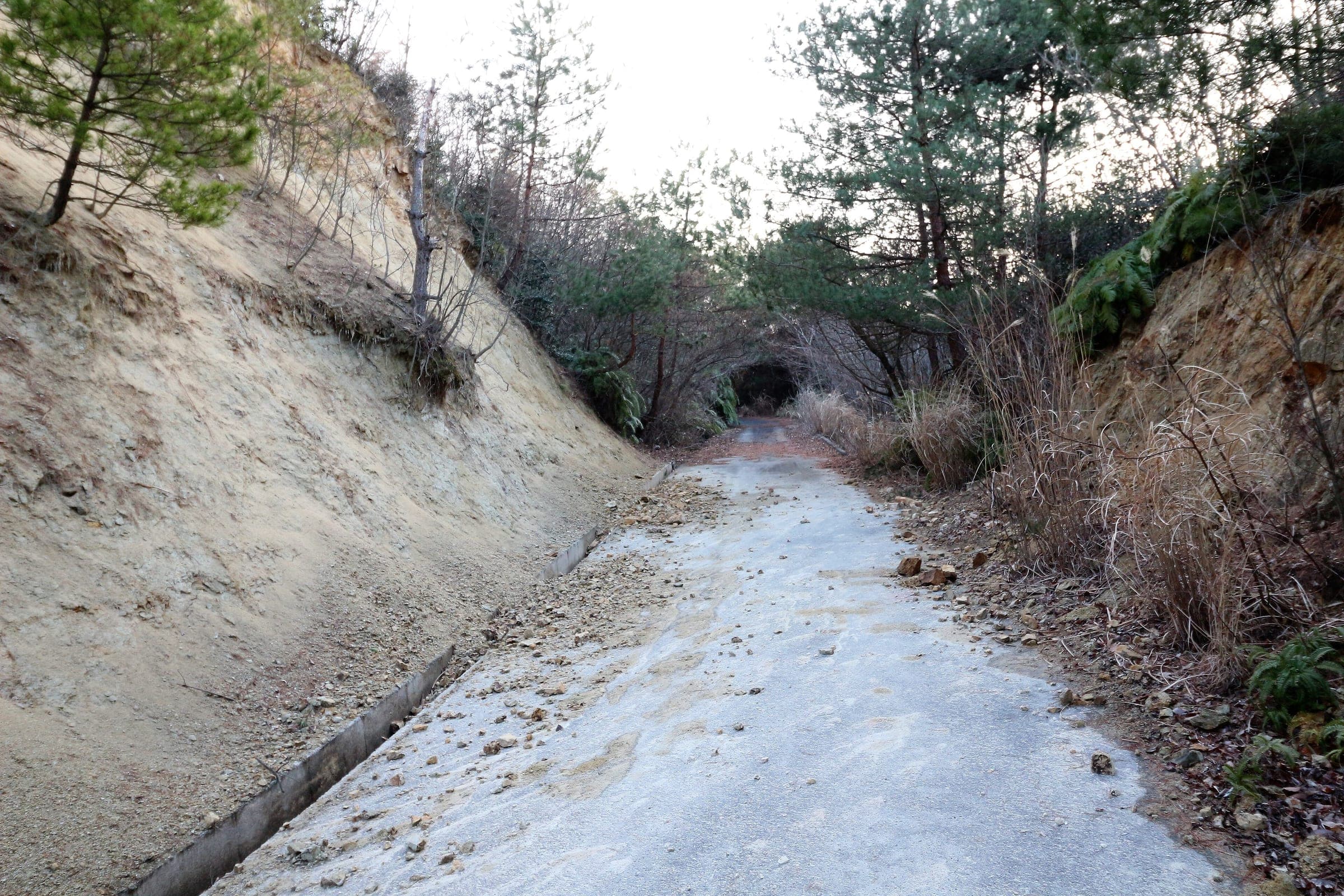
Photo 赤カメラ · Wikimedia Commons · CC BY 3.0 and others, credited in the gallery
HardPass ascentRoad bike, E-road bike
KonbiniDrinking waterToiletsBike shopsTop of chart 2200 m
Routed over OpenStreetMap with BRouter fastbike-asia-pacific and measured against Copernicus DEM GLO-30 30 m on 2026-10-12. 0.6 km crosses bridges or water, where the elevation is drawn straight across. 0.6 km runs through tunnels, drawn straight through the hill.
On the road
- Start
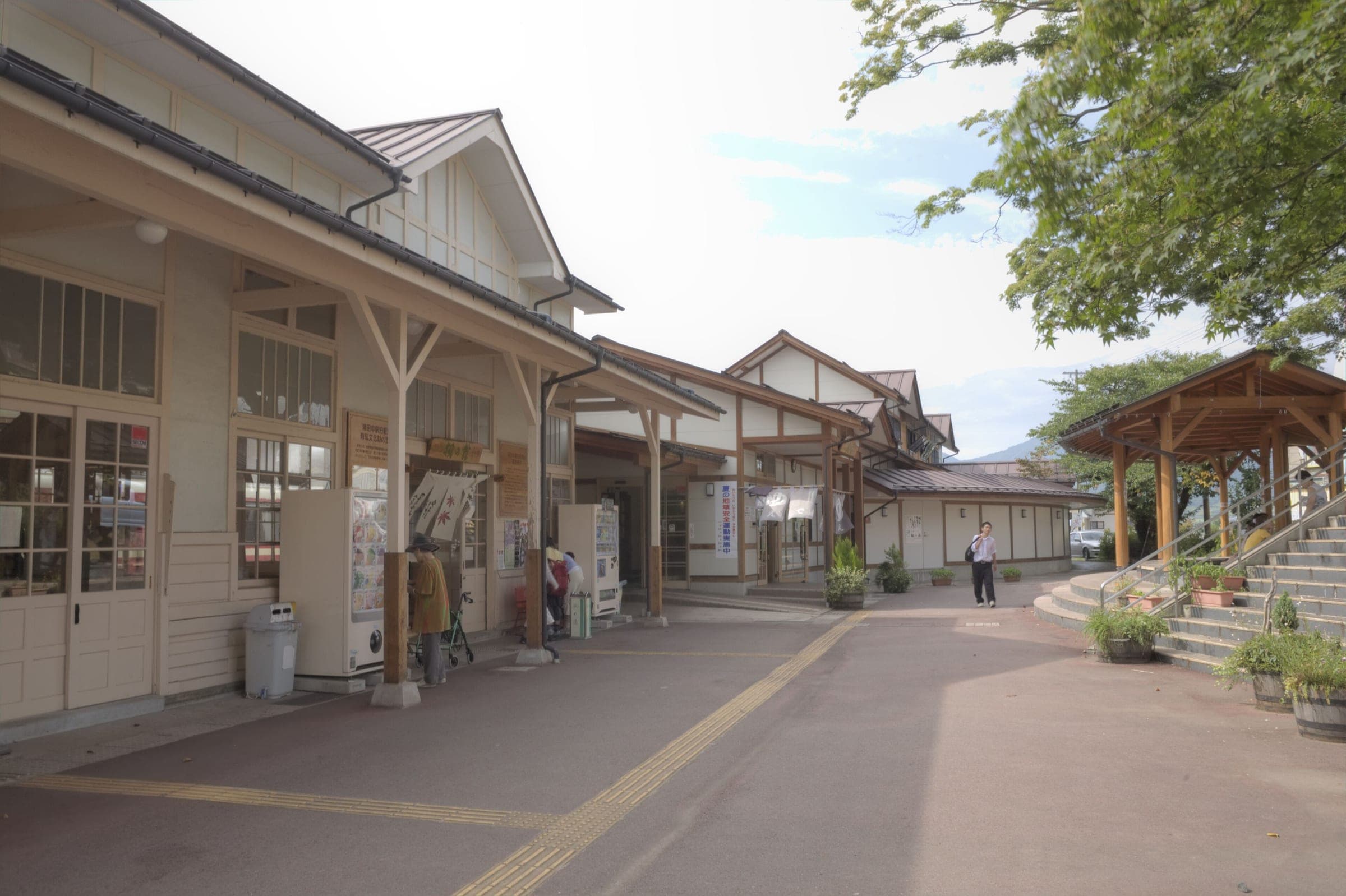
- Yudanaka Station. The Nagano Electric Railway's terminus stands in Yudanaka Onsen at the foot of the climb.
- Finish
- Shibu Pass. The pass sits on the Nagano–Gunma border, and Nagano notes that the highest point of the national road lies a little way over on the Gunma side.
- In winter
- The road is closed from the Hiizaka gate in Nagano over the pass to the Tenguyama gate in Kusatsu. In 2025–26 Gunma closed it at 13:00 on 12 November and reopened it at 10:00 on 22 April, and the 2026–27 dates had not been posted on 11 October 2026.
- In spring
- Just after the spring reopening the road runs between high walls of snow, Nagano notes. In 2026 the 8.5 km stretch from the Sesshogawara gate to the Manza junction stayed shut after 22 April under the volcanic alert, and Gunma opened it at 13:00 on 29 May once JMA had lowered Yugama to level 1.
Ride safely
- Asian black bears live in the forests along this road. The Ministry of the Environment posts national sightings and advice, so read it before an early-morning or late-season ride.
- The Kusatsu side of the pass crosses ground below Kusatsu-Shirane. Gunma closed Route 292 from the Sesshogawara car park to the Manza junction on 4 August 2025, when JMA raised the alert to level 2, and the Manza Highway detour bans bicycles. JMA lowered Yugama to level 1 on 15 May 2026, and Gunma reopened that section at 13:00 on 29 May 2026. A higher alert can shut it again, so check JMA's page and Gunma's road page before you ride over the top: https://www.data.jma.go.jp/vois/data/tokyo/305_Kusatsu-Shiranesan/305_index.html
- Early snow can shut the road before the winter closure starts.
Wind at Kusatsu, 1991-2020 normals
Which way to ride, month by month風
Jan
NNW 1.7
–
Feb
NNW 1.7
–
Mar
NNW 1.5
–
Apr
NNW 1.4
–
May
SE 0.9
–
Jun
SE 0.5
–
Jul
SE 0.4
–
Aug
SSE 0.4
–
Sep
SSE 0.5
–
Oct
N 0.8
–
Nov
NNW 1.2
–
Dec
NNW 1.5
–
Arrows point the way the wind blows. Speeds are monthly means in m/s. The wind on any day can differ from the monthly pattern, so check the forecast.
Where to stop
Stops along the way寄り道
Kaede no YuBath
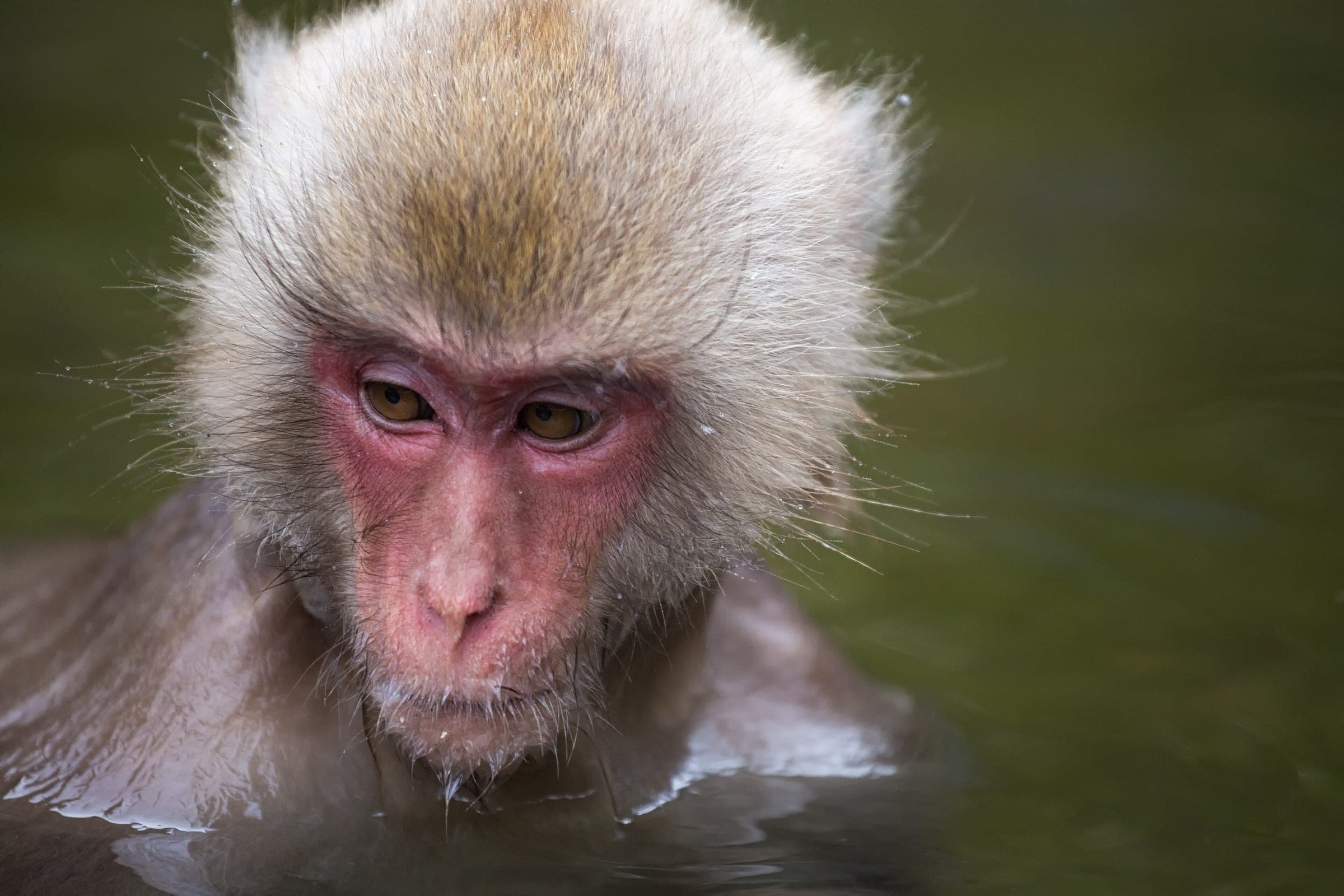
The day bath beside Yudanaka Station suits the finish.
Shibu OnsenBath
The old inn lane sits just above Yudanaka.
Shiga KogenTown
The road climbs through the Shiga Kogen ski villages.
Shiga Kogen Yokoteyama and ShibutogeView
The ski area sits just below the pass.
Every stop OpenStreetMap lists along the line (3): cafés, konbini, drinking water
- ティーサロン 都Caféskm 0.1
- LawsonKonbinikm 0.1
- Drinking waterDrinking waterkm 9.7
From OpenStreetMap, within each kind’s reach of the line. Opening hours change; check before you rely on one.
Ways off the route
YudanakaRail
The Nagano Electric Railway ends here at the start.
KamijoStation · km 0 · 1.1 km off the line
YudanakaStation · km 0
Stations from OpenStreetMap within 2 km of the line. Check whether the line takes bikes before you plan to use it.
Tunnels
The line runs through 5 tunnels, 0.6 km in all; the longest is 175 m.
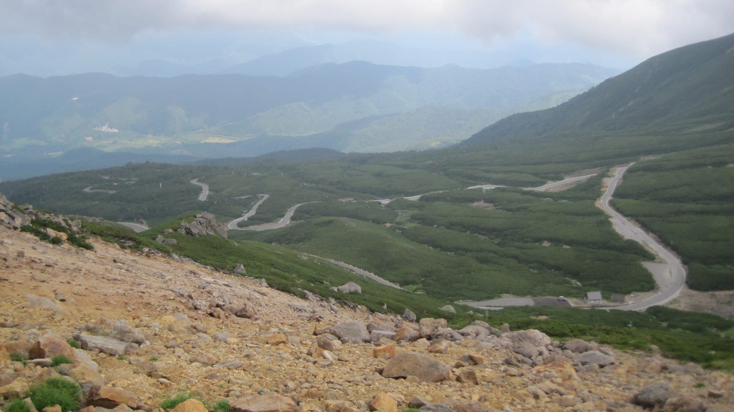
Route 292 climbs out of Yudanaka and Shibu Onsen through the Shiga Kogen ski villages to Shibu Pass. Nagano Prefecture lists the pass as the highest point on any Japanese national road. Beyond the Hiizaka gate the road is the Shiga-Kusatsu Road. It opened as a toll road in 1965 and has been free since 1992, and every winter it shuts.
Nagano's own note on the pass points to the view over Shiga Kogen from the top and to the snow walls that line the road just after it reopens in spring. The pass also has a lodge built across the prefectural border.
Riding on down to Kusatsu means crossing the slopes of Kusatsu-Shirane, so read the volcano notes below before you commit to the far side.
Worth knowing
- Start from Yudanaka Station on the Nagano Electric Railway and finish with a soak at Kaede no Yu beside the platform.
- Ride in late April or May for the snow walls, and check Gunma's closure list for the exact reopening day.
Quick answers about Shibu Pass from Yudanakaよくある質問
When is Shibu Pass open?
From late April to mid November. In 2025–26 Gunma closed Shibu Pass at 13:00 on 12 November and reopened it at 10:00 on 22 April, and the 2026–27 dates had not been posted on 11 October 2026.
Is Shibu Pass the highest road in Japan?
It's the highest point on Japan's national roads. Nagano Prefecture lists Shibu Pass on Route 292 as the highest point of any national road, with the true top a little way over on the Gunma side.
Can you ride from Shibu Pass down to Kusatsu?
Yes, since 13:00 on 29 May 2026. Gunma had closed Route 292 from Sesshogawara to the Manza junction in August 2025 under a level 2 volcanic alert, and it reopened the section after JMA lowered Yugama to level 1 on 15 May 2026. The Manza Highway detour bans bicycles, so check JMA and Gunma on the day you ride in case the alert rises again.
How long is the Shibu Pass from Yudanaka ride?
The Shibu Pass from Yudanaka ride is 25.8 km with 1,591 m of climbing by our route data, routed over OpenStreetMap and measured against Copernicus DEM GLO-30 30 m. The highest point is 2,154 m, and the steepest 200 m averages 17.4%.
Where can you buy food and water on the Shibu Pass from Yudanaka ride?
OpenStreetMap lists konbini at one point within reach of the Shibu Pass from Yudanaka line, and drinking water at one. The longest stretch without konbini is 25.7 km, so carry what you need for it.
Which way should you ride Shibu Pass from Yudanaka in April to May and October to November?
In April to May and October to November the most frequent wind at the nearest weather station blows from the north-north-west at about 1.1 m/s on average. By our calculation the Shibu Pass from Yudanaka ride finishes with less headwind either way.
Within 8 km
Places to stay nearby宿
Within 8 km
Places to eat and drink nearby食
Within 8 km
Sights nearby見どころ
In the journal and guides
Read more about Shibu Pass from Yudanaka特集
Feature · 9 min read
When can you ride Norikura, Shibu Pass and the Japan Alps Cycling Road?
Norikura's car-free road opens to bikes from 1 July to 31 October. Shibu Pass runs from late April to mid November, and the 800 km loop round Nagano breaks into station-to-station days.
Guide · 11 min read
How do you stay safe on a cycling trip in Japan?
Heat sends far more people to hospital than anything with teeth, so the heatstroke alert is the first thing to read on a summer morning. After that come hornets and bears on forest roads, dark tunnels, typhoons from August, and what to do when the ground shakes near the sea.