Azumino Water Course
安曇野市サイクリングコース Aコース「水」36°20′ N 137°53′ E29.3 km · 68 m up · 96% quiet roadsEasyCity bike, E-bike
The Azumino Water Course is Azumino city's own easy loop past wasabi fields and irrigation channels under the Northern Alps, and it suits a Hakuba or Matsumoto rider who wants a spring day on the flat; the trade-off is a fiddly line through lanes that you'll want the city's map to follow.
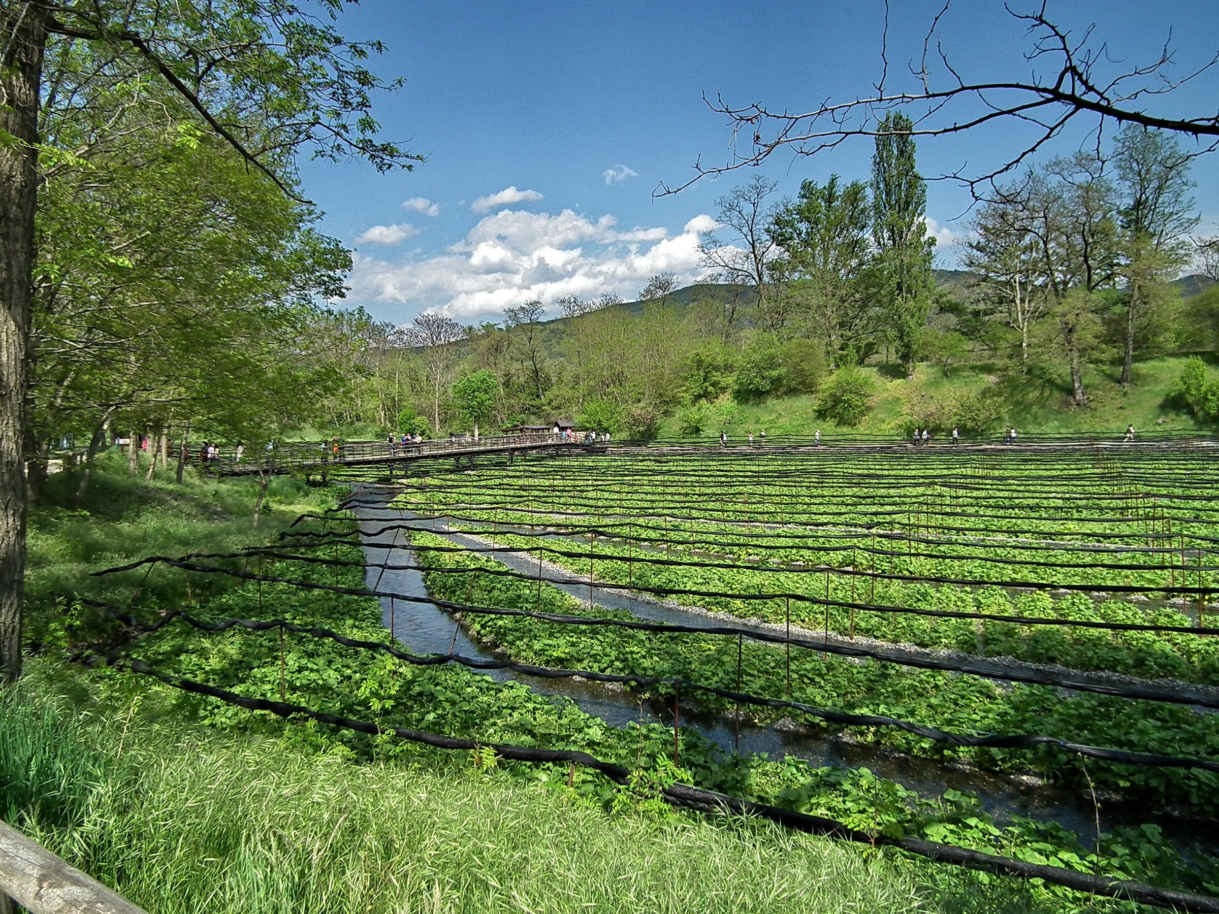
Photo photo: Qurren Taken with Canon IXY 10S · Wikimedia Commons · CC BY-SA 3.0 and others, credited in the gallery
EasyLoopCity bike, E-bike, Touring, Road bike
KonbiniDrinking waterToiletsBike shopsTop of chart 600 m
Routed over OpenStreetMap with BRouter trekking and measured against Copernicus DEM GLO-30 30 m on 2026-10-12. The waypoints run clockwise. 1.1 km crosses bridges or water, where the elevation is drawn straight across. 0.4 km runs through tunnels, drawn straight through the hill.
On the road
- Start
- JR Hotaka Station. Azumino city's map starts the loop at the Horigane roadside station, and the loop runs right past Hotaka Station, so we start it here by the rental shops and the Oito Line platform.
- In spring
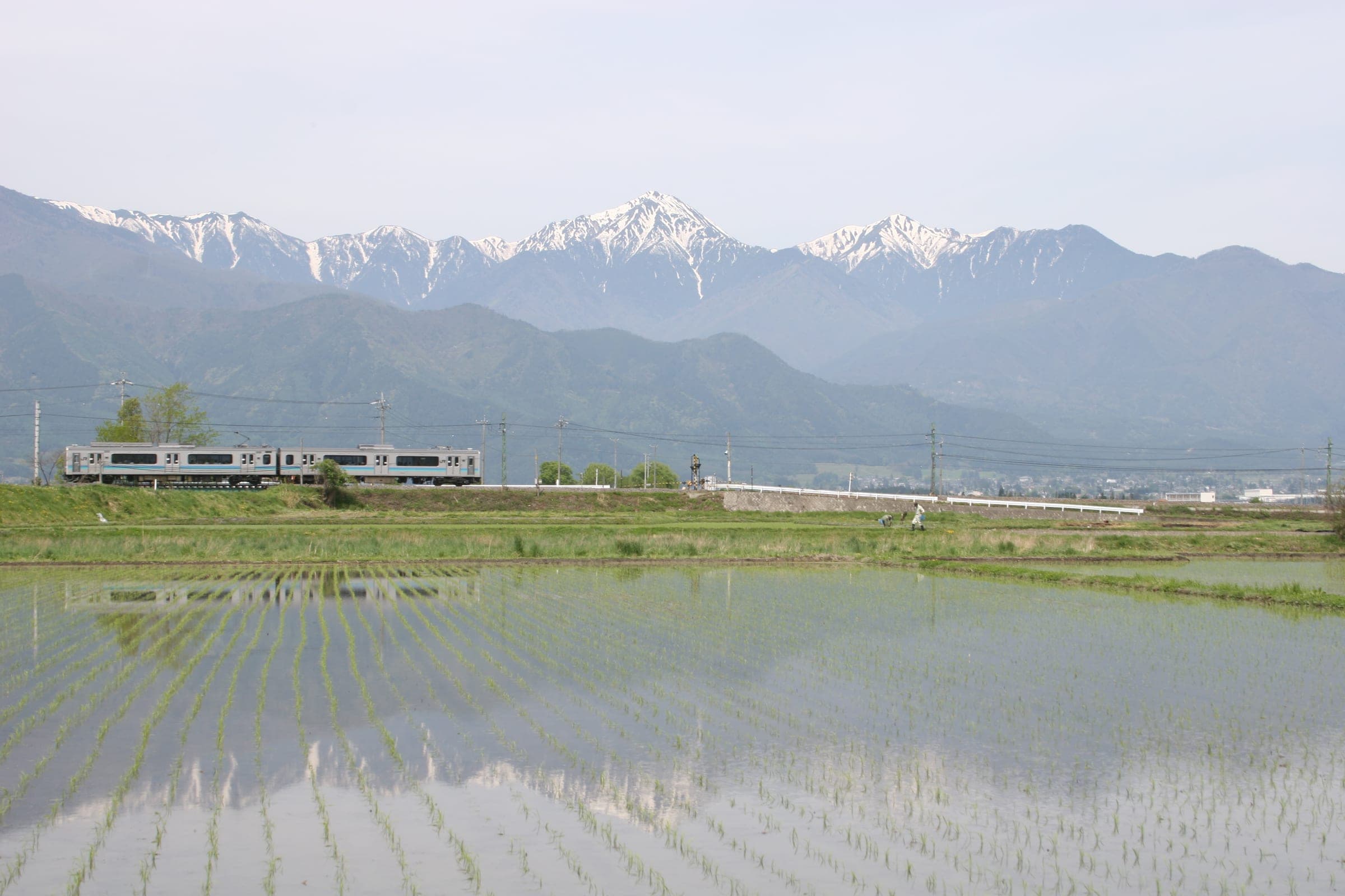
- The Northern Alps shine back from the flooded rice fields just before planting, and the Japan Alps Cycling Project's founders single out that view.
- In winter
- Shinano-an closes from mid December to mid March, and Hitsujiya keeps shorter winter hours of 10:00 to 17:00, so book a bike before an off-season ride.
Ride safely
- Azumino city warns that parts of the loop use narrow lanes and parts use busy roads, and asks riders to keep their speed down and watch for cars and people on foot.
- The city's map flags a short gravel stretch and a few sections without the blue arrow markings, as of March 2024.
Wind at Hakuba, 1991-2020 normals
Which way to ride, month by month風
Jan
NNE 1.2
Either way
Feb
NNE 1.3
Either way
Mar
NNE 1.4
Either way
Apr
NNE 1.5
Either way
May
NNE 1.4
Either way
Jun
NNE 1
Either way
Jul
NNE 0.9
Either way
Aug
NNE 0.9
Either way
Sep
NNE 0.9
Either way
Oct
NNE 0.9
Either way
Nov
NNE 1
Either way
Dec
NNE 1.1
Either way
Arrows point the way the wind blows. Speeds are monthly means in m/s. The wind on any day can differ from the monthly pattern, so check the forecast.
Where to stop
Stops along the way寄り道
Hotaka ShrineSight
The shrine stands a few minutes from the station on the city map.
Rokuzan Art MuseumSight
The brick-path stretch past the museum is marked on the city map.
Daio Wasabi FarmNature
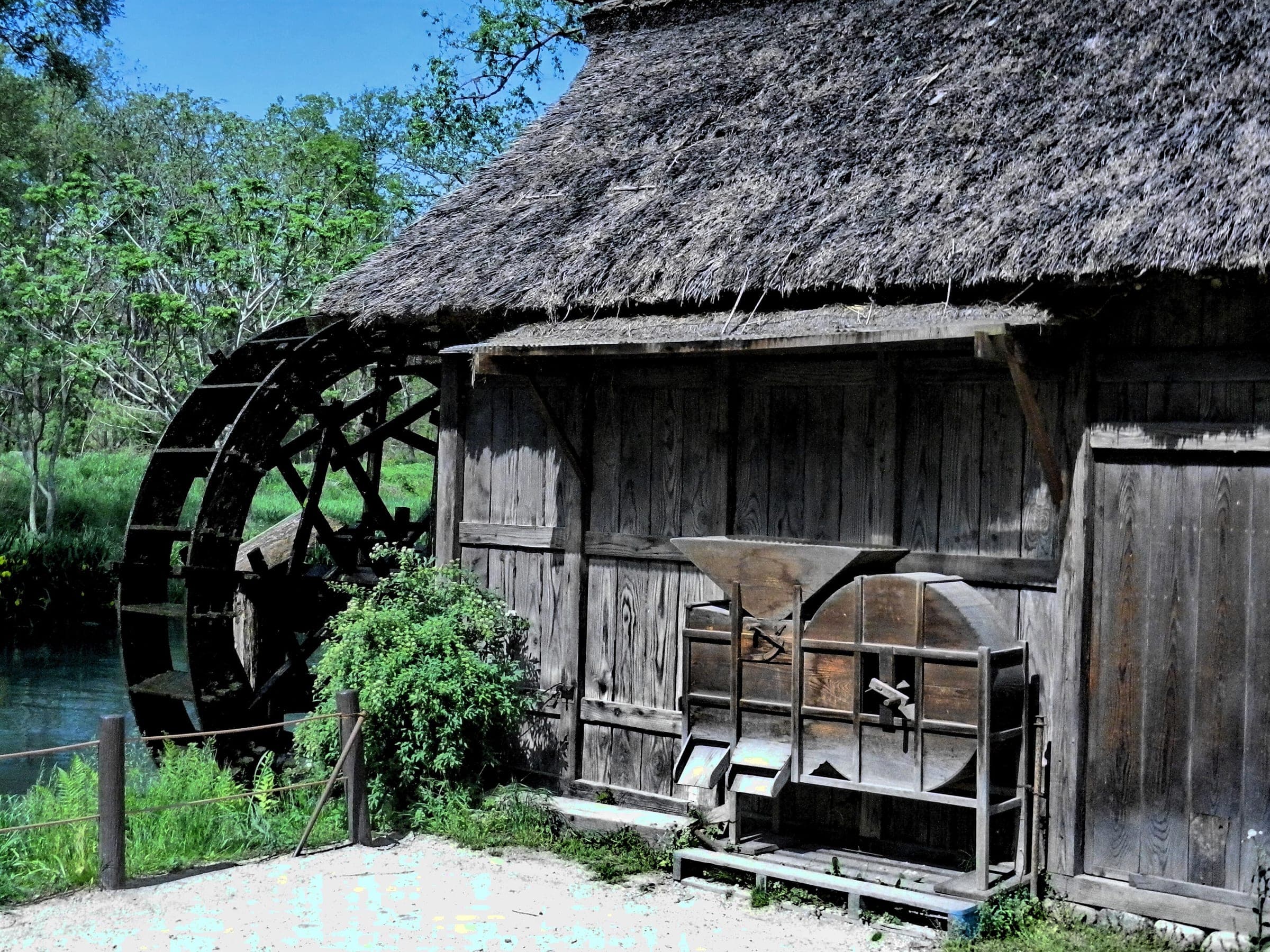
Spring-fed wasabi beds lie under the Northern Alps here.
Azuminoru BakeryCafe
The bakery sells country bread for the road and opens Thursday to Sunday.
Michi-no-eki Alps Azumino Horigane-no-SatoCafe
The city's map starts and ends the loop at this roadside station.
Every stop OpenStreetMap lists along the line (11): bike rental, cafés, konbini
- 久田自転車店Bike rentalkm 0.1
- Hitsuji CafeCaféskm 0.1
- 大王わさび農場Bike rentalkm 7
- 安曇野スイス村Bike rentalkm 8.8
- FamilyMartKonbinikm 16.3
- StarbucksCaféskm 16.5
- FamilyMartKonbinikm 16.5
- 道の駅「アルプス安曇野 ほりがねの里」Bike rentalkm 22.8
- 7-ElevenKonbinikm 23.6
- 久田自転車店Bike rentalkm 29.3
- Hitsuji CafeCaféskm 29.3
From OpenStreetMap, within each kind’s reach of the line. Opening hours change; check before you rely on one.
Ways off the route
HotakaRail
The JR Oito Line stops here at the start.
HotakaStation · km 0
AriakeStation · km 2.1 · 616 m off the line
Azumi-OiwakeStation · km 2.1 · 2.0 km off the line
有明駅Station · km 2.1 · 582 m off the line
JR東日本
TazawaStation · km 13 · 850 m off the line
NakagayaStation · km 18.9 · 1.2 km off the line
Minami-ToyoshinaStation · km 20 · 625 m off the line
ToyoshinaStation · km 20.4 · 1.5 km off the line
HakuyachōStation · km 25.7 · 1.1 km off the line
Stations from OpenStreetMap within 2 km of the line. Check whether the line takes bikes before you plan to use it.
Tunnels
The line runs through 8 tunnels, 0.4 km in all; the longest is 75 m.
Days with lunch and dinner booked in
Ride days built on this route一日
Rental near the start
Rent a bike for itレンタル
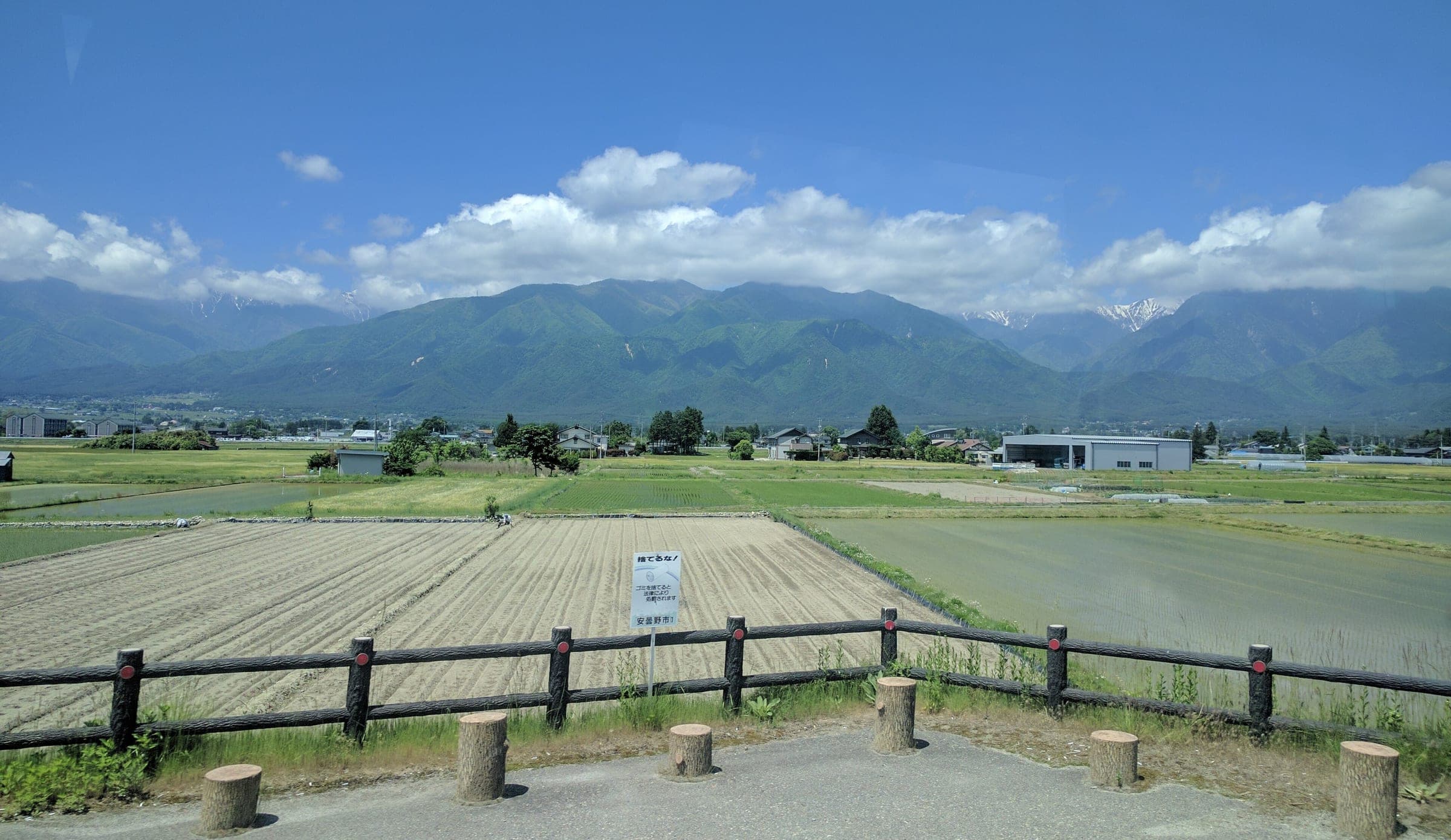
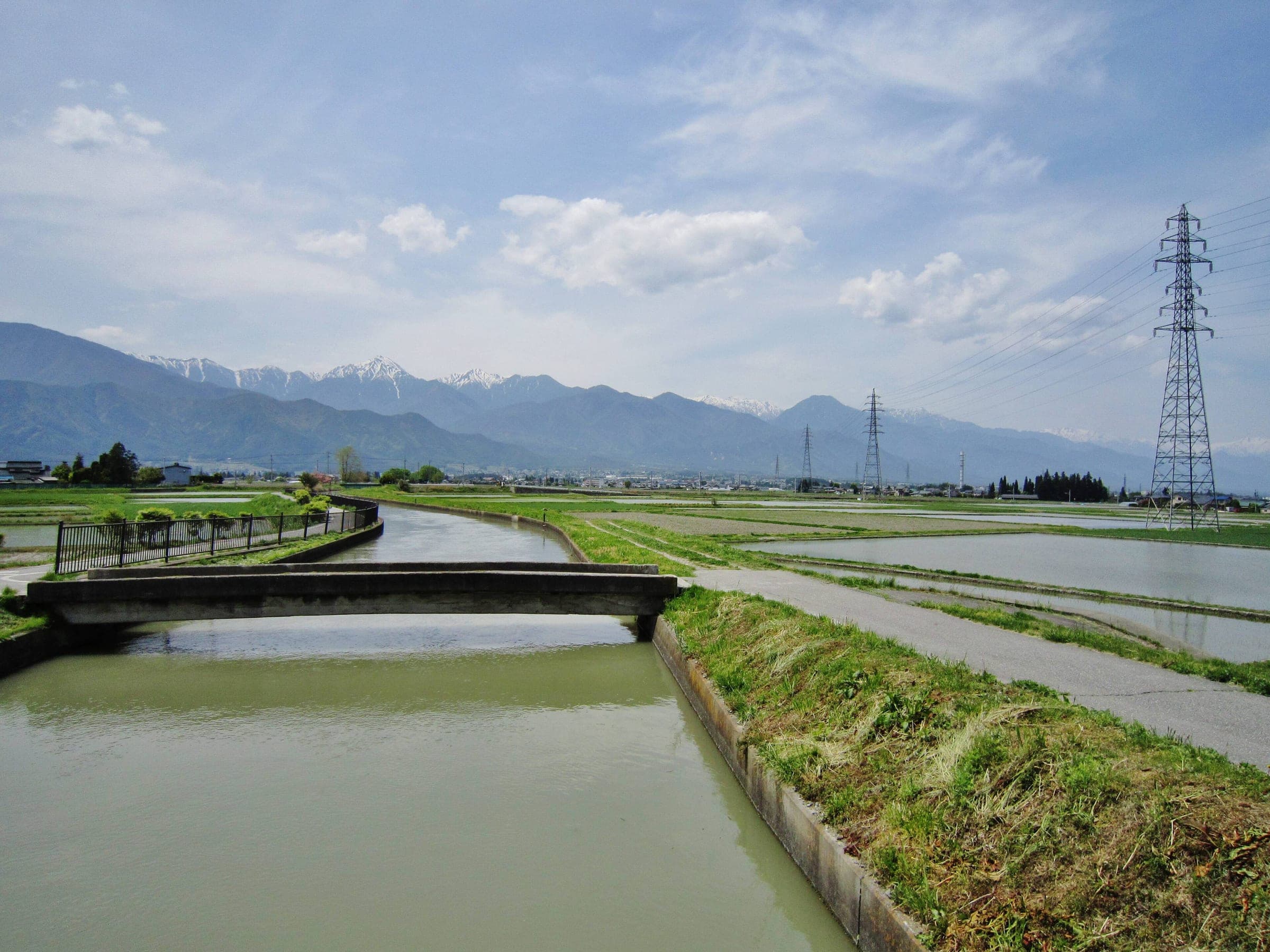
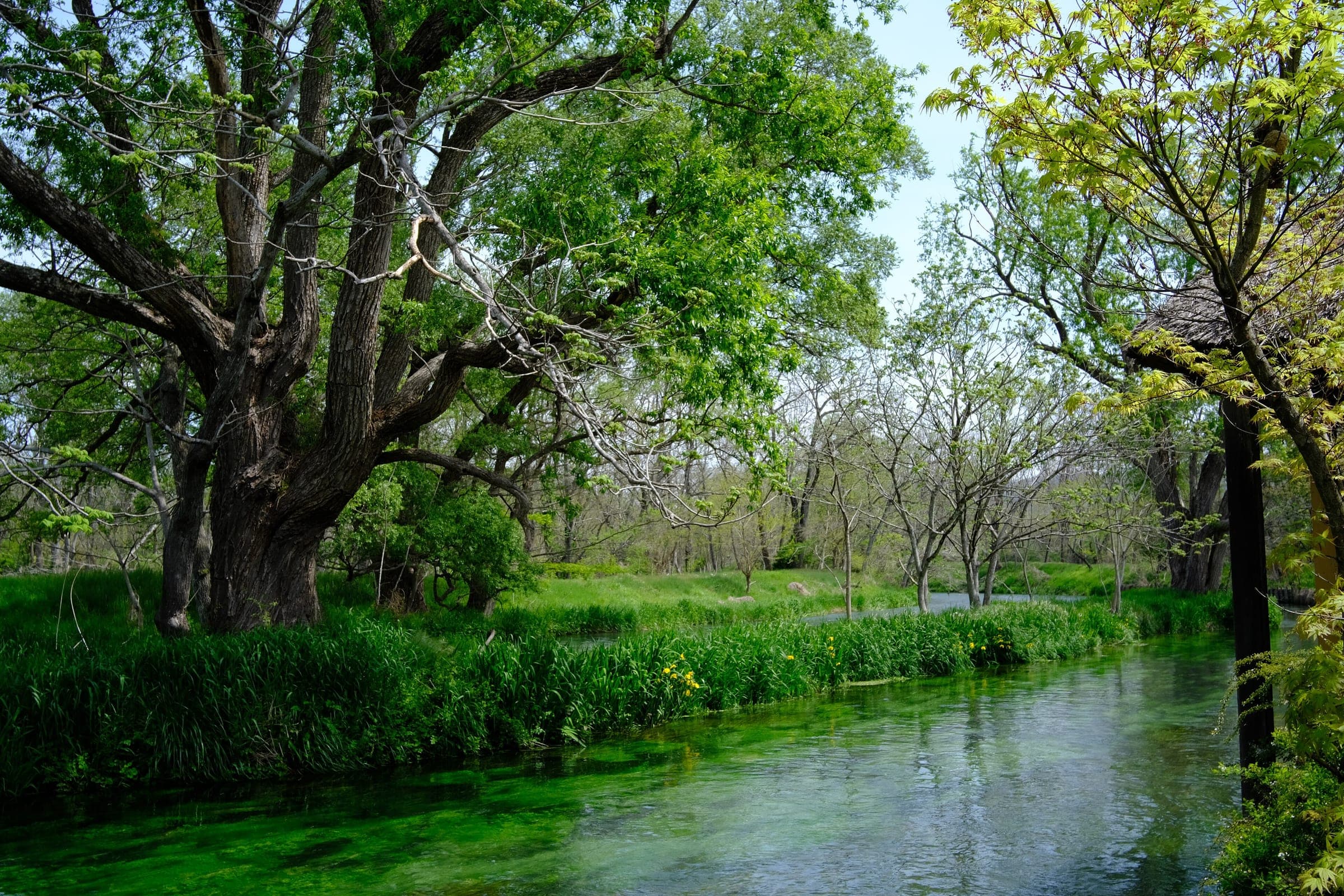
Azumino city set three cycling courses with the help of Kanako Kobayashi, who rode mountain bikes for Japan at the Olympics and lives in the city, and the A course is the one it themes on water. It rides the Azumino Yamabiko cycleway along the river and cuts through Hotaka town. From there it heads out to the wasabi fields with the Northern Alps behind them, then follows the Jukkaseki irrigation channel. The channel is listed as a World Heritage Irrigation Structure.
The city allows about four hours with stops. Hotaka Shrine and the Rokuzan Art Museum come early, and Daio Wasabi Farm sits on the loop's east side before the line swings south towards Toyoshina.
For a spring ride from Hakuba or Matsumoto, the JR Oito Line drops you at Hotaka Station, where Hitsujiya and Shinano-an rent bikes opposite the platform. That makes it a good day out while the high roads on Norikura and Shibu Pass are still closed.
Worth knowing
- Open the city's Google map of the A course on your phone; it marks every turn, the gravel stretch and the gaps in the arrow markings.
- Azumino's share-cycle scheme has e-bike docks at Hotaka, Toyoshina, Akashina and Daio Wasabi Farm if you'd rather ride a short piece of the loop.
Quick answers about Azumino Water Courseよくある質問
Where can you rent a bike for the Azumino cycling course?
Opposite JR Hotaka Station. Hitsujiya and Shinano-an both rent bikes there, e-bikes included, and Azumino's share-cycle scheme has docks at Hotaka and other stations on the Oito Line.
Is the Azumino A course suitable for beginners?
Yes. Azumino city set its three courses so that anyone can ride them safely, and it allows about four hours for the A course with stops.
How long is the Azumino Water Course ride?
The Azumino Water Course ride is 29.3 km with 68 m of climbing by our route data, routed over OpenStreetMap and measured against Copernicus DEM GLO-30 30 m. The highest point is 573 m, and the steepest 200 m averages 5%.
Where can you buy food and water on the Azumino Water Course ride?
OpenStreetMap lists konbini at 3 points within reach of the Azumino Water Course line, and drinking water at none. The longest stretch without konbini is 16.3 km, so carry what you need for it.
Which way should you ride Azumino Water Course in April to May and October to November?
In April to May and October to November the most frequent wind at the nearest weather station blows from the north-north-east at about 1.2 m/s on average. By our calculation the Azumino Water Course ride finishes with less headwind either way.
Within 8 km
Places to eat and drink nearby食
Within 8 km
Sights nearby見どころ
In the journal and guides
Read more about Azumino Water Course特集
Feature · 9 min read
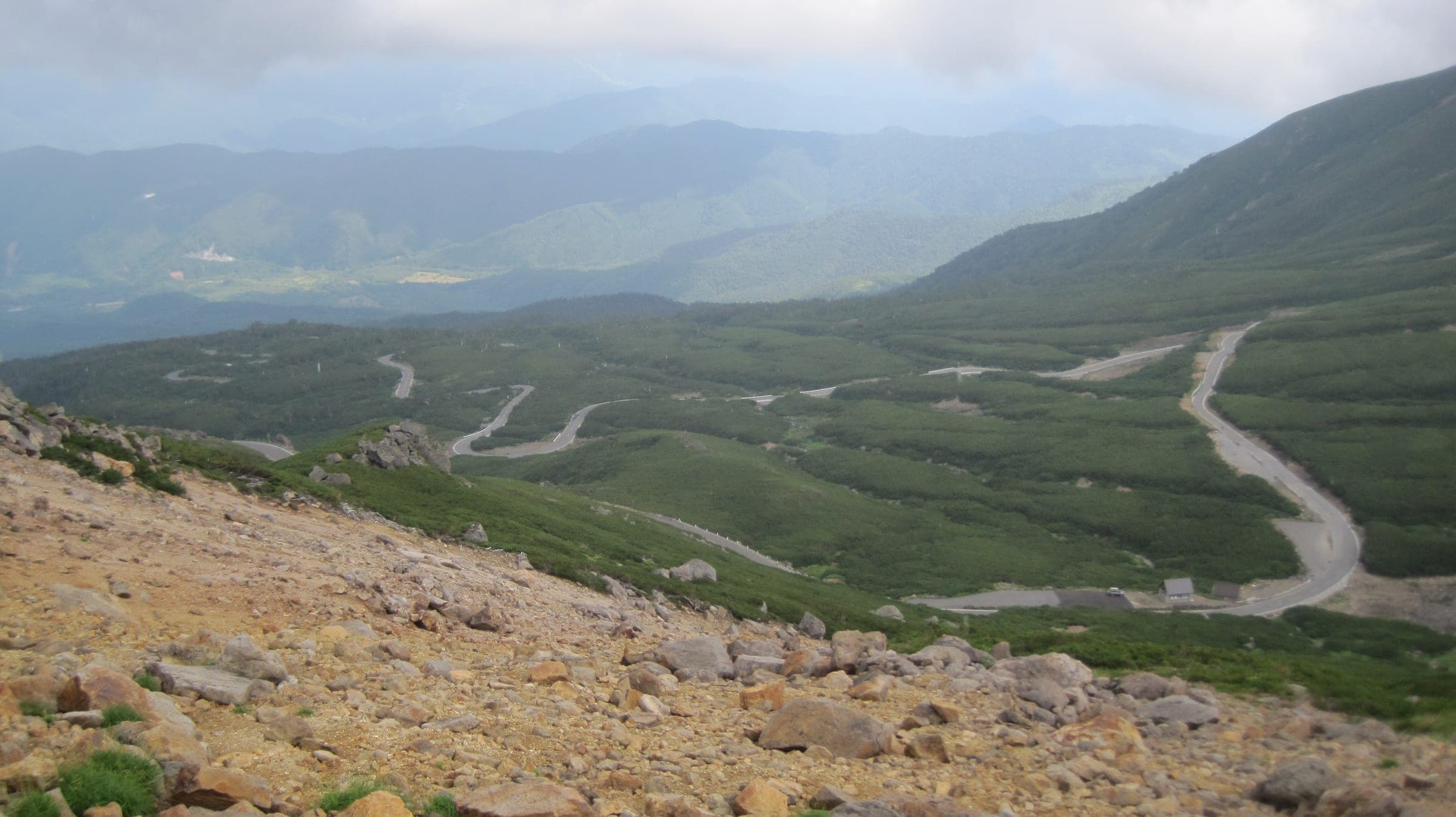
When can you ride Norikura, Shibu Pass and the Japan Alps Cycling Road?
Norikura's car-free road opens to bikes from 1 July to 31 October. Shibu Pass runs from late April to mid November, and the 800 km loop round Nagano breaks into station-to-station days.
Practical guide · 9 min read
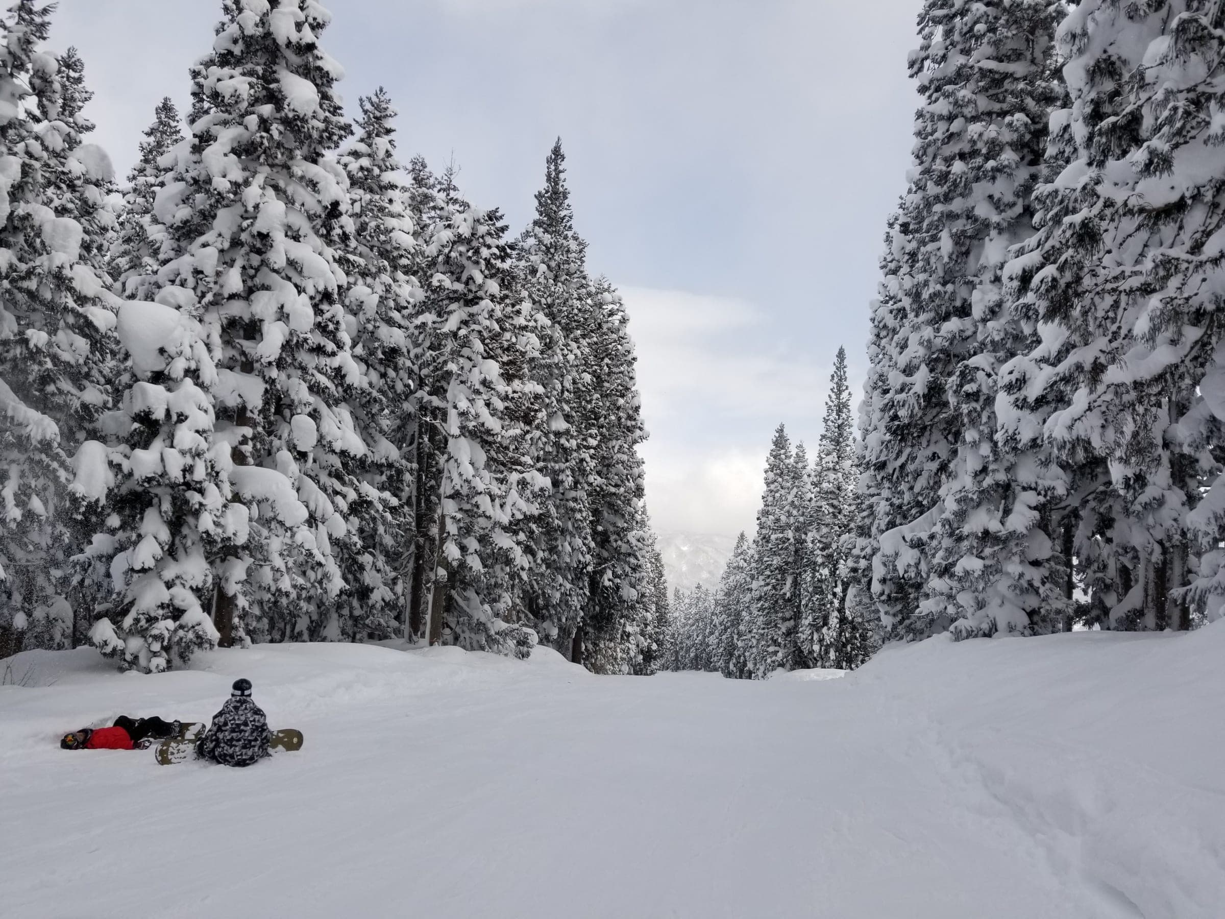
When is the best time to ski in Japan?
Mid-January to the end of February brings the most snow on Honshu and in Tohoku. Book around New Year and the 2027 holiday weekends, or wait for March and April, when the days run long and spring prices kick in.
Guide · 4 min read
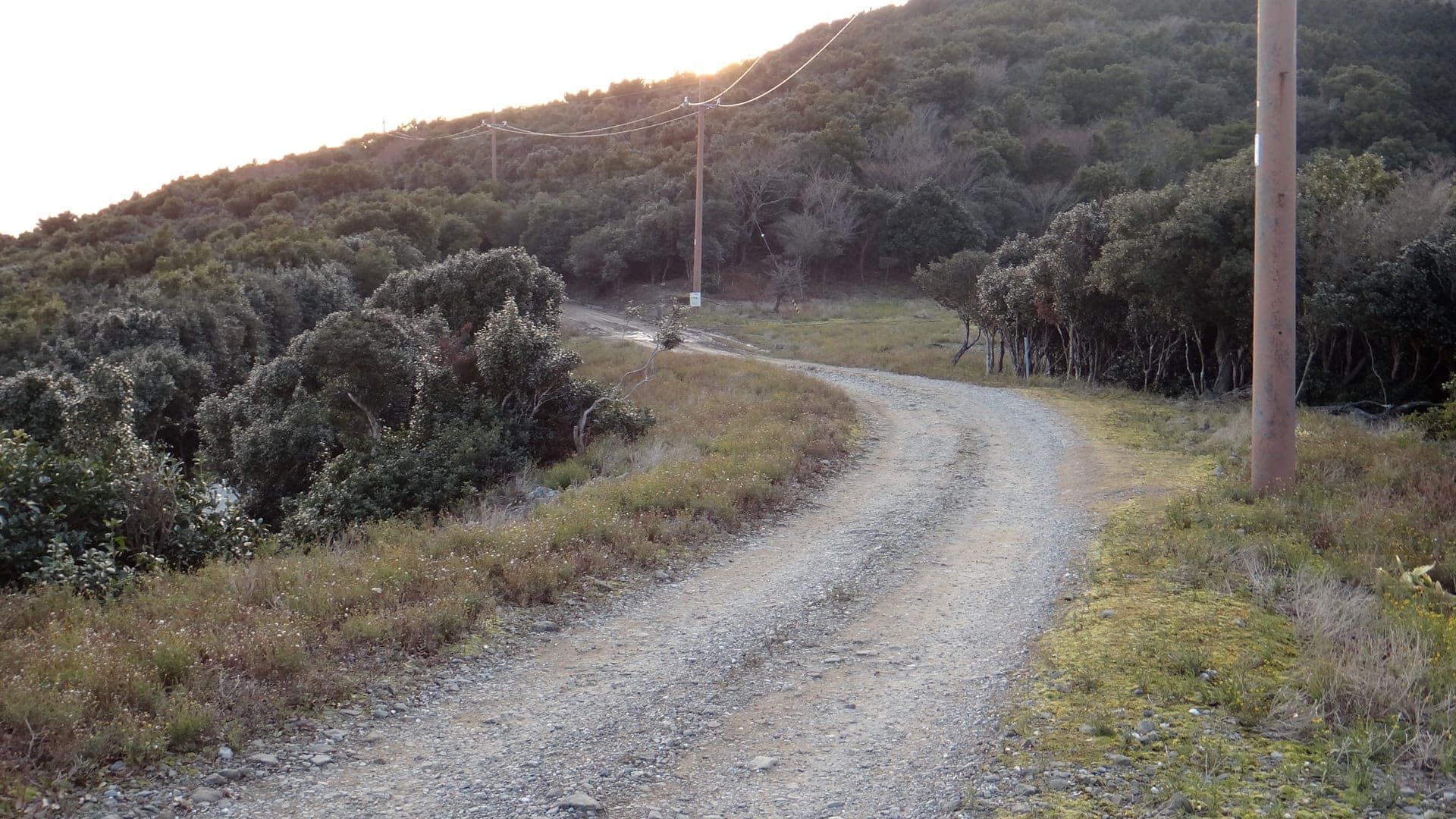
Where can you ride gravel in Japan?
Japan's gravel lives on forest roads built for forestry, and in national forests the Forestry Agency asks you to clear entry with the local forest office first. Published gravel rides are few, so start from a station that rents gravel bikes and ask locally.