Shiga Kogen Hasuike
蓮池スキー場36°43′ N 138°29′ E85 m vertical5 runs2.9 kmSeasonal
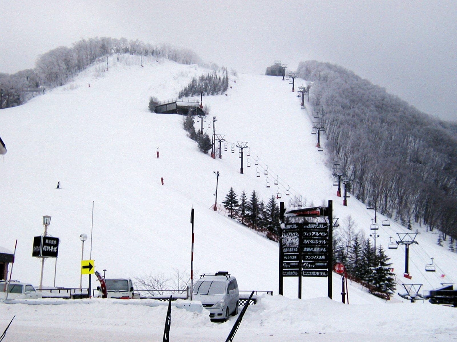
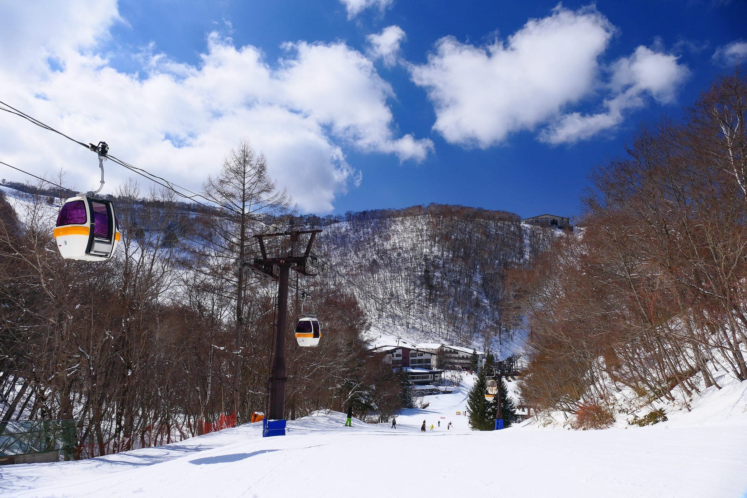
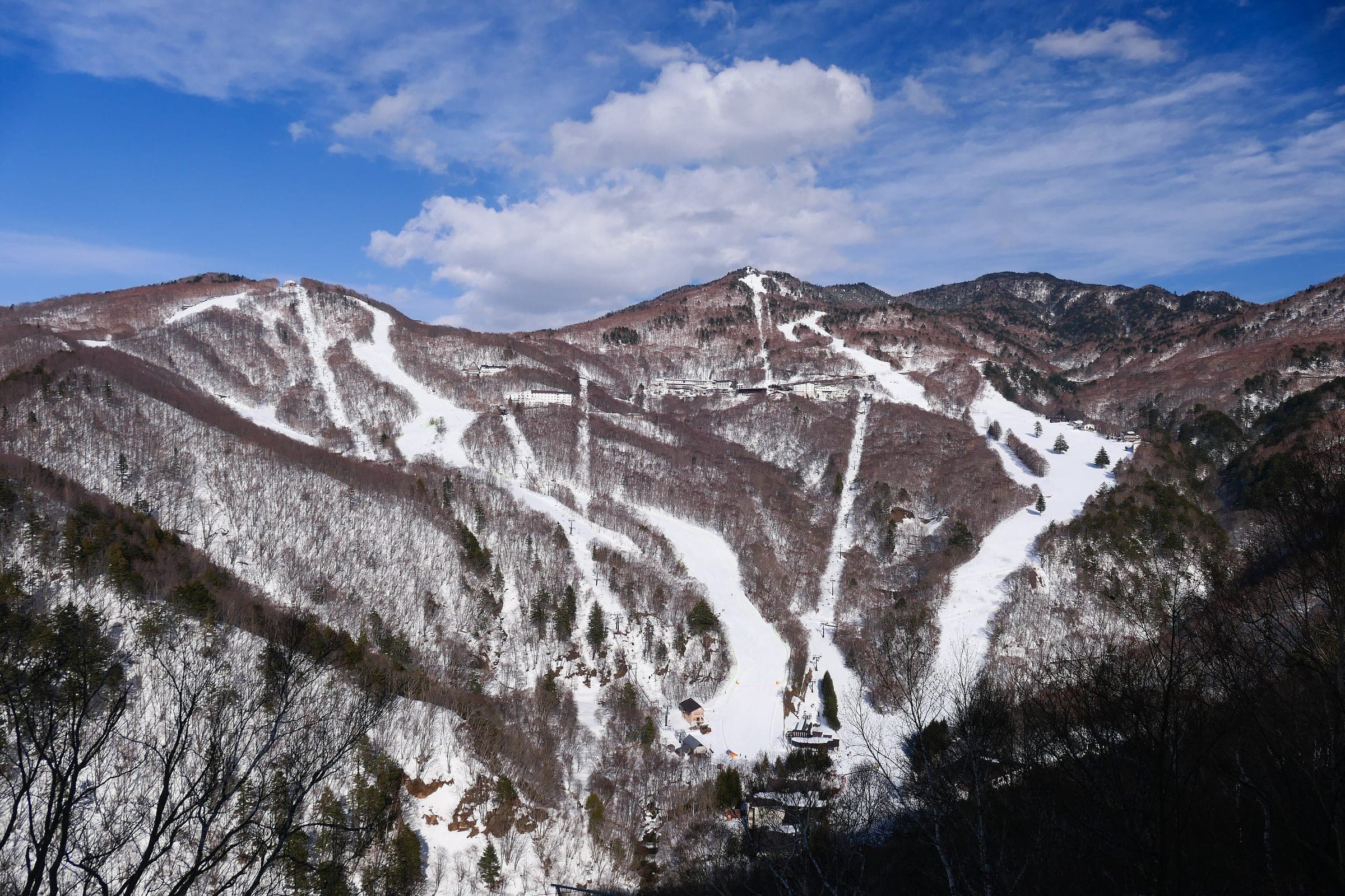
Hasuike suits children and beginners on gentle slopes in the middle of Shiga Kogen, and one triple lift is all there is.
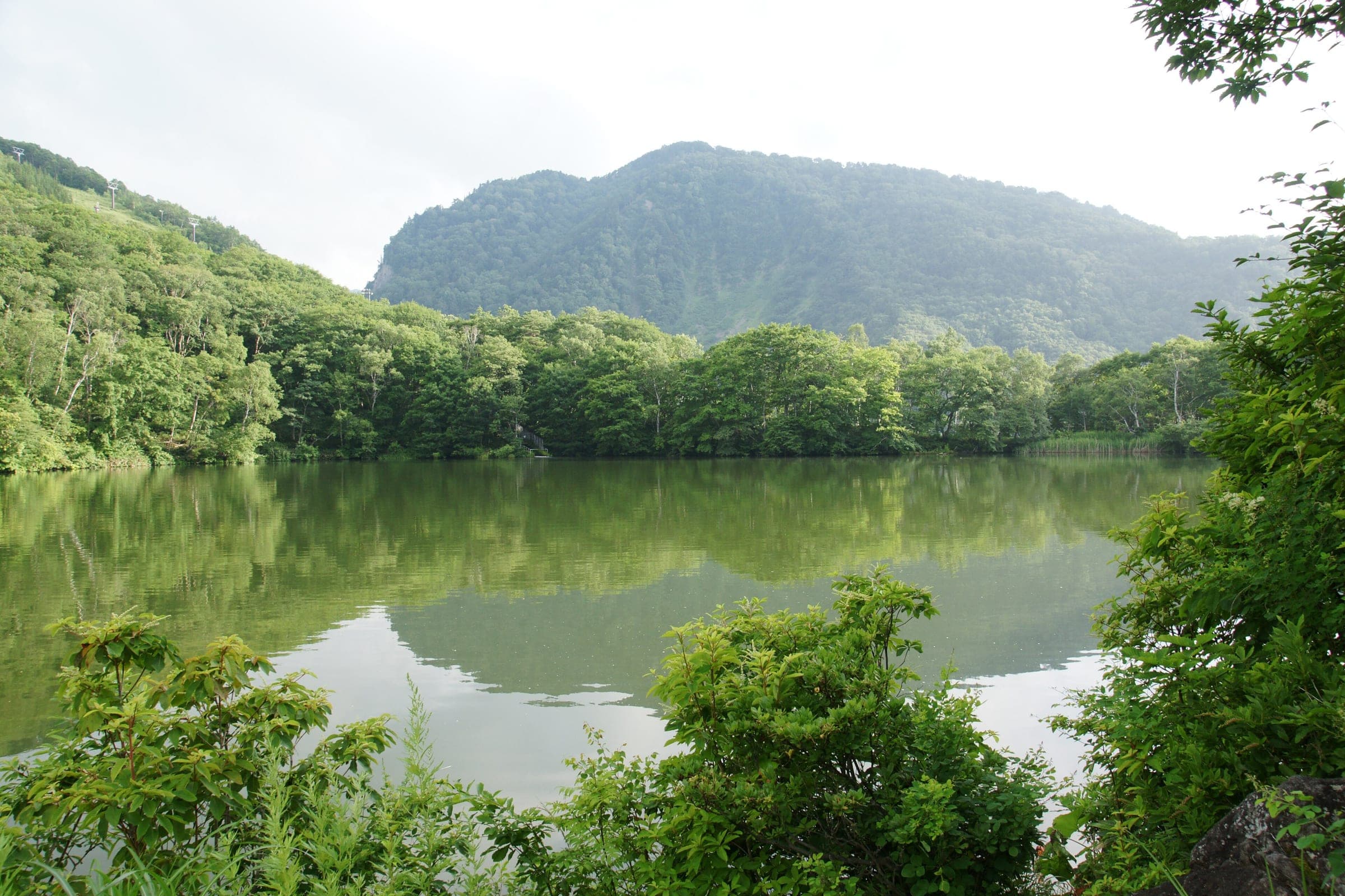
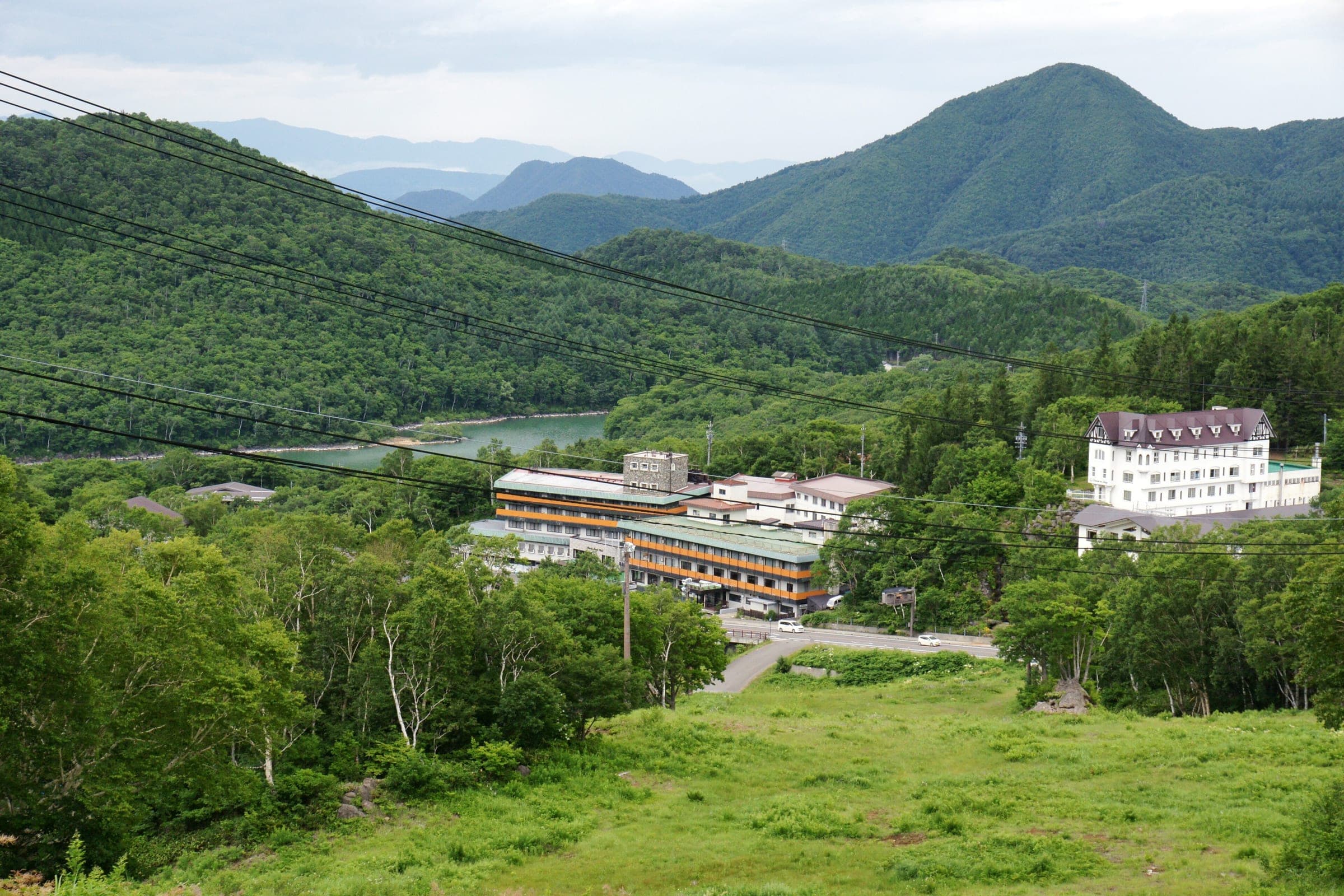
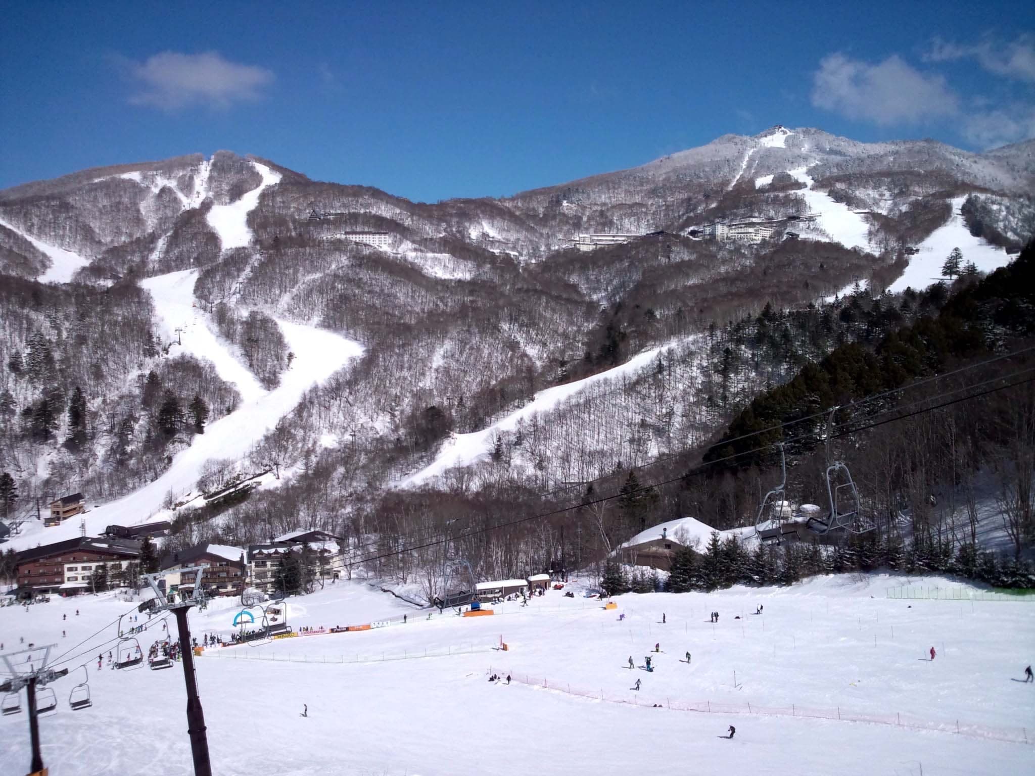
Photo 苗場山 · Wikimedia Commons · CC BY-SA 3.0 and others, credited in the gallery
- Beginner2.4 km
- Intermediate0.2 km
- Advanced0.3 km
Figures the resort does not publish are measured from the map data.
OpenStreetMap maps 5 named runs and 2 lifts at Shiga Kogen Hasuike, and the guide measures each one against the elevation model.
Open the 3D map ↓Fly the mountain in 3D立体地図
Ride every run at Shiga Kogen Hasuikeコース
| Avg | Faces | Map | |||||
|---|---|---|---|---|---|---|---|
| Maruike C Course丸池Cコース | 655 m | 108 m | 15.6° | 9.1° | NW | ||
| Hasuike A Course蓮池Aコース | 397 m | 73 m | 21.1° | 10.2° | N | ||
| Hasuike Junior Course蓮池ジュニアコース | 658 m | 71 m | 14.1° | 6° | NE | ||
| Maruike B Course丸池Bコース | 157 m | 44 m | 19.1° | 15.6° | N | ||
| Maruike A Course丸池Aコース | 300 m | 107 m | 29.7° | 19.5° | NW |
Lengths, vertical, pitch and aspect are measured from OpenStreetMap run lines and the elevation model. Steepest is the hardest 60 m pitch. Read them as a guide and follow the signs on the hill.
Beyond the ropes · Through gates
Shiga Kogen marks its side-country exits with a warning sign that tells you that you are leaving the ski area. The resort-wide side-country map shows where riding outside the runs is tolerated, and everything outside that mapped area is closed.
- Leave the runs only at an exit marked with the side-country warning sign
- Never enter the closed areas shown on the side-country map or ride past a 'no entry' sign
- Carry proper safety equipment and know how to use it before going through an exit
- If patrol has to search for or rescue you outside the ski area, the resort bills you for the full cost
- Read the Japan Avalanche Network bulletin before you go out
2 lifts on the map, and 1 are drag lifts
Know the liftsリフト
Season 2026/27
Buy the right ticket
- Adult day
- ¥9,500, about CAD 85 or USD 60 (October 2026 rates)
- Early and late season
- ¥7,500, about CAD 67 or USD 47 (October 2026 rates)
- 2 days
- ¥18,500, about CAD 166 or USD 117 (October 2026 rates)
- 3 days
- ¥27,500, about CAD 247 or USD 174 (October 2026 rates)
- 5 days
- ¥45,500, about CAD 409 or USD 288 (October 2026 rates)
Shiga Kogen sells one All-Mountain key ticket for all 18 areas and 45 lifts. Students pay ¥6,500 a day, children ¥4,000 and seniors ¥8,000; multi-day passes run up to ten days and can be used on non-consecutive days. Early-morning and night sessions need separate tickets, and from 7 May each area sells its own. Ikon Pass holders use their pass as an All-Mountain ticket with no reservation. Online sales open on 1 November 2026.
These passes cover days here
- Ikon PassIkon Pass: 7 days at each of the ten Japanese mountains, no blackouts. Ikon Base Pass: 5 days at each. Ikon Session Pass: Niseko United only (2, 3 or 4 day options).
- Shiga Kogen All-Mountain Ski PassEvery day opens all 18 areas and their 45 lifts and gondolas. Tickets of 2 to 10 days work on any days in the season, consecutive or not; early-season and spring tickets run on consecutive days.
Get thereアクセス
From Tokyo Station
- Drive
- About 3 hr 30 min (about 240 km) from Nerima IC via the Kan-etsu and Joshin-etsu expressways to Shinshu-Nagano IC, then Route 292
- Bus
- The Nagaden direct bus from Nagano Station runs about four times a day outside the main winter season.
- Train
- Hokuriku Shinkansen from Tokyo to Nagano, about 1 hr 19 min. From Nagano Station East Exit the Nagaden direct bus runs to Shiga Kogen; the other way is the Nagano Electric Railway from the Zenkoji Exit to Yudanaka and a local bus up the mountain.
The nearest station is Yudanaka. Nagano Electric Railway; local buses run from here to Shiga Kogen. JR riders change at Nagano.
The nearest Shiga Kogen bus stops are Hasuike Hiroba. Shuttle buses link the areas, and the key ticket works on every lift.
Hasuike's gentle runs suit children and first-timers, and the terrain makes good use of the natural ground. A trail near the lift links it to Giant, and another comes in from the top of Giant.
Worth knowing
- Use Hasuike as a warm-up before the Giant face next door.
Quick answers about Shiga Kogen Hasuikeよくある質問
How big is Shiga Kogen Hasuike?
Shiga Kogen Hasuike has 5 runs and 1 lifts over 85 m of vertical, from 1,505 m at the base to 1,590 m at the top. OpenStreetMap maps 2.9 km of piste there.
How steep is Shiga Kogen Hasuike?
The steepest mapped pitch at Shiga Kogen Hasuike is about 29.7° over 60 m. We measure it from OpenStreetMap's run lines and the elevation model. Its advanced and expert runs add up to 0.3 km of the mapped total.
Can you ride off-piste at Shiga Kogen Hasuike?
Shiga Kogen marks its side-country exits with a warning sign that tells you that you are leaving the ski area. The resort-wide side-country map shows where riding outside the runs is tolerated, and everything outside that mapped area is closed.
How much is a lift ticket at Shiga Kogen Hasuike?
An adult day ticket at Shiga Kogen Hasuike costs ¥9,500, about CAD 85 or USD 60 (October 2026 rates) in the 2026/27 main season and ¥7,500, about CAD 67 or USD 47 (October 2026 rates) early or late in the season. Ikon Pass and Shiga Kogen All-Mountain Ski Pass holders ride here too.
How do you get to Shiga Kogen Hasuike from Tokyo Station?
Shiga Kogen Hasuike is about 3 hr 30 min (about 240 km) from Nerima IC via the Kan-etsu and Joshin-etsu expressways to Shinshu-Nagano IC, then Route 292 by car from Tokyo Station. By bus: The Nagaden direct bus from Nagano Station runs about four times a day outside the main winter season.
When is the season at Shiga Kogen Hasuike?
Shiga Kogen Hasuike usually opens the All-Mountain pass runs from 5 December 2026; each area opens when its snow allows and closes in 2025/26 the planned closing date was 31 March.
Within 25 km
Places to stay nearby宿
Within 30 km
Hot springs nearby温泉
Within 35 km
Towns and neighbourhoods nearby町


Within 80 km