Okinawa
沖縄On rideokinawa.com255 places
Okinawa is where Japan rides in winter, with warm coast roads and island loops from December to March, and Ride Okinawa covers every island from the main island to Yonaguni and Yoron. Riding Japan sends you there for the island part of a trip.
Sister guide
Ride Okinawa covers Okinawa
Islands, beaches, stays, food and culture across Okinawa, Kerama, Miyako and Yaeyama, with a cycling route library built from open map data and an AI trip planner that books the ferries, flights and stays.
Islands 36 · Routes 31 · Ride days 20 · Towns 80 · Beaches 88
Open rideokinawa.comRoutesIslandsTownsBeachesEach place opens on rideokinawa.com
On rideokinawa.com
Islands
Yoron-jima
Island · Yoron
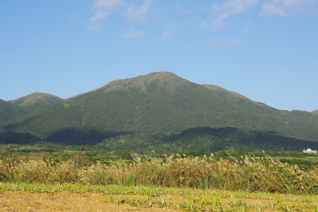
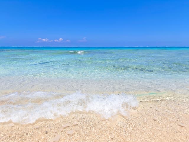
Yoron-jima is the southernmost island of Kagoshima Prefecture and lies about 23 km north of Cape Hedo on Okinawa; the flat 20.58 km² coral island is reached by a 40-minute flight from Naha or a 2 hour 30 minute ferry…
On rideokinawa.com
Aka-jima
Island · Kerama Islands
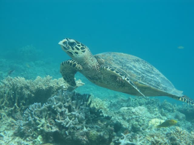
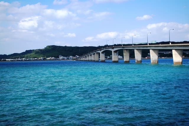
Aka-jima is a 3.80 km² island of about 235 people in Zamami Village that the high-speed Queen Zamami reaches from Naha's Tomari Port in about 50 minutes, and its 530 m bridge to Geruma makes it the one place in the…
On rideokinawa.com
Geruma-jima
Island · Kerama Islands
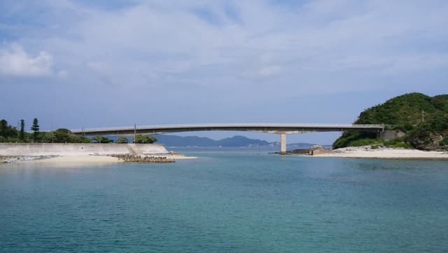
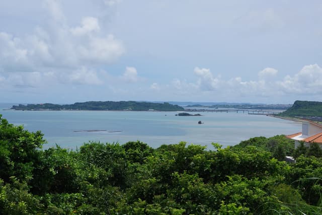
Geruma-jima is a 1.15 km² island of about 48 people in Zamami Village that the 530 m Aka Ohashi joins to Aka and the 240 m Geruma bridge joins to Fukaji and the Kerama airport, and its Kerama deer and their habitat are…
On rideokinawa.com
Hateruma-jima
Island · Yaeyama Islands
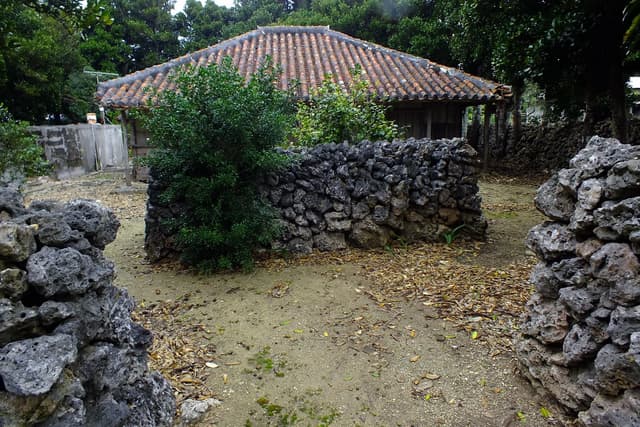
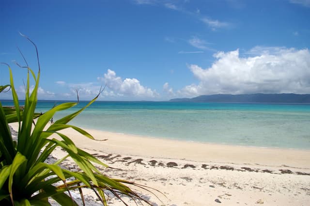
Hateruma-jima is Japan's southernmost inhabited island and lies 60–90 minutes by high-speed boat south-west of Ishigaki; its 442 people farm sugar cane on 12.73 km², with Nishihama beach on the north shore and the…
On rideokinawa.com
On rideokinawa.com
Routes
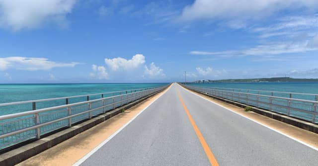
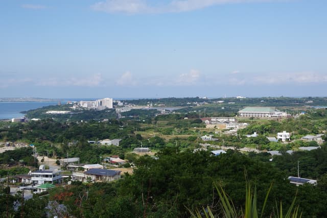
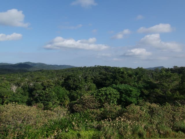
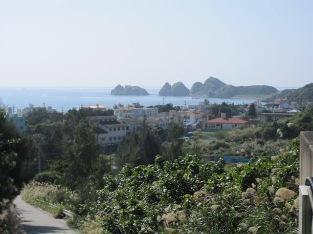
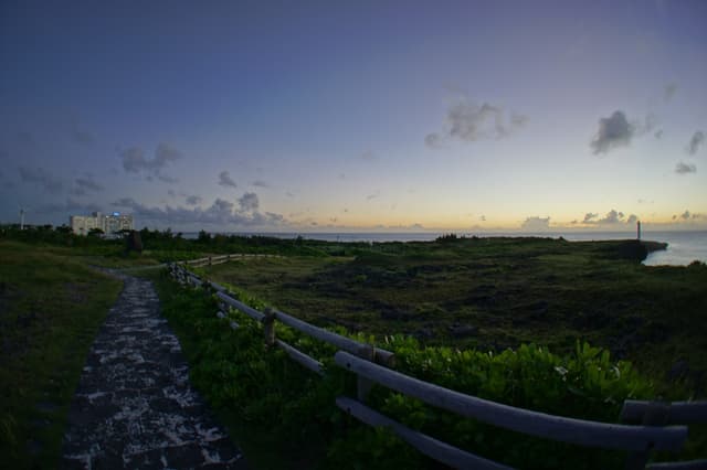
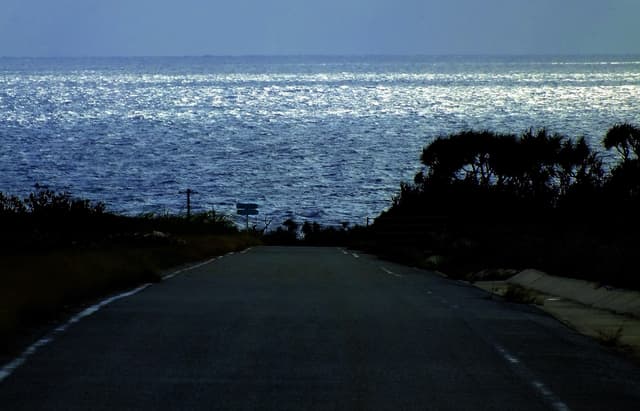
Hateruma loop to Japan's southernmost point
Route · Yaeyama Islands
The Hateruma loop is a 15.2 km ride by our route data from Hateruma Port past Nishihama and round the island's ring road to the monument marking Japan's southernmost point at Takanasaki, with 98 m of climbing, no…
On rideokinawa.com
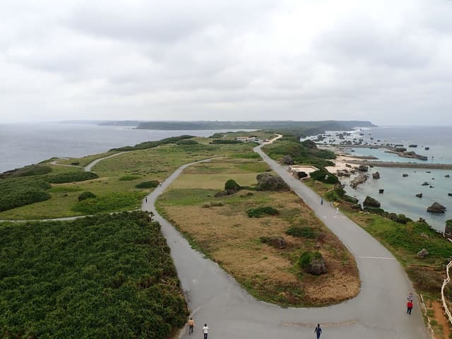
Shigira to Higashi-Hennazaki and back
Route · Miyako Islands
The ride from Shigira to Higashi-Hennazaki is a 29.4 km out-and-back by our route data along Miyako's south coast to the lighthouse at the island's eastern tip, with 354 m of climbing in short rises, and it suits a…
On rideokinawa.com
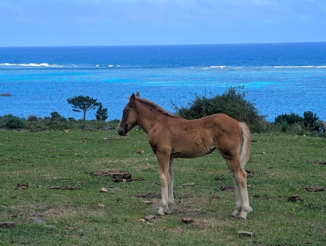
Hirakubo peninsula to the northern lighthouse
Route · Yaeyama Islands
The Hirakubo peninsula ride is a 32.6 km out-and-back by our route data from the Tamatorizaki lookout up Route 206 to Hirakubozaki Lighthouse at Ishigaki's northern tip, with 388 m of climbing, no konbini and the…
On rideokinawa.com
On rideokinawa.com
Ride days
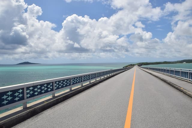
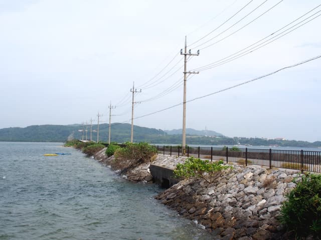
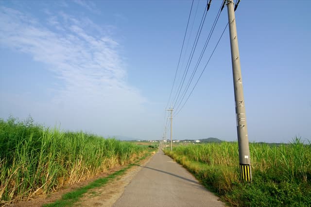
On rideokinawa.com
Towns
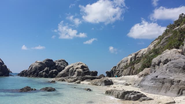
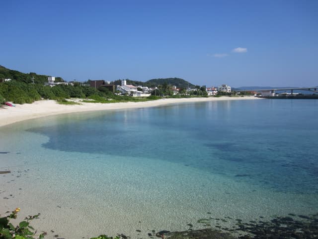
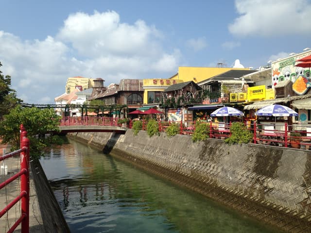
American Village, Mihama and Sunabe
Town · Central Okinawa
American Village is the shopping and dining district that wraps around Depot Island and a seafront promenade in Chatan's Mihama, and this page also covers the Sunabe seawall about 15 minutes' walk north. Fireworks go…
On rideokinawa.com
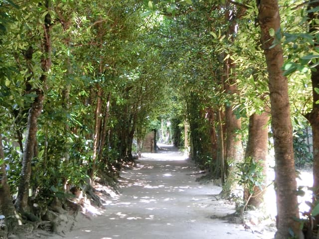
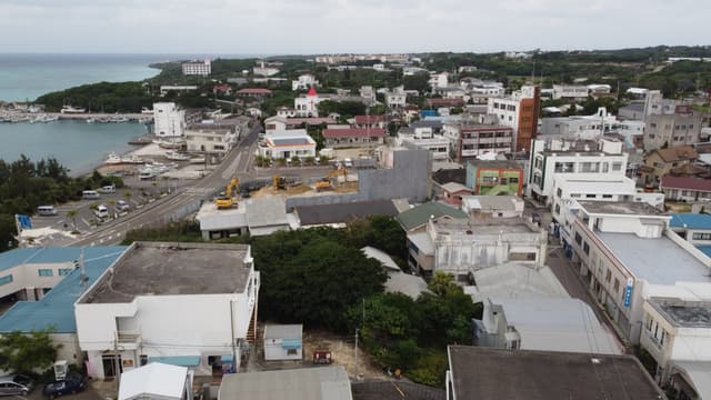

Eef Beach area
Town · Kume-jima
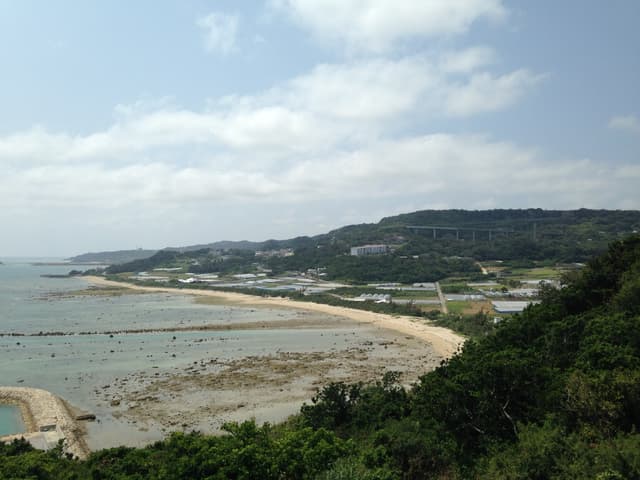
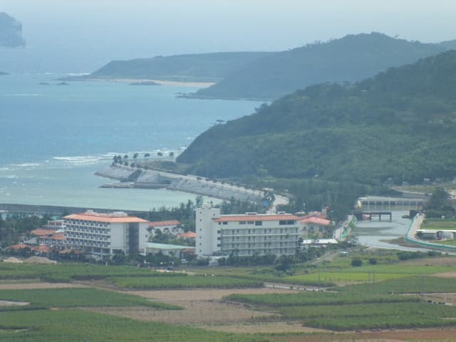
The Eef Beach area in Higa and Janado is Kume-jima's resort strip on the east coast, where hotels and restaurants line 2 km of beach, and the Hatenohama boats leave from Tomari Fisherina a short ride north, near the…
On rideokinawa.com
On rideokinawa.com
Beaches
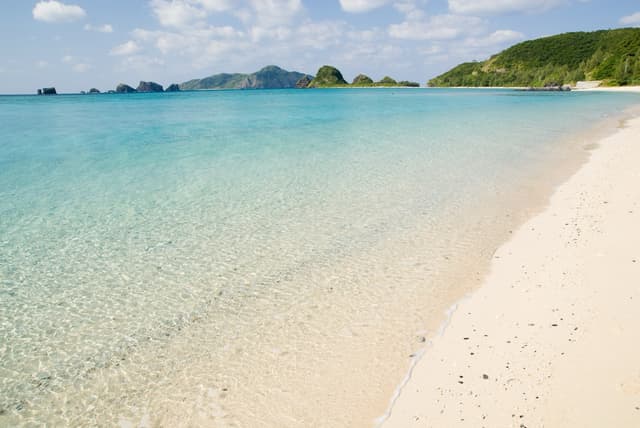
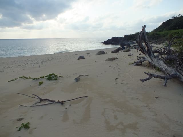
Ara Beach
Beach · Kume-jima
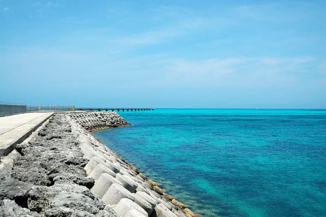
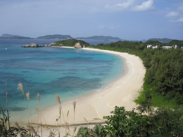
Ara Beach is a quiet cove on Kume-jima's south side that hills ring at the end of a mountain road, and it has toilets and parking with no showers; the town advises leaving before sunset because the road back gets dark.
On rideokinawa.com
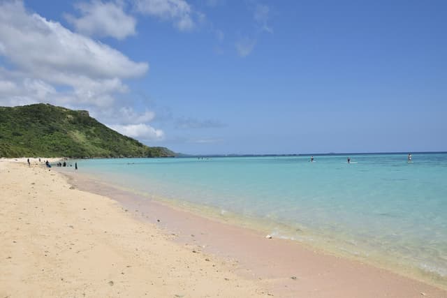
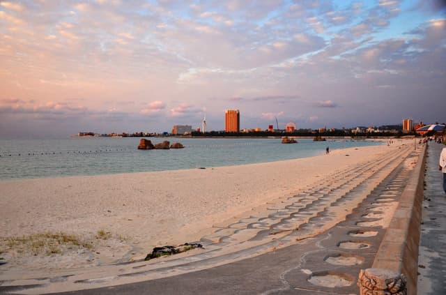
Araha Beach
Beach · Central Okinawa
Araha Beach is a 600 m managed sand beach in Chatan's Araha Park, with lifesavers and showers from 10 April to 31 October in 2026. It faces west for the sunset and sits about 2.7 km of flat riding south of American…
On rideokinawa.com
When the mountain roads on Honshu close for the winter, the Ryukyu islands stay warm enough to ride in a jersey. Bridges join Miyako to its neighbours and Kouri to the main island, and the north of the main island climbs through the Yanbaru forest. The islands are a flight from Tokyo or Osaka, so they make their own leg of a trip.
Ride Okinawa is our sister guide. Its route library is built from open map data with every climb measured, and its ride days pair a route with lunch, a swim and dinner. The cards below open its pages directly.
Yoron sits in Kagoshima on paper and looks to Okinawa in every other way, so Ride Okinawa covers it too. The Amami islands north of Yoron wait for a later call between the two guides.
Quick answers about Okinawaよくある質問
Can you ride a bike in Okinawa in winter?
Yes. Okinawa stays mild from December to March, and Ride Okinawa at rideokinawa.com lists the routes and ride days for every island.
How do you get from Tokyo to Okinawa with a bike?
Fly from Haneda or Narita to Naha with the bike boxed as checked baggage, which most airlines accept for a fee. Ride Okinawa's guide to bringing your bike covers the ferries and island flights from there.
Which guide covers Okinawa?
Ride Okinawa covers Okinawa at https://rideokinawa.com/. Its guide lists 255 places there, and each one on this page opens its page on rideokinawa.com.